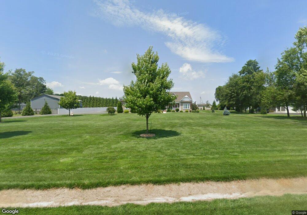
28018 Abbie Ln Seaford, DE 19973
Estimated Value: $490,000 - $656,000
3
Beds
--
Bath
1,755
Sq Ft
$307/Sq Ft
Est. Value
About This Home
This home is located at 28018 Abbie Ln, Seaford, DE 19973 and is currently estimated at $539,356, approximately $307 per square foot. 28018 Abbie Ln is a home with nearby schools including West Seaford Elementary School, Seaford Central Elementary School, and Seaford Middle School.
Ownership History
Date
Name
Owned For
Owner Type
Purchase Details
Closed on
Jan 30, 2017
Sold by
Joint Rev Trust Of Michael T Ryan And Br
Bought by
Ryan Brenda G and Ryan Michael T
Current Estimated Value
Home Financials for this Owner
Home Financials are based on the most recent Mortgage that was taken out on this home.
Original Mortgage
$270,700
Outstanding Balance
$223,435
Interest Rate
4.09%
Mortgage Type
New Conventional
Estimated Equity
$315,921
Purchase Details
Closed on
Aug 15, 2016
Sold by
Tull Benjamin H
Bought by
Revoca Michael T and Revoca Brenda G
Purchase Details
Closed on
Aug 8, 2016
Sold by
Tull Benjamin H
Bought by
Revoca Michael T and Revoca Brenda G
Create a Home Valuation Report for This Property
The Home Valuation Report is an in-depth analysis detailing your home's value as well as a comparison with similar homes in the area
Home Values in the Area
Average Home Value in this Area
Purchase History
| Date | Buyer | Sale Price | Title Company |
|---|---|---|---|
| Ryan Brenda G | -- | None Available | |
| Revoca Michael T | $25,000 | None Available | |
| Revoca Michael T | $25,000 | None Available |
Source: Public Records
Mortgage History
| Date | Status | Borrower | Loan Amount |
|---|---|---|---|
| Open | Ryan Brenda G | $270,700 |
Source: Public Records
Tax History Compared to Growth
Tax History
| Year | Tax Paid | Tax Assessment Tax Assessment Total Assessment is a certain percentage of the fair market value that is determined by local assessors to be the total taxable value of land and additions on the property. | Land | Improvement |
|---|---|---|---|---|
| 2025 | $1,525 | $28,350 | $1,150 | $27,200 |
| 2024 | $976 | $28,350 | $1,150 | $27,200 |
| 2023 | $917 | $28,350 | $1,150 | $27,200 |
| 2022 | $1,382 | $28,350 | $1,150 | $27,200 |
| 2021 | $1,387 | $28,350 | $1,150 | $27,200 |
| 2020 | $1,503 | $28,350 | $1,150 | $27,200 |
| 2019 | $1,316 | $28,350 | $1,150 | $27,200 |
| 2018 | $1,284 | $28,350 | $0 | $0 |
| 2017 | $1,218 | $28,350 | $0 | $0 |
| 2016 | $48 | $1,150 | $0 | $0 |
Source: Public Records
Map
Nearby Homes
- 9 Woodland Dr
- 25672 Brookside Dr
- 0 Lonesome Rd Unit DESU2006554
- 24510 Chapel Branch Rd
- 4466 Mayflower Ln
- 4689 Woodpecker Rd
- 4070 Woodpecker Rd
- 27950 Woodland Rd
- 4405 Green Briar Way
- 308 Sussex Ave
- 26835 Walker Rd Unit 56043
- 137 S Paula Lynne Dr
- 38 Read St
- 35 Read St
- 406 Nylon Blvd
- 514 N Willey St
- Lot 18 Pennsylvania Ave
- 100 Nylon Blvd
- 611 Pennsylvania Ave
- 714 W Ivy Dr
- 4941 Woodpecker Rd Unit 1
- 4899 Woodpecker Rd
- 27020 Farm View Ln
- 28043 Abbie Ln
- 4918 Woodpecker Rd
- 4963 Woodpecker Rd
- 4930 Woodpecker Rd
- 4954 Woodpecker Rd
- 4873 Woodpecker Rd
- 4976 Woodpecker Rd
- 4883 Woodpecker Rd
- 4999 Woodpecker Rd Unit 3
- 4988 Woodpecker Rd
- 27 Woodland Dr
- 00 Woodland Church and Pierce Rd
- 00 Woodland Church and Pierce Dr
- 5015 Woodpecker Rd Unit 4
- 5006 & 5012 Woodpecker Rd
- 5006 Woodpecker Rd
- 5006 Woodpecker Rd