Estimated Value: $501,000 - $550,000
4
Beds
3
Baths
1,772
Sq Ft
$293/Sq Ft
Est. Value
About This Home
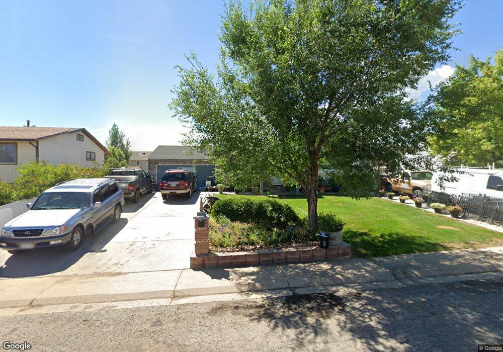
This home is located at 2803 West Ave, Rifle, CO 81650 and is currently estimated at $519,706, approximately $293 per square foot. 2803 West Ave is a home located in Garfield County with nearby schools including Wamsley Elementary School, Rifle Middle School, and Rifle High School.
Ownership History
Date
Name
Owned For
Owner Type
Purchase Details
Closed on
Sep 5, 2002
Sold by
Hoach Donald D and Hoach Patricia Diane
Bought by
Zamudio Florentino and Zamudio Ana B
Current Estimated Value
Home Financials for this Owner
Home Financials are based on the most recent Mortgage that was taken out on this home.
Original Mortgage
$159,355
Outstanding Balance
$64,441
Interest Rate
6.33%
Mortgage Type
FHA
Estimated Equity
$455,265
Purchase Details
Closed on
Jun 17, 1992
Purchase Details
Closed on
Feb 21, 1992
Purchase Details
Closed on
Jan 20, 1988
Create a Home Valuation Report for This Property
The Home Valuation Report is an in-depth analysis detailing your home's value as well as a comparison with similar homes in the area
Home Values in the Area
Average Home Value in this Area
Purchase History
| Date | Buyer | Sale Price | Title Company |
|---|---|---|---|
| Zamudio Florentino | $172,000 | -- | |
| -- | $75,900 | -- | |
| -- | $75,900 | -- | |
| -- | $74,500 | -- | |
| -- | $74,500 | -- | |
| -- | $44,000 | -- |
Source: Public Records
Mortgage History
| Date | Status | Borrower | Loan Amount |
|---|---|---|---|
| Open | Zamudio Florentino | $159,355 |
Source: Public Records
Tax History
| Year | Tax Paid | Tax Assessment Tax Assessment Total Assessment is a certain percentage of the fair market value that is determined by local assessors to be the total taxable value of land and additions on the property. | Land | Improvement |
|---|---|---|---|---|
| 2024 | $2,437 | $24,660 | $3,500 | $21,160 |
| 2023 | $1,880 | $24,660 | $3,500 | $21,160 |
| 2022 | $1,589 | $22,200 | $3,820 | $18,380 |
| 2021 | $1,826 | $22,840 | $3,930 | $18,910 |
| 2020 | $1,490 | $20,370 | $2,860 | $17,510 |
| 2019 | $1,410 | $20,370 | $2,860 | $17,510 |
| 2018 | $1,130 | $15,960 | $2,660 | $13,300 |
| 2017 | $1,021 | $15,960 | $2,660 | $13,300 |
| 2016 | $793 | $14,030 | $2,550 | $11,480 |
| 2015 | $732 | $14,030 | $2,550 | $11,480 |
| 2014 | -- | $12,530 | $1,550 | $10,980 |
Source: Public Records
Map
Nearby Homes
- 2820 West Ave
- 860 W 24th St
- 211 W 28th Ct
- 157 Willow Cir
- 2523 Meadow Cir
- 295 W 30th St
- 200 W 20th St Unit E5
- 200 W 20th St Unit A24
- 200 W 20th St Unit A128
- 200 W 20th St Unit A145
- 200 W 20th St Unit A31
- 200 W 20th St Unit D18
- 200 W 20th St Unit A21
- 3127 Coal Mine Ave
- 2019 Acacia Ave
- 2203 Ute Ave
- 2639 Acacia Ave Unit 1D
- 2703 Acacia Ct
- 420 W 16th St
- Phase 2 Rifle Creek
- 2811 West Ave
- 2719 West Ave
- 2808 Howard Ave
- 2816 Howard Ave
- 2722 Howard Ave
- 2819 West Ave
- 2804 West Ave
- 2711 West Ave
- 2812 West Ave
- 2720 West Ave
- 2820 Howard Ave
- 2714 Howard Ave
- 2712 West Ave
- 2703 West Ave
- 2706 Howard Ave
- 0 Howard Ave Unit 647846
- 2803 Railroad Ave
- 567 W 29th St
- 2711 Rail Ave
- 2704 West Ave
Your Personal Tour Guide
Ask me questions while you tour the home.