28034 Highway 247 Plainview, MN 55964
Estimated Value: $234,000 - $683,000
3
Beds
1
Bath
1,096
Sq Ft
$362/Sq Ft
Est. Value
About This Home
This home is located at 28034 Highway 247, Plainview, MN 55964 and is currently estimated at $396,869, approximately $362 per square foot. 28034 Highway 247 is a home located in Wabasha County with nearby schools including Plainview-Elgin-Millville Elementary School (PK-3), Plainview-Elgin-Millville Elementary School (4-6), and Plainview-Elgin-Millville Junior High School.
Ownership History
Date
Name
Owned For
Owner Type
Purchase Details
Closed on
Sep 6, 2023
Sold by
Manzow Marie
Bought by
Olson Tammy and Derrek Olson Llc
Current Estimated Value
Purchase Details
Closed on
Dec 23, 2010
Sold by
Manzow Marie M
Bought by
Derrek Olson Llc
Home Financials for this Owner
Home Financials are based on the most recent Mortgage that was taken out on this home.
Original Mortgage
$133,200
Interest Rate
6.87%
Mortgage Type
Adjustable Rate Mortgage/ARM
Purchase Details
Closed on
Dec 15, 2010
Sold by
Manzow Marie M
Bought by
Manzow Marie M
Home Financials for this Owner
Home Financials are based on the most recent Mortgage that was taken out on this home.
Original Mortgage
$133,200
Interest Rate
6.87%
Mortgage Type
Adjustable Rate Mortgage/ARM
Purchase Details
Closed on
Oct 20, 2006
Sold by
Manzow June M and Manzow Maxine June
Bought by
Manzow Marie M
Create a Home Valuation Report for This Property
The Home Valuation Report is an in-depth analysis detailing your home's value as well as a comparison with similar homes in the area
Purchase History
| Date | Buyer | Sale Price | Title Company |
|---|---|---|---|
| Olson Tammy | $440,000 | -- | |
| Derrek Olson Llc | $331,981 | None Available | |
| Manzow Marie M | -- | None Available | |
| Manzow Marie M | $121,500 | None Available |
Source: Public Records
Mortgage History
| Date | Status | Borrower | Loan Amount |
|---|---|---|---|
| Previous Owner | Derrek Olson Llc | $133,200 |
Source: Public Records
Tax History
| Year | Tax Paid | Tax Assessment Tax Assessment Total Assessment is a certain percentage of the fair market value that is determined by local assessors to be the total taxable value of land and additions on the property. | Land | Improvement |
|---|---|---|---|---|
| 2025 | $1,930 | $266,100 | $90,800 | $175,300 |
| 2024 | $1,930 | $258,200 | $90,800 | $167,400 |
| 2023 | $1,668 | $254,600 | $90,800 | $163,800 |
| 2022 | $1,704 | $221,500 | $78,700 | $142,800 |
| 2021 | $1,738 | $209,400 | $78,700 | $130,700 |
| 2020 | $1,564 | $203,200 | $75,400 | $127,800 |
| 2019 | $1,470 | $184,300 | $71,400 | $112,900 |
| 2018 | $1,246 | $169,900 | $56,400 | $113,500 |
| 2017 | $1,266 | $160,200 | $56,400 | $103,800 |
| 2016 | $1,232 | $0 | $0 | $0 |
| 2015 | $1,232 | $0 | $0 | $0 |
| 2012 | $1,326 | $0 | $0 | $0 |
Source: Public Records
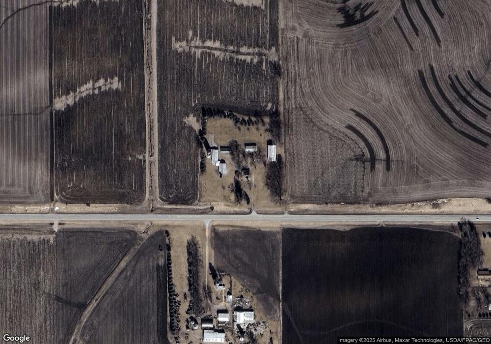
Map
Nearby Homes
- 105 10th St NW
- 5 6th Ave SE
- 655 1st St SE
- 675 1st St SE
- 370 7th St SW
- 135 5th Ave NW
- 53022 253rd Ave
- 210 8th Ave NW
- 80 Rolling Hills Dr
- 35 Ashley Ln
- 115 Rolling Hills Dr
- 100 Rolling Hills Dr
- 90 Rolling Hills Dr
- 110 Rolling Hills Dr
- 85 Rolling Hills Dr
- 105 Rolling Hills Dr
- 45 Rolling Hills Dr
- TBD Industrial Dr SE
- 35 3rd St SE
- 115 3rd St SE
- 28085 Highway 247
- 27767 Highway 247
- 54081 275th Ave
- 27456 539th St
- 27418 539th St
- 27425 539th St
- 28662 Highway 247
- 53611 275th Ave
- 27338 Highway 247
- 27365 Highway 247
- 27365 Highway 247
- 27365 Highway 247
- 27365 Highway 247
- 27365 Highway 247
- 54506 275th Ave
- 28843 Highway 247
- 53295 282nd Ave
- 53386 275th Ave
- 53386 275th Ave
- 54815 275th Ave
Your Personal Tour Guide
Ask me questions while you tour the home.