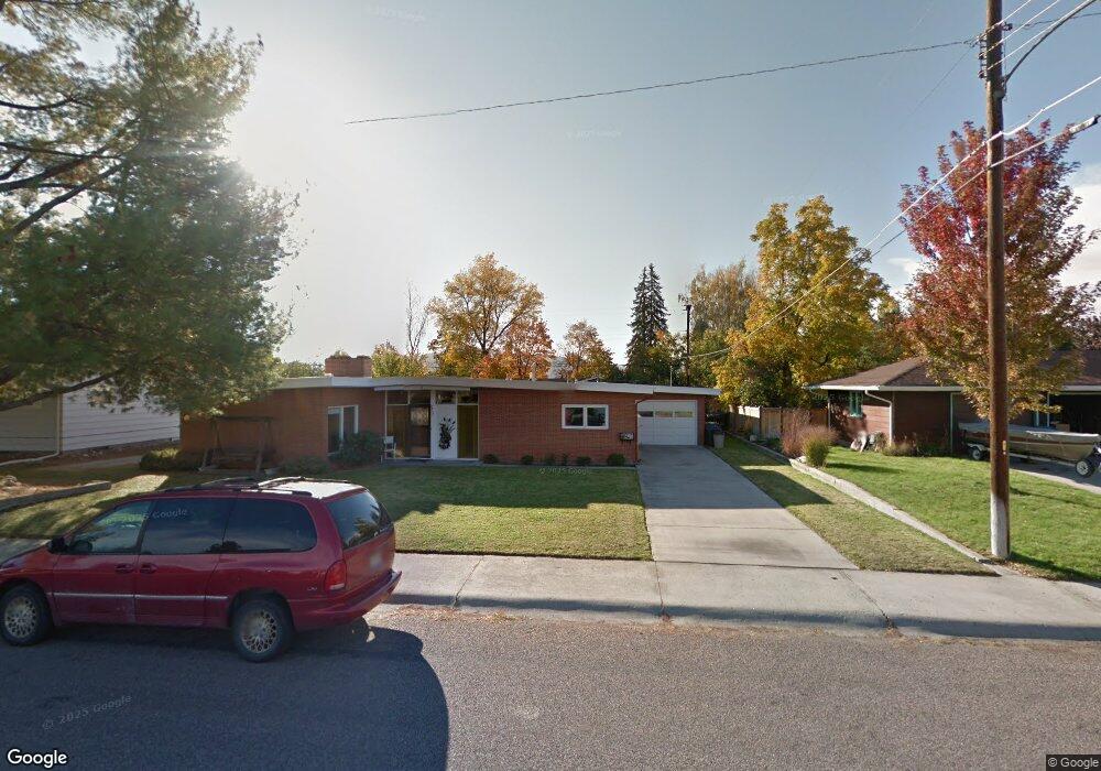
2805 Queen St Missoula, MT 59801
Lewis and Clark NeighborhoodEstimated Value: $563,000 - $578,285
2
Beds
1
Bath
3,440
Sq Ft
$167/Sq Ft
Est. Value
About This Home
This home is located at 2805 Queen St, Missoula, MT 59801 and is currently estimated at $572,762, approximately $166 per square foot. 2805 Queen St is a home located in Missoula County with nearby schools including Lewis & Clark School, Washington Middle School, and Sentinel High School.
Ownership History
Date
Name
Owned For
Owner Type
Purchase Details
Closed on
Jul 1, 2011
Sold by
Wood Gary L
Bought by
Sweet Michael D and Sweet Susan Guthrie
Current Estimated Value
Home Financials for this Owner
Home Financials are based on the most recent Mortgage that was taken out on this home.
Original Mortgage
$199,500
Outstanding Balance
$14,905
Interest Rate
4.45%
Mortgage Type
New Conventional
Estimated Equity
$557,857
Purchase Details
Closed on
May 15, 2000
Sold by
Wood Doris W
Bought by
Wood Doris W and Doris W Wood Trust
Create a Home Valuation Report for This Property
The Home Valuation Report is an in-depth analysis detailing your home's value as well as a comparison with similar homes in the area
Home Values in the Area
Average Home Value in this Area
Purchase History
| Date | Buyer | Sale Price | Title Company |
|---|---|---|---|
| Sweet Michael D | -- | Mt | |
| Wood Doris W | -- | -- |
Source: Public Records
Mortgage History
| Date | Status | Borrower | Loan Amount |
|---|---|---|---|
| Open | Sweet Michael D | $199,500 |
Source: Public Records
Tax History Compared to Growth
Tax History
| Year | Tax Paid | Tax Assessment Tax Assessment Total Assessment is a certain percentage of the fair market value that is determined by local assessors to be the total taxable value of land and additions on the property. | Land | Improvement |
|---|---|---|---|---|
| 2025 | $5,351 | $658,000 | $364,998 | $293,002 |
| 2024 | $5,077 | $417,200 | $160,724 | $256,476 |
| 2023 | $4,952 | $417,200 | $160,724 | $256,476 |
| 2022 | $4,415 | $322,200 | $0 | $0 |
| 2021 | $3,914 | $322,200 | $0 | $0 |
| 2020 | $3,793 | $285,300 | $0 | $0 |
| 2019 | $3,781 | $285,300 | $0 | $0 |
| 2018 | $3,520 | $258,000 | $0 | $0 |
| 2017 | $3,460 | $258,000 | $0 | $0 |
| 2016 | $3,208 | $249,600 | $0 | $0 |
| 2015 | $2,969 | $249,600 | $0 | $0 |
| 2014 | $2,984 | $141,298 | $0 | $0 |
Source: Public Records
Map
Nearby Homes
- 3008 Park St
- 3208 Queen St
- 301 Livingston Ave
- 217 Benton Ave
- 217 Dixon Ave
- 2711 S Higgins Ave
- 629 North Ave W
- Lot 26a South Ave W
- 200 Northview Dr
- 116 South Ave E
- 101 E Central Ave
- 109 E Central Ave
- 100 Pattee Canyon Dr
- 806 Crestmont Way Unit A
- 470 Strand Ave
- 802 Normans Ln
- 110 Hillcrest Loop
- 1220 North Ave W
- 455 Mount Ave
- 3 Rosebud Ln
- 2809 Queen St
- 2801 Queen St
- 605 Benton Ave
- 2804 Bancroft St
- 2808 Bancroft St
- 2813 Queen St
- 2804 Queen St
- 2800 Bancroft St
- 2800 Queen St
- 2808 Queen St
- 2812 Bancroft St
- 2812 Queen St
- 2817 Queen St
- 507 Benton Ave
- 2820 Camas Ct
- 2900 Bancroft St
- 628 Benton Ave
- 2821 Queen St
- 2726 Bancroft St
- 2727 Queen St