2806 Lenox Ln Durham, NC 27703
Estimated Value: $385,000 - $437,000
4
Beds
3
Baths
2,109
Sq Ft
$198/Sq Ft
Est. Value
About This Home
This home is located at 2806 Lenox Ln, Durham, NC 27703 and is currently estimated at $416,906, approximately $197 per square foot. 2806 Lenox Ln is a home located in Durham County with nearby schools including Bethesda Elementary School, John W Neal Middle School, and Southern School of Energy & Sustainability.
Ownership History
Date
Name
Owned For
Owner Type
Purchase Details
Closed on
Nov 6, 2014
Sold by
Murphy Latonya
Bought by
Crowley Danielle Louise
Current Estimated Value
Home Financials for this Owner
Home Financials are based on the most recent Mortgage that was taken out on this home.
Original Mortgage
$172,900
Outstanding Balance
$133,706
Interest Rate
4.26%
Mortgage Type
New Conventional
Estimated Equity
$283,200
Purchase Details
Closed on
Oct 27, 2005
Sold by
Centex Homes
Bought by
Murphy Latonya
Home Financials for this Owner
Home Financials are based on the most recent Mortgage that was taken out on this home.
Original Mortgage
$132,200
Interest Rate
7.4%
Mortgage Type
Fannie Mae Freddie Mac
Create a Home Valuation Report for This Property
The Home Valuation Report is an in-depth analysis detailing your home's value as well as a comparison with similar homes in the area
Home Values in the Area
Average Home Value in this Area
Purchase History
| Date | Buyer | Sale Price | Title Company |
|---|---|---|---|
| Crowley Danielle Louise | $182,000 | None Available | |
| Murphy Latonya | $165,500 | -- |
Source: Public Records
Mortgage History
| Date | Status | Borrower | Loan Amount |
|---|---|---|---|
| Open | Crowley Danielle Louise | $172,900 | |
| Previous Owner | Murphy Latonya | $132,200 | |
| Previous Owner | Murphy Latonya | $33,050 |
Source: Public Records
Tax History Compared to Growth
Tax History
| Year | Tax Paid | Tax Assessment Tax Assessment Total Assessment is a certain percentage of the fair market value that is determined by local assessors to be the total taxable value of land and additions on the property. | Land | Improvement |
|---|---|---|---|---|
| 2025 | $3,106 | $414,157 | $99,750 | $314,407 |
| 2024 | $3,106 | $222,641 | $42,787 | $179,854 |
| 2023 | $2,916 | $222,641 | $42,787 | $179,854 |
| 2022 | $2,850 | $222,641 | $42,787 | $179,854 |
| 2021 | $2,836 | $222,641 | $42,787 | $179,854 |
| 2020 | $2,769 | $222,641 | $42,787 | $179,854 |
| 2019 | $2,769 | $222,641 | $42,787 | $179,854 |
| 2018 | $2,477 | $182,581 | $34,230 | $148,351 |
| 2017 | $2,458 | $182,581 | $34,230 | $148,351 |
| 2016 | $2,376 | $182,581 | $34,230 | $148,351 |
| 2015 | $2,511 | $181,369 | $36,725 | $144,644 |
| 2014 | $2,511 | $181,369 | $36,725 | $144,644 |
Source: Public Records
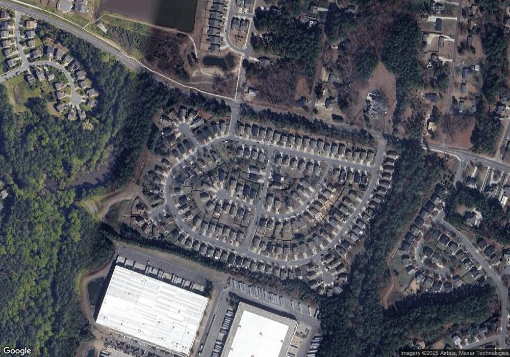
Map
Nearby Homes
- 2811 Skybrook Ln
- 2701 Skybrook Ln
- 2709 Hamilton Green Dr
- 2013 Cedar Grove Dr
- 2228 Cedar Grove Dr
- 3019 Newfields Place
- 5014 Rolling Meadows Dr
- 1107 Tigerlily Way
- 2214 Tw Alexander Dr
- 2905 Scuppernong Ln
- 3610 Long Ridge Rd
- 3602 Appling Way
- 1018 Flyfish Ave
- 111 Lang St
- 2409 Rolling Pines Ave
- 2512 Rolling Pines Ave
- 910 Wood Chapel Ln
- 4539 Cottendale Dr
- 342 Westgrove Ct
- 2217 S Miami Blvd
- 2804 Lenox Ln
- 2506 Lenox Ln
- 4711 Rockport Dr
- 4709 Rockport Dr
- 4707 Rockport Dr
- 3306 Skybrook Ln
- 3308 Skybrook Ln
- 3304 Skybrook Ln
- 3302 Skybrook Ln
- 4801 Rockport Dr
- 4705 Rockport Dr
- 2807 Lenox Ln
- 3402 Skybrook Ln
- 2805 Lenox Ln
- 3404 Skybrook Ln
- 4805 Rockport Dr
- 4703 Rockport Dr
- 4710 Rockport Dr
- 3204 Skybrook Ln
- 4708 Rockport Dr