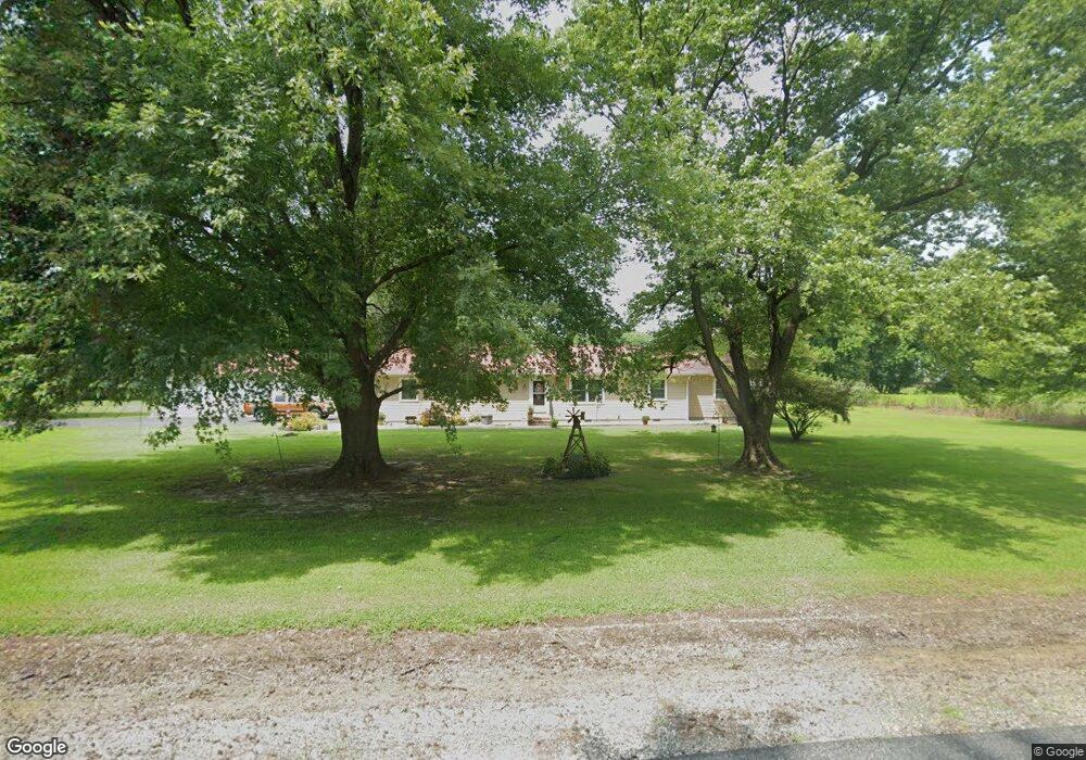
28079 Buck Ln Laurel, DE 19956
Estimated Value: $288,000 - $342,000
3
Beds
--
Bath
1,915
Sq Ft
$165/Sq Ft
Est. Value
About This Home
This home is located at 28079 Buck Ln, Laurel, DE 19956 and is currently estimated at $316,503, approximately $165 per square foot. 28079 Buck Ln is a home located in Sussex County with nearby schools including North Laurel Elementary School, Laurel Elementary School, and Laurel Intermediate Middle School.
Ownership History
Date
Name
Owned For
Owner Type
Purchase Details
Closed on
Apr 20, 2018
Sold by
Messick Donna M
Bought by
Brown David C
Current Estimated Value
Home Financials for this Owner
Home Financials are based on the most recent Mortgage that was taken out on this home.
Original Mortgage
$169,750
Outstanding Balance
$146,016
Interest Rate
4.45%
Mortgage Type
Unknown
Estimated Equity
$170,487
Purchase Details
Closed on
Oct 30, 2000
Bought by
Messick Donna M
Create a Home Valuation Report for This Property
The Home Valuation Report is an in-depth analysis detailing your home's value as well as a comparison with similar homes in the area
Home Values in the Area
Average Home Value in this Area
Purchase History
| Date | Buyer | Sale Price | Title Company |
|---|---|---|---|
| Brown David C | $175,000 | -- | |
| Messick Donna M | $75,000 | -- |
Source: Public Records
Mortgage History
| Date | Status | Borrower | Loan Amount |
|---|---|---|---|
| Open | Brown David C | $169,750 |
Source: Public Records
Tax History
| Year | Tax Paid | Tax Assessment Tax Assessment Total Assessment is a certain percentage of the fair market value that is determined by local assessors to be the total taxable value of land and additions on the property. | Land | Improvement |
|---|---|---|---|---|
| 2025 | $1,060 | $12,850 | $1,100 | $11,750 |
| 2024 | $661 | $12,850 | $1,100 | $11,750 |
| 2023 | $652 | $12,850 | $1,100 | $11,750 |
| 2022 | $633 | $12,850 | $1,100 | $11,750 |
| 2021 | $674 | $12,850 | $1,100 | $11,750 |
| 2020 | $648 | $12,850 | $1,100 | $11,750 |
| 2019 | $644 | $12,850 | $1,100 | $11,750 |
| 2018 | $647 | $12,850 | $0 | $0 |
| 2017 | $647 | $12,850 | $0 | $0 |
| 2016 | $646 | $12,850 | $0 | $0 |
| 2015 | $674 | $12,850 | $0 | $0 |
| 2014 | $573 | $12,850 | $0 | $0 |
Source: Public Records
Map
Nearby Homes
- 12319 County Seat Hwy
- 27002 Kaye Rd
- 28495 Fire Tower Rd
- 225 Stoney Branch Rd Unit 225SBR
- 12468 Taylor Mill Rd
- 71 Hitch Pond Cir
- 269 Cool Branch Blvd Unit 47146
- 27401 Dillards Rd
- 50 Hitch Pond Cir Unit 50HPC
- 460 Long Branch Rd Unit 45819
- 44 Hitch Pond Cir
- 444 Long Branch Rd
- Lot A Dillards Rd
- Lot B Dillards Rd
- 376 Graham Branch Rd
- 26300 Fire Tower Rd
- 407 Long Branch Rd
- 408 Long Branch Rd Unit 408LBR
- 843 Rum Bridge Branch Rd
- 30077 Fire Tower Rd
- 28051 Buck Ln
- 12082 Mirey Branch Rd
- 12024 Mirey Branch Rd
- 12405 Mirey Branch Rd
- 12010 Mirey Branch Rd
- 12434 Mirey Branch Rd
- 12461 Mirey Branch Rd
- 12471 Mirey Branch Rd
- 12466 Mirey Branch Rd
- 28374 W Farm Dr
- 12957 Starks Dr
- 12475 County Seat Hwy
- 12529 Mirey Branch Rd
- 12045 Mirey Branch Rd
- 12449 County Seat Hwy
- 12493 County Seat Hwy
- 12417 County Seat Hwy
- 12409 County Seat Hwy
- 27005 Fire Tower Rd
- 12387 County Seat Hwy
Your Personal Tour Guide
Ask me questions while you tour the home.