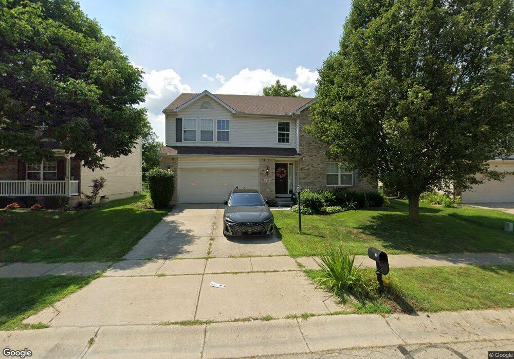
281 Laurel Glen Dr Springboro, OH 45066
Clearcreek Township NeighborhoodEstimated Value: $434,000 - $502,000
5
Beds
3
Baths
3,315
Sq Ft
$141/Sq Ft
Est. Value
About This Home
This home is located at 281 Laurel Glen Dr, Springboro, OH 45066 and is currently estimated at $467,356, approximately $140 per square foot. 281 Laurel Glen Dr is a home located in Warren County with nearby schools including Clearcreek Elementary School, Springboro Intermediate School, and Springboro Junior High School.
Ownership History
Date
Name
Owned For
Owner Type
Purchase Details
Closed on
Jun 20, 2012
Sold by
Swerlyk Michael S and Swerlyk Pamela F
Bought by
Wueliner Michael A
Current Estimated Value
Home Financials for this Owner
Home Financials are based on the most recent Mortgage that was taken out on this home.
Original Mortgage
$164,465
Outstanding Balance
$113,551
Interest Rate
3.75%
Mortgage Type
FHA
Estimated Equity
$353,805
Purchase Details
Closed on
Sep 14, 2004
Sold by
Crossmann Communities Of Ohio Inc
Bought by
Swerlyk Michael S and Swerlyk Pamela F
Home Financials for this Owner
Home Financials are based on the most recent Mortgage that was taken out on this home.
Original Mortgage
$185,100
Interest Rate
5.89%
Mortgage Type
Purchase Money Mortgage
Create a Home Valuation Report for This Property
The Home Valuation Report is an in-depth analysis detailing your home's value as well as a comparison with similar homes in the area
Home Values in the Area
Average Home Value in this Area
Purchase History
| Date | Buyer | Sale Price | Title Company |
|---|---|---|---|
| Wueliner Michael A | $167,500 | Sterling Land Title Agency I | |
| Swerlyk Michael S | $223,400 | -- |
Source: Public Records
Mortgage History
| Date | Status | Borrower | Loan Amount |
|---|---|---|---|
| Open | Wueliner Michael A | $164,465 | |
| Previous Owner | Swerlyk Michael S | $185,100 | |
| Closed | Swerlyk Michael S | $34,700 |
Source: Public Records
Tax History Compared to Growth
Tax History
| Year | Tax Paid | Tax Assessment Tax Assessment Total Assessment is a certain percentage of the fair market value that is determined by local assessors to be the total taxable value of land and additions on the property. | Land | Improvement |
|---|---|---|---|---|
| 2024 | $4,992 | $127,840 | $26,250 | $101,590 |
| 2023 | $4,394 | $103,187 | $17,220 | $85,967 |
| 2022 | $4,329 | $103,187 | $17,220 | $85,967 |
| 2021 | $4,029 | $103,187 | $17,220 | $85,967 |
| 2020 | $3,747 | $83,892 | $14,000 | $69,892 |
| 2019 | $3,455 | $83,892 | $14,000 | $69,892 |
| 2018 | $3,457 | $83,892 | $14,000 | $69,892 |
| 2017 | $3,292 | $71,964 | $12,712 | $59,252 |
| 2016 | $3,434 | $71,964 | $12,712 | $59,252 |
| 2015 | $3,441 | $71,964 | $12,712 | $59,252 |
| 2014 | -- | $65,420 | $11,560 | $53,870 |
| 2013 | $3,300 | $79,240 | $14,000 | $65,240 |
Source: Public Records
Map
Nearby Homes
- 1557 Ashbury Woods Dr
- 88 N Glen Oak Dr
- 320 Springmill Dr
- 25 Sandelwood St
- 640 Springmill Dr
- 10679 Chestnut Hill Ln
- 44 Old Pond Rd
- 165 Waterhaven Way
- 6 Waterlily Dr
- 108 Old Pond Rd
- 117 Old Pond Rd
- 111 Rippling Brook Ln
- 146 Rippling Brook Ln
- 123 Rippling Brook Ln
- 160 Old Pond Rd
- 135 Rippling Brook Ln
- 180 Old Pond Rd
- 1672 Rockleigh Rd
- 65 Artesian Ct
- 1524 Dell Glen Rd
- 273 Laurel Glen Dr
- 289 Laurel Glen Dr
- 265 Laurel Glen Dr
- 297 Laurel Glen Dr
- 284 Laurel Glen Dr
- 288 Laurel Glen Dr
- 305 Laurel Glen Dr
- 280 Laurel Glen Dr
- 257 Laurel Glen Dr
- 292 Laurel Glen Dr
- 276 Laurel Glen Dr
- 313 Laurel Glen Dr
- 272 Laurel Glen Dr
- 245 Laurel Glen Dr
- 308 Laurel Glen Dr
- 127 Sandelwood St
- 129 Sandelwood St
- 241 Laurel Glen Dr
- 321 Laurel Glen Dr
- 97 Coldwater Ln