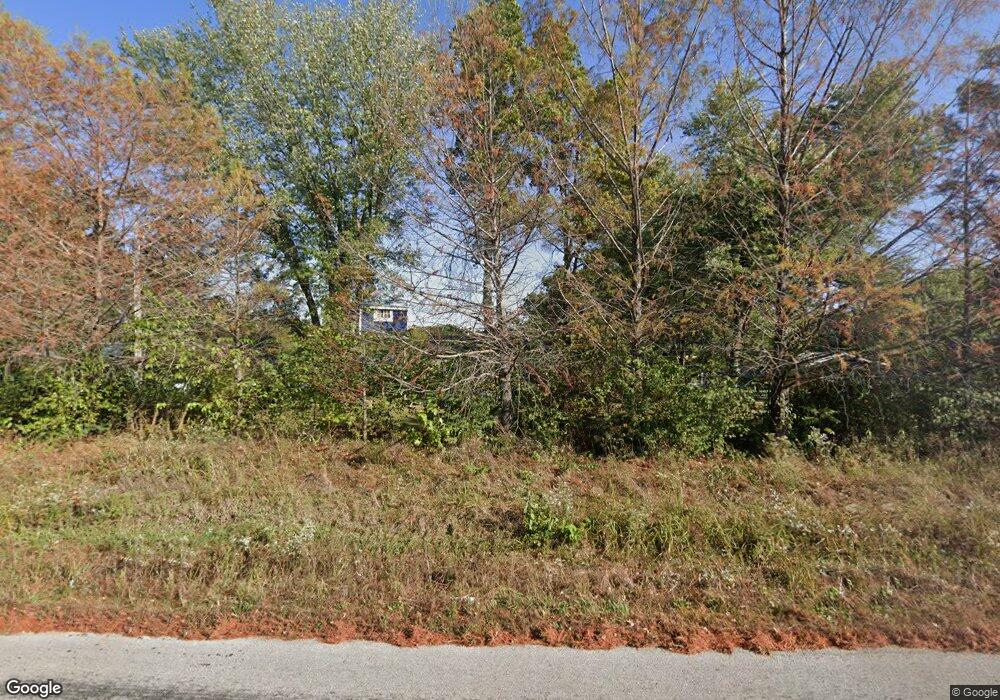
281 NW Division Rd Centerview, MO 64019
Estimated Value: $144,750 - $375,000
Studio
--
Bath
1,797
Sq Ft
$143/Sq Ft
Est. Value
About This Home
This home is located at 281 NW Division Rd, Centerview, MO 64019 and is currently estimated at $257,250, approximately $143 per square foot. 281 NW Division Rd is a home located in Johnson County with nearby schools including Crest Ridge Elementary School and Crest Ridge High School.
Ownership History
Date
Name
Owned For
Owner Type
Purchase Details
Closed on
Oct 29, 2020
Sold by
Mcbay Marvin A and Mcbay Connie L
Bought by
Atkison Gary T and Atkison Tabithia N
Current Estimated Value
Home Financials for this Owner
Home Financials are based on the most recent Mortgage that was taken out on this home.
Original Mortgage
$134,345
Outstanding Balance
$119,001
Interest Rate
2.8%
Mortgage Type
New Conventional
Estimated Equity
$138,249
Purchase Details
Closed on
May 1, 2012
Sold by
Mcbay Marvin A and Mcbay Connie L
Bought by
Mcbay Marvin A and Mcbay Connie L
Create a Home Valuation Report for This Property
The Home Valuation Report is an in-depth analysis detailing your home's value as well as a comparison with similar homes in the area
Purchase History
| Date | Buyer | Sale Price | Title Company |
|---|---|---|---|
| Atkison Gary T | -- | Coffelt Land Title Inc | |
| Mcbay Marvin A | -- | None Available |
Source: Public Records
Mortgage History
| Date | Status | Borrower | Loan Amount |
|---|---|---|---|
| Open | Atkison Gary T | $134,345 |
Source: Public Records
Tax History
| Year | Tax Paid | Tax Assessment Tax Assessment Total Assessment is a certain percentage of the fair market value that is determined by local assessors to be the total taxable value of land and additions on the property. | Land | Improvement |
|---|---|---|---|---|
| 2024 | $717 | $9,839 | $0 | $0 |
| 2023 | $671 | $9,839 | $0 | $0 |
| 2022 | $648 | $9,442 | $0 | $0 |
| 2021 | $644 | $9,442 | $0 | $0 |
| 2020 | $621 | $9,045 | $0 | $0 |
| 2019 | $611 | $9,045 | $0 | $0 |
| 2017 | $587 | $9,049 | $0 | $0 |
| 2016 | $644 | $9,932 | $0 | $0 |
| 2015 | $639 | $9,932 | $0 | $0 |
| 2014 | $638 | $9,924 | $0 | $0 |
Source: Public Records
Map
Nearby Homes
- 73 NW 291st Rd
- 64 SW 401st Rd
- 120 NW 191 Rd
- 125 NW 171 Rd
- 123 NW 171 Rd
- 0 Tbd Lot 2 491st Rd
- 733 Burlington Rd
- TBD Lot 7 491st Rd
- 103 SW 95th Rd
- 720 Burlington Rd
- TBD NW 361st Rd
- 704 Mahogany Ct
- 705 Mahogany Ct
- 707 Mahogany Ct
- 101 Hidden Pines Ln
- 708 Burlington Rd
- 114 Deerfield Dr
- 109 Deerfield Dr
- 629 Oakmont Dr
- 604 Darrow St
- 289 NW Division Rd
- 298 SW Division Rd
- 273 NW Division Rd
- 295 NW Division Rd
- 313 NW Division Rd
- 3 SW 301st Rd
- 274 SW Division Rd
- 288 SW Division Rd
- 310 SW Division Rd
- 260 SW Division Rd
- 248 SW Division Rd
- 12 SW 301st Rd
- 244 SW Division Rd
- 251 NW Division Rd
- 26 NW 281st Rd
- 315 NW Division Rd
- 28 SW 301st Rd
- 45 SW 301st Rd
- 29 NW 281st Rd
- 247 NW Division Rd
