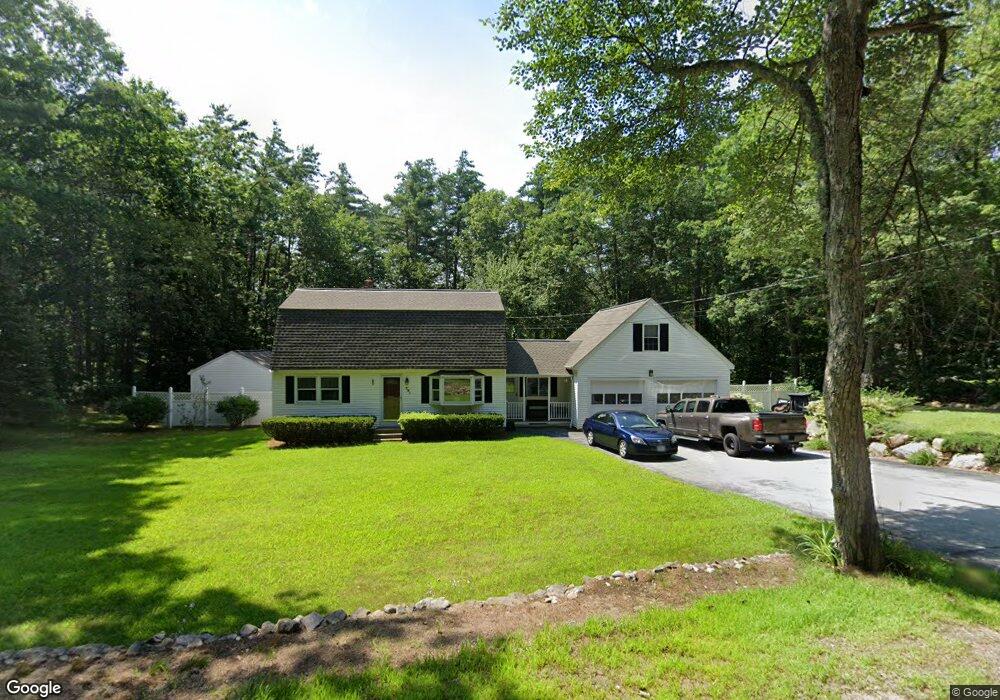
281 Rattlesnake Hill Rd Auburn, NH 03032
Estimated Value: $574,808 - $660,000
3
Beds
2
Baths
2,305
Sq Ft
$266/Sq Ft
Est. Value
About This Home
This home is located at 281 Rattlesnake Hill Rd, Auburn, NH 03032 and is currently estimated at $613,202, approximately $266 per square foot. 281 Rattlesnake Hill Rd is a home located in Rockingham County with nearby schools including Auburn Village School and Pinkerton Academy.
Ownership History
Date
Name
Owned For
Owner Type
Purchase Details
Closed on
Sep 15, 2017
Sold by
Thomas Clifford A and Becker-Thomas Laura L
Bought by
Thomas Ft
Current Estimated Value
Purchase Details
Closed on
Mar 11, 2003
Sold by
Stohrer John P and Stohrer Pamela W
Bought by
Thomas Clifford A and Thomas Laura L B
Home Financials for this Owner
Home Financials are based on the most recent Mortgage that was taken out on this home.
Original Mortgage
$100,000
Interest Rate
5.95%
Create a Home Valuation Report for This Property
The Home Valuation Report is an in-depth analysis detailing your home's value as well as a comparison with similar homes in the area
Home Values in the Area
Average Home Value in this Area
Purchase History
| Date | Buyer | Sale Price | Title Company |
|---|---|---|---|
| Thomas Ft | -- | -- | |
| Thomas Clifford A | $230,000 | -- |
Source: Public Records
Mortgage History
| Date | Status | Borrower | Loan Amount |
|---|---|---|---|
| Previous Owner | Thomas Clifford A | $85,493 | |
| Previous Owner | Thomas Clifford A | $100,000 | |
| Previous Owner | Thomas Clifford A | $100,000 |
Source: Public Records
Tax History Compared to Growth
Tax History
| Year | Tax Paid | Tax Assessment Tax Assessment Total Assessment is a certain percentage of the fair market value that is determined by local assessors to be the total taxable value of land and additions on the property. | Land | Improvement |
|---|---|---|---|---|
| 2024 | $6,394 | $474,700 | $190,000 | $284,700 |
| 2023 | $5,986 | $474,700 | $190,000 | $284,700 |
| 2022 | $5,807 | $325,300 | $162,800 | $162,500 |
| 2021 | $5,785 | $318,900 | $162,800 | $156,100 |
| 2020 | $5,893 | $318,900 | $162,800 | $156,100 |
| 2019 | $5,999 | $318,900 | $162,800 | $156,100 |
| 2018 | $5,440 | $318,900 | $162,800 | $156,100 |
| 2017 | $6,136 | $266,800 | $155,700 | $111,100 |
| 2016 | $5,403 | $266,800 | $155,700 | $111,100 |
| 2015 | $5,525 | $266,800 | $155,700 | $111,100 |
| 2014 | $5,686 | $266,800 | $155,700 | $111,100 |
| 2013 | $5,227 | $266,800 | $155,700 | $111,100 |
Source: Public Records
Map
Nearby Homes
- 40 Pinyon Place
- 45 Peach Tree Rd
- 55 Norwich Place
- 34 Conifer Place
- 628 Megan Dr
- 612 Megan Dr
- 59 Hawthorne Dr
- 193 Morning Glory Dr
- 1991 Bodwell Rd Unit 30
- 22 Eastmeadow Way
- #1 the Cliffs at Evergreen Dr
- 759 Cohas Ave
- 30 Bryant Rd
- 12 Forest Hill Way Unit 57
- 90 Forest Hill Way Unit 52
- 54 Daniel Rd
- 50 Daniel Rd
- 52 Daniel Rd
- 593 Cohas Ave
- 8 Ledgewood Dr
- 291 Rattlesnake Hill Rd
- 275 Rattlesnake Hill Rd
- 298 Rattlesnake Hill Rd
- 8 Matthew Dr
- 295 Rattlesnake Hill Rd
- 9 Matthew Dr
- 267 Rattlesnake Hill Rd
- 299 Rattlesnake Hill Rd
- 28 Matthew Dr
- 248 Rattlesnake Hill Rd
- 65 Nutt Rd
- 48 Matthew Dr
- 314 Rattlesnake Hill Rd
- 311 Rattlesnake Hill Rd
- 26 Cameo Ct
- 34 Matthew Dr
- 59 Nutt Rd
- 236 Rattlesnake Hill Rd
- 12 Cameo Ct
- 64 Nutt Rd