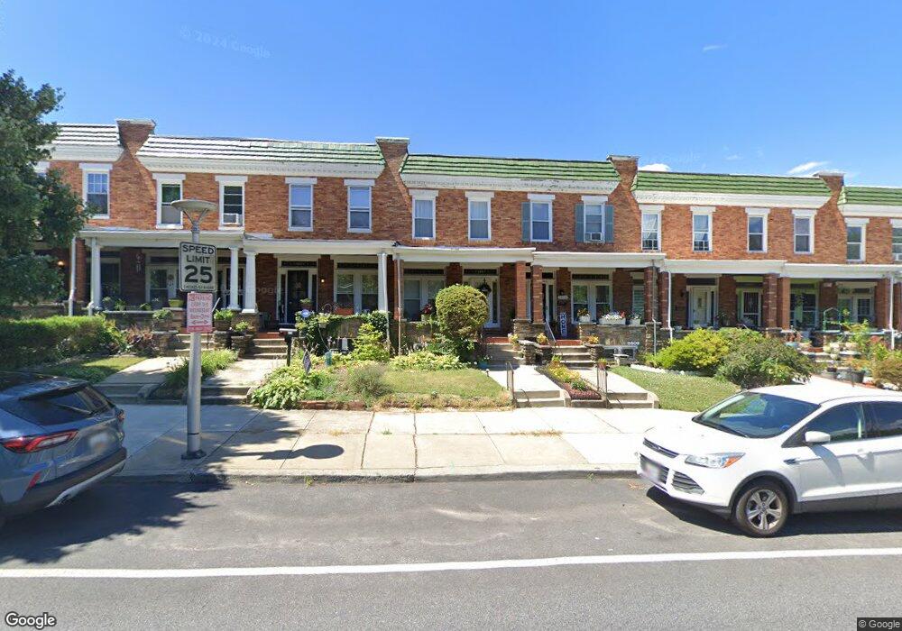
2811 Chesterfield Ave Baltimore, MD 21213
Herring Run Park NeighborhoodEstimated Value: $195,278 - $214,000
--
Bed
1
Bath
1,512
Sq Ft
$135/Sq Ft
Est. Value
About This Home
This home is located at 2811 Chesterfield Ave, Baltimore, MD 21213 and is currently estimated at $204,639, approximately $135 per square foot. 2811 Chesterfield Ave is a home located in Baltimore City with nearby schools including Booker T. Washington Middle School, Paul Laurence Dunbar High School, and Patterson High School.
Ownership History
Date
Name
Owned For
Owner Type
Purchase Details
Closed on
Feb 24, 2023
Sold by
Baker Charlette Lynn and Baker Landy
Bought by
2811 Chesterfield Ave Trust and Baker
Current Estimated Value
Purchase Details
Closed on
Jul 31, 2007
Sold by
Baker Charlette L
Bought by
Baker Landy and Baker Charlette Lynn
Purchase Details
Closed on
Apr 1, 1997
Sold by
Forrester William A
Bought by
Davis Charlette L
Create a Home Valuation Report for This Property
The Home Valuation Report is an in-depth analysis detailing your home's value as well as a comparison with similar homes in the area
Home Values in the Area
Average Home Value in this Area
Purchase History
| Date | Buyer | Sale Price | Title Company |
|---|---|---|---|
| 2811 Chesterfield Ave Trust | -- | None Listed On Document | |
| Baker Landy | -- | -- | |
| Davis Charlette L | $69,900 | -- |
Source: Public Records
Tax History Compared to Growth
Tax History
| Year | Tax Paid | Tax Assessment Tax Assessment Total Assessment is a certain percentage of the fair market value that is determined by local assessors to be the total taxable value of land and additions on the property. | Land | Improvement |
|---|---|---|---|---|
| 2025 | $2,708 | $126,467 | -- | -- |
| 2024 | $2,708 | $115,300 | $37,000 | $78,300 |
| 2023 | $2,667 | $113,567 | $0 | $0 |
| 2022 | $2,639 | $111,833 | $0 | $0 |
| 2021 | $2,598 | $110,100 | $37,000 | $73,100 |
| 2020 | $2,594 | $109,900 | $0 | $0 |
| 2019 | $2,577 | $109,700 | $0 | $0 |
| 2018 | $2,584 | $109,500 | $37,000 | $72,500 |
| 2017 | $2,583 | $109,433 | $0 | $0 |
| 2016 | -- | $109,367 | $0 | $0 |
| 2015 | -- | $109,300 | $0 | $0 |
| 2014 | -- | $109,300 | $0 | $0 |
Source: Public Records
Map
Nearby Homes
- 2828 Pelham Ave
- 2864 Kentucky Ave
- 2891 Pelham Ave
- 3003 Kentucky Ave
- 3011 Kenyon Ave
- 3444 Belair Rd
- 3009 Kentucky Ave
- 3438 Belair Rd
- 3028 Chesterfield Ave
- 2846 Lake Ave
- 3026 Kenyon Ave
- 3114 Pelham Ave
- 2623 Kentucky Ave
- 2823 Lake Ave
- 3100 Kenyon Ave
- 3427 Woodstock Ave
- 3401 Teresa Ct
- 2839 Mayfield Ave
- 3126 Kenyon Ave
- 2867 Mayfield Ave
- 2809 Chesterfield Ave
- 2813 Chesterfield Ave
- 2807 Chesterfield Ave
- 2815 Chesterfield Ave
- 2805 Chesterfield Ave
- 2817 Chesterfield Ave
- 2803 Chesterfield Ave
- 2819 Chesterfield Ave
- 2821 Chesterfield Ave
- 2801 Chesterfield Ave
- 2823 Chesterfield Ave
- 2825 Chesterfield Ave
- 2827 Chesterfield Ave
- 2810 Pelham Ave
- 2808 Pelham Ave
- 2812 Pelham Ave
- 2806 Pelham Ave
- 2814 Pelham Ave
- 2816 Pelham Ave
- 2804 Pelham Ave