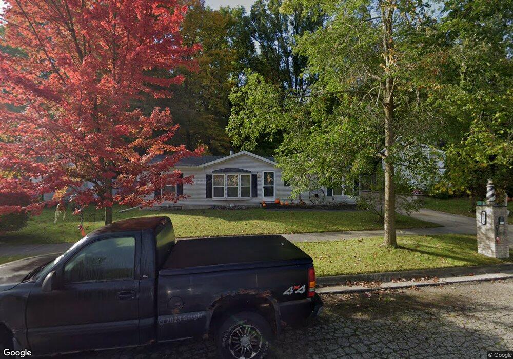
2811 W Winsford St Lansing, MI 48911
Southern Lansing NeighborhoodEstimated Value: $163,000 - $170,428
3
Beds
2
Baths
1,248
Sq Ft
$134/Sq Ft
Est. Value
About This Home
This home is located at 2811 W Winsford St, Lansing, MI 48911 and is currently estimated at $167,107, approximately $133 per square foot. 2811 W Winsford St is a home located in Ingham County with nearby schools including Reo Elementary School, Attwood School, and Everett High School.
Ownership History
Date
Name
Owned For
Owner Type
Purchase Details
Closed on
May 22, 2001
Sold by
Warner Brett
Bought by
Kelly Kendrick G and Kelley Sandra
Current Estimated Value
Home Financials for this Owner
Home Financials are based on the most recent Mortgage that was taken out on this home.
Original Mortgage
$72,000
Interest Rate
7.18%
Mortgage Type
Construction
Create a Home Valuation Report for This Property
The Home Valuation Report is an in-depth analysis detailing your home's value as well as a comparison with similar homes in the area
Home Values in the Area
Average Home Value in this Area
Purchase History
| Date | Buyer | Sale Price | Title Company |
|---|---|---|---|
| Kelly Kendrick G | $12,000 | Metropolitan Title Company |
Source: Public Records
Mortgage History
| Date | Status | Borrower | Loan Amount |
|---|---|---|---|
| Closed | Kelly Kendrick G | $72,000 |
Source: Public Records
Tax History Compared to Growth
Tax History
| Year | Tax Paid | Tax Assessment Tax Assessment Total Assessment is a certain percentage of the fair market value that is determined by local assessors to be the total taxable value of land and additions on the property. | Land | Improvement |
|---|---|---|---|---|
| 2025 | $2,392 | $81,700 | $10,500 | $71,200 |
| 2024 | $19 | $66,500 | $10,500 | $56,000 |
| 2023 | $2,244 | $63,600 | $10,500 | $53,100 |
| 2022 | $2,025 | $48,900 | $8,700 | $40,200 |
| 2021 | $1,983 | $40,300 | $7,500 | $32,800 |
| 2020 | $1,971 | $40,300 | $7,500 | $32,800 |
| 2019 | $1,888 | $38,300 | $7,500 | $30,800 |
| 2018 | $1,771 | $30,600 | $7,500 | $23,100 |
| 2017 | $1,695 | $30,600 | $7,500 | $23,100 |
| 2016 | $1,629 | $30,200 | $7,500 | $22,700 |
| 2015 | $1,629 | $28,800 | $15,017 | $13,783 |
| 2014 | $1,629 | $28,500 | $21,453 | $7,047 |
Source: Public Records
Map
Nearby Homes
- 2416 Midwood St
- 4828 Ingham St
- 4809 Ballard Rd
- 2045 Moffitt St
- 5100 Wexford Rd
- 4628 Pleasant Grove Rd
- 0 Midwood St
- 3115 Risdale Ave
- 2923 Newark Ave
- 3600 Ronald St
- 5424 S Waverly Rd
- 5838 S Martin Luther King Junior Blvd
- 6030 Piper Ave
- 4620 Christiansen Rd
- 2816 Greenbelt Dr
- 4110 Richmond St
- 2311 Greenbelt Dr
- 4017 Richmond St
- 1729 Reo Rd
- 3814 Coachlight Common St
- 2821 W Winsford St
- 2801 W Winsford St
- 2727 W Winsford St
- 2818 W Winsford St
- 2730 W Winsford St
- 2717 W Winsford St
- 2720 W Winsford St
- 2707 W Winsford St
- 5234 Lark Cir
- 5228 Lark Cir
- 2625 W Winsford St
- 5235 Lark Cir
- 2617 W Winsford St
- 2616 W Winsford St
- 5223 Lark Cir
- 5254 Renee St
- 5248 Renee St
- 2709 Midwood St
- 5234 Renee St
- 2815 Midwood St