Estimated Value: $300,000 - $341,000
3
Beds
2
Baths
1,710
Sq Ft
$184/Sq Ft
Est. Value
About This Home
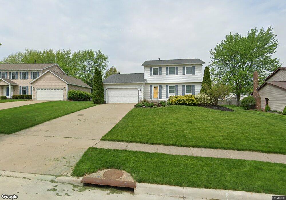
This home is located at 2811 Williamsburg Cir, Stow, OH 44224 and is currently estimated at $314,592, approximately $183 per square foot. 2811 Williamsburg Cir is a home located in Summit County with nearby schools including Stow-Munroe Falls High School and Walsh Jesuit High School.
Ownership History
Date
Name
Owned For
Owner Type
Purchase Details
Closed on
Jun 14, 2001
Sold by
Bohleen Geoffrey C and Bohleen Joni M
Bought by
Henderson David A and Henderson Dinah L
Current Estimated Value
Home Financials for this Owner
Home Financials are based on the most recent Mortgage that was taken out on this home.
Original Mortgage
$230,000
Outstanding Balance
$86,708
Interest Rate
7.16%
Estimated Equity
$227,884
Create a Home Valuation Report for This Property
The Home Valuation Report is an in-depth analysis detailing your home's value as well as a comparison with similar homes in the area
Home Values in the Area
Average Home Value in this Area
Purchase History
| Date | Buyer | Sale Price | Title Company |
|---|---|---|---|
| Henderson David A | $153,500 | Midland Commerce Group |
Source: Public Records
Mortgage History
| Date | Status | Borrower | Loan Amount |
|---|---|---|---|
| Open | Henderson David A | $230,000 | |
| Closed | Henderson David A | $15,300 |
Source: Public Records
Tax History Compared to Growth
Tax History
| Year | Tax Paid | Tax Assessment Tax Assessment Total Assessment is a certain percentage of the fair market value that is determined by local assessors to be the total taxable value of land and additions on the property. | Land | Improvement |
|---|---|---|---|---|
| 2025 | $5,034 | $89,307 | $15,684 | $73,623 |
| 2024 | $5,034 | $89,307 | $15,684 | $73,623 |
| 2023 | $5,034 | $89,307 | $15,684 | $73,623 |
| 2022 | $4,396 | $68,793 | $12,065 | $56,728 |
| 2021 | $4,396 | $68,793 | $12,065 | $56,728 |
| 2020 | $3,869 | $68,800 | $12,070 | $56,730 |
| 2019 | $3,589 | $59,600 | $11,940 | $47,660 |
| 2018 | $3,531 | $59,600 | $11,940 | $47,660 |
| 2017 | $3,241 | $59,600 | $11,940 | $47,660 |
| 2016 | $3,336 | $53,100 | $11,940 | $41,160 |
| 2015 | $3,241 | $53,100 | $11,940 | $41,160 |
| 2014 | $3,244 | $53,100 | $11,940 | $41,160 |
| 2013 | $3,289 | $54,200 | $11,940 | $42,260 |
Source: Public Records
Map
Nearby Homes
- 2714 Wexford Blvd
- 2908 Wexford Blvd
- 2831 Saybrooke Blvd
- 4444 Hickory Trail
- 4556 Fishcreek Rd
- 4445 Kenneth Trail
- 4638 Dresher Trail
- 4910 Independence Cir Unit D
- 4155 Burton Dr
- 4131 Burton Dr
- 4916 Friar Rd Unit B
- 4078 Pardee Rd
- 3788 Woodbury Oval Unit 60
- 3860 Lake Run Blvd
- 2410 Wrens Dr S
- 0 Vira Rd
- 2260 E Gilwood Dr
- 4322 Lorwood Dr
- 76 Wanda Ct
- 3801 Baird Rd
- 2805 Williamsburg Cir
- 2819 Williamsburg Cir
- 2810 Wexford Blvd
- 2800 Wexford Blvd
- 2795 Williamsburg Cir
- 2827 Williamsburg Cir
- 2818 Wexford Blvd
- 2792 Wexford Blvd
- 2816 Williamsburg Cir
- 2828 Wexford Blvd
- 2810 Williamsburg Cir
- 2782 Wexford Blvd
- 2835 Williamsburg Cir
- 2787 Williamsburg Cir
- 2822 Williamsburg Cir
- 2800 Williamsburg Cir
- 2788 Williamsburg Cir
- 2836 Wexford Blvd
- 2774 Wexford Blvd
- 2843 Williamsburg Cir