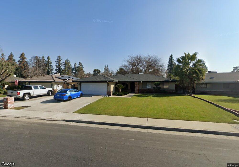
2812 Bralorne Ct Bakersfield, CA 93309
Laurelglen NeighborhoodEstimated Value: $381,488 - $410,000
3
Beds
2
Baths
1,698
Sq Ft
$235/Sq Ft
Est. Value
About This Home
This home is located at 2812 Bralorne Ct, Bakersfield, CA 93309 and is currently estimated at $399,872, approximately $235 per square foot. 2812 Bralorne Ct is a home located in Kern County with nearby schools including Laurelglen Elementary School, Tevis Junior High School, and Bakersfield High School.
Ownership History
Date
Name
Owned For
Owner Type
Purchase Details
Closed on
Aug 10, 2021
Sold by
Cantu Andrew J
Bought by
Cantu Andrew John and The Andrew John Cantu Living T
Current Estimated Value
Purchase Details
Closed on
Oct 25, 2003
Sold by
Cantu Andrew J and Ochoa Pamela S
Bought by
Cantu Andrew J and Ochoa Pamela S
Home Financials for this Owner
Home Financials are based on the most recent Mortgage that was taken out on this home.
Original Mortgage
$157,000
Outstanding Balance
$33,299
Interest Rate
6%
Mortgage Type
Purchase Money Mortgage
Estimated Equity
$366,573
Purchase Details
Closed on
Jan 12, 1994
Sold by
Phillips Richard John and Phillips Karen C
Bought by
Cantu Andrew J and Ochoa Pamela S
Home Financials for this Owner
Home Financials are based on the most recent Mortgage that was taken out on this home.
Original Mortgage
$125,042
Interest Rate
7.19%
Mortgage Type
FHA
Create a Home Valuation Report for This Property
The Home Valuation Report is an in-depth analysis detailing your home's value as well as a comparison with similar homes in the area
Home Values in the Area
Average Home Value in this Area
Purchase History
| Date | Buyer | Sale Price | Title Company |
|---|---|---|---|
| Cantu Andrew John | -- | None Available | |
| Cantu Andrew J | -- | First American Title | |
| Cantu Andrew J | $125,000 | Heritage Title Company |
Source: Public Records
Mortgage History
| Date | Status | Borrower | Loan Amount |
|---|---|---|---|
| Open | Cantu Andrew J | $157,000 | |
| Closed | Cantu Andrew J | $125,042 |
Source: Public Records
Tax History
| Year | Tax Paid | Tax Assessment Tax Assessment Total Assessment is a certain percentage of the fair market value that is determined by local assessors to be the total taxable value of land and additions on the property. | Land | Improvement |
|---|---|---|---|---|
| 2025 | $3,225 | $212,425 | $61,172 | $151,253 |
| 2024 | $3,175 | $208,261 | $59,973 | $148,288 |
| 2023 | $3,175 | $204,179 | $58,798 | $145,381 |
| 2022 | $3,048 | $200,177 | $57,646 | $142,531 |
| 2021 | $2,932 | $196,253 | $56,516 | $139,737 |
| 2020 | $2,881 | $194,242 | $55,937 | $138,305 |
| 2019 | $2,844 | $194,242 | $55,937 | $138,305 |
| 2018 | $2,719 | $186,702 | $53,766 | $132,936 |
| 2017 | $2,679 | $183,042 | $52,712 | $130,330 |
| 2016 | $2,509 | $179,454 | $51,679 | $127,775 |
| 2015 | $2,487 | $176,759 | $50,903 | $125,856 |
| 2014 | $2,427 | $173,297 | $49,906 | $123,391 |
Source: Public Records
Map
Nearby Homes
- 7321 Alamosa Ln
- 3009 Buford Way
- 2704 El Portal Dr
- 3105 Loveland Way
- 7108 Wilford Ct
- 2601 Manitou Way
- 7713 Kamloops Dr
- 7401 Hilton Head Way Unit 21
- 7001 Margaret Ct
- 3000 Victoria Way
- 2512 Moffitt Way
- 2508 Moffitt Way
- 3012 Pendleton Ct
- 2300 El Portal Dr Unit 50
- 2300 El Portal Dr Unit 63
- 2300 El Portal Dr Unit 55
- 2300 El Portal Dr Unit 69
- 2200 El Portal Dr Unit 34
- 2200 El Portal Dr Unit 9
- 7016 Seapines Dr
- 2816 Bralorne Ct
- 2808 Bralorne Ct
- 2900 Bralorne Ct
- 2804 Bralorne Ct
- 2813 Bralorne Ct
- 2809 Bralorne Ct
- 7317 Wilford Ct
- 2904 Bralorne Ct
- 2800 Bralorne Ct
- 2901 Bralorne Ct
- 2901 Buford Way
- 2805 Bralorne Ct
- 2905 Buford Way
- 2905 Bralorne Ct
- 2716 Bralorne Ct
- 7313 Wilford Ct
- 2908 Bralorne Ct
- 2801 Bralorne Ct
- 7320 Alamosa Ln
- 2812 Kootenay Ct
Your Personal Tour Guide
Ask me questions while you tour the home.