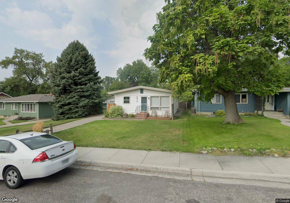
2812 Hoover Ave Billings, MT 59102
North Central Billings NeighborhoodEstimated Value: $321,000 - $359,000
3
Beds
1
Bath
1,144
Sq Ft
$298/Sq Ft
Est. Value
About This Home
This home is located at 2812 Hoover Ave, Billings, MT 59102 and is currently estimated at $340,878, approximately $297 per square foot. 2812 Hoover Ave is a home located in Yellowstone County with nearby schools including Rose Park School, Lewis & Clark Junior High School, and Billings Senior High School.
Ownership History
Date
Name
Owned For
Owner Type
Purchase Details
Closed on
Oct 12, 2011
Sold by
Kirby Laura A and Kirby Laura Ann
Bought by
Kirby Kennety S
Current Estimated Value
Purchase Details
Closed on
May 20, 2011
Sold by
Kirby Lauraa
Bought by
Kirby Kenneth S
Home Financials for this Owner
Home Financials are based on the most recent Mortgage that was taken out on this home.
Original Mortgage
$26,325
Interest Rate
3.94%
Mortgage Type
New Conventional
Create a Home Valuation Report for This Property
The Home Valuation Report is an in-depth analysis detailing your home's value as well as a comparison with similar homes in the area
Home Values in the Area
Average Home Value in this Area
Purchase History
| Date | Buyer | Sale Price | Title Company |
|---|---|---|---|
| Kirby Kennety S | -- | None Available | |
| Kirby Kenneth S | -- | None Available |
Source: Public Records
Mortgage History
| Date | Status | Borrower | Loan Amount |
|---|---|---|---|
| Closed | Kirby Kenneth S | $26,325 |
Source: Public Records
Tax History Compared to Growth
Tax History
| Year | Tax Paid | Tax Assessment Tax Assessment Total Assessment is a certain percentage of the fair market value that is determined by local assessors to be the total taxable value of land and additions on the property. | Land | Improvement |
|---|---|---|---|---|
| 2025 | $2,454 | $313,700 | $57,137 | $256,563 |
| 2024 | $2,454 | $248,400 | $54,271 | $194,129 |
| 2023 | $2,467 | $248,400 | $54,271 | $194,129 |
| 2022 | $2,374 | $211,000 | $0 | $0 |
| 2021 | $2,262 | $211,000 | $0 | $0 |
| 2020 | $2,274 | $203,800 | $0 | $0 |
| 2019 | $2,171 | $203,800 | $0 | $0 |
| 2018 | $2,046 | $187,900 | $0 | $0 |
| 2017 | $1,988 | $187,900 | $0 | $0 |
| 2016 | $1,848 | $176,300 | $0 | $0 |
| 2015 | $1,806 | $176,300 | $0 | $0 |
| 2014 | $1,742 | $90,577 | $0 | $0 |
Source: Public Records
Map
Nearby Homes
- 2042 Green Terrace Dr
- 1833 Iris Ln
- 3226 Country Club Cir
- 2206 Green Terrace Dr
- 2124 Dahlia Ln
- 1734 Mariposa Ln
- 1944 Colton Blvd
- 2021 Beverly Hill Blvd
- 1745 Parkhill Dr
- 1440 Granite Ave
- 56 Shadow Place
- 46 Shadow Place Unit 6B
- 24 Heatherwood Ln Unit 12D
- 2907 Brentwood Ln
- 3441 Masterson Cir
- 1400 Poly Dr Unit 4D
- 1444 Colton Blvd
- 1329 Granite Ave
- 41 Heatherwood Ln
- 1323 Granite Ave
- 2806 Hoover Ave
- 2816 Hoover Ave
- 2804 Hoover Ave
- 2880 Vigilante Trail
- 2726 Hoover Ave
- 2901 Morledge St
- 2729 Hoover Ave
- 2722 Hoover Ave
- 2780 Vigilante Trail
- 2902 Ramada Dr
- 2902 Morledge St
- 2710 Vigilante Trail
- 2718 Hoover Ave
- 2907 Morledge St
- 2719 Hoover Ave
- 2908 Ramada Dr
- 2913 Morledge St
- 2708 Vigilante Trail
- 2910 Morledge St
- 2881 Silverwood St