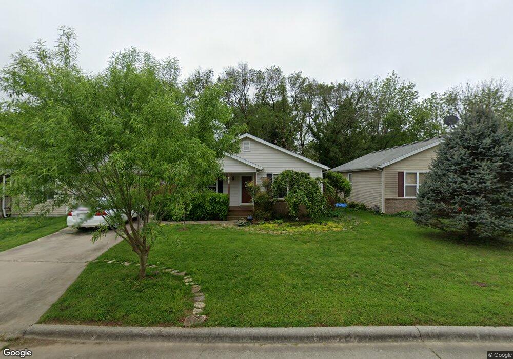
2812 W Scott St Springfield, MO 65802
Bissett NeighborhoodEstimated Value: $150,360 - $160,000
3
Beds
1
Bath
1,096
Sq Ft
$141/Sq Ft
Est. Value
About This Home
This home is located at 2812 W Scott St, Springfield, MO 65802 and is currently estimated at $154,090, approximately $140 per square foot. 2812 W Scott St is a home located in Greene County with nearby schools including Bissett Elementary School, Pipkin Middle School, and Central High School.
Ownership History
Date
Name
Owned For
Owner Type
Purchase Details
Closed on
Aug 26, 2005
Sold by
Patton Jo Ellen
Bought by
Habitat For Humanity Of Springfield
Current Estimated Value
Home Financials for this Owner
Home Financials are based on the most recent Mortgage that was taken out on this home.
Original Mortgage
$55,500
Interest Rate
5.61%
Mortgage Type
Purchase Money Mortgage
Create a Home Valuation Report for This Property
The Home Valuation Report is an in-depth analysis detailing your home's value as well as a comparison with similar homes in the area
Home Values in the Area
Average Home Value in this Area
Purchase History
| Date | Buyer | Sale Price | Title Company |
|---|---|---|---|
| Habitat For Humanity Of Springfield | -- | None Available |
Source: Public Records
Mortgage History
| Date | Status | Borrower | Loan Amount |
|---|---|---|---|
| Closed | Habitat For Humanity Of Springfield | $55,500 |
Source: Public Records
Tax History
| Year | Tax Paid | Tax Assessment Tax Assessment Total Assessment is a certain percentage of the fair market value that is determined by local assessors to be the total taxable value of land and additions on the property. | Land | Improvement |
|---|---|---|---|---|
| 2025 | $937 | $18,810 | $2,850 | $15,960 |
| 2024 | $655 | $12,200 | $1,900 | $10,300 |
| 2023 | $651 | $12,200 | $1,900 | $10,300 |
| 2022 | $613 | $11,230 | $1,900 | $9,330 |
| 2021 | $613 | $11,230 | $1,900 | $9,330 |
| 2020 | $626 | $10,960 | $1,900 | $9,060 |
| 2019 | $608 | $10,960 | $1,900 | $9,060 |
| 2018 | $560 | $10,090 | $1,900 | $8,190 |
| 2017 | $554 | $10,090 | $1,900 | $8,190 |
| 2016 | $553 | $10,090 | $1,900 | $8,190 |
| 2015 | $548 | $10,090 | $1,900 | $8,190 |
| 2014 | $548 | $10,010 | $1,900 | $8,110 |
Source: Public Records
Map
Nearby Homes
- 2809 W Nichols St
- 928 N Glenn Ave
- 1037 N Fulbright Ave
- 1120 N Fulbright Ave
- 1205 N Drury Ave
- 1103 N Ethyl Ave
- 726 N Glenn Ave
- 2646 W Brower St
- 2609 W Brower St
- 2930 W Lynn St
- 1120 N Colgate Ave
- 939 N Brown Ave
- 3022 W Brower St
- 2914 W Chestnut St
- 2944 W Lynn St
- 2916 W Chestnut St
- 2928 W Chestnut St
- 1024 N Brown Ave
- 906 N Brown Ave
- 1258 N Colgate Ave
- 2818 W Scott St
- 2808 W Scott St
- 2824 W Scott St
- 1103 N Oak Park Dr
- 1104 N Heartland Ave
- 2813 W Nichols St
- 2830 W Scott St
- 1109 N Oak Park Dr
- 2817 W Nichols St
- 1110 N Heartland Ave
- 2825 W Nichols St
- 1102 N Oak Park Dr
- 1113 N Oak Park Dr
- 2834 W Scott St
- 1114 N Heartland Ave
- 1101 N Heartland Ave
- 2753 W Nichols St
- 1107 N Heartland Ave
- 2833 W Nichols St
- 1119 N Oak Park Dr
Your Personal Tour Guide
Ask me questions while you tour the home.