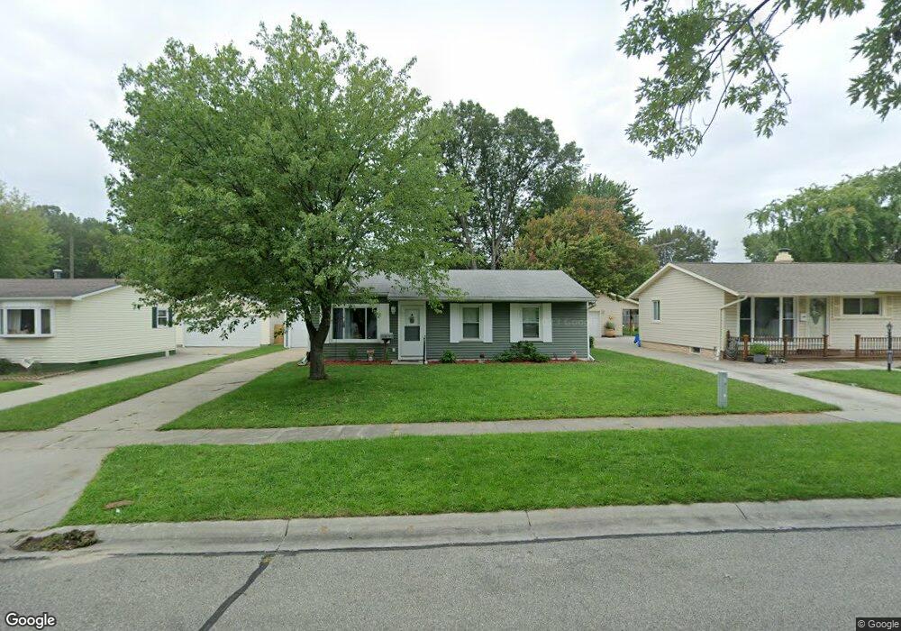
2813 E Rick Dr Port Huron, MI 48060
Estimated Value: $108,000 - $164,000
3
Beds
1
Bath
925
Sq Ft
$142/Sq Ft
Est. Value
About This Home
This home is located at 2813 E Rick Dr, Port Huron, MI 48060 and is currently estimated at $131,066, approximately $141 per square foot. 2813 E Rick Dr is a home located in St. Clair County with nearby schools including Michigamme Elementary School, Central Middle School, and Port Huron High School.
Ownership History
Date
Name
Owned For
Owner Type
Purchase Details
Closed on
Sep 13, 2022
Sold by
Bombard Michael W and Bombard Sherry L
Bought by
Bombard Michael W and Bombard Sherry L
Current Estimated Value
Purchase Details
Closed on
Oct 29, 2021
Sold by
Feher Louis and Feher Elissa
Bought by
Bombard Michael W and Bombard Sherry L
Purchase Details
Closed on
Jun 6, 2019
Sold by
Fernandez Block Kaye
Bought by
Feher Louis and Feher Elissa
Create a Home Valuation Report for This Property
The Home Valuation Report is an in-depth analysis detailing your home's value as well as a comparison with similar homes in the area
Home Values in the Area
Average Home Value in this Area
Purchase History
| Date | Buyer | Sale Price | Title Company |
|---|---|---|---|
| Bombard Michael W | -- | -- | |
| Bombard Michael W | $79,000 | None Available | |
| Feher Louis | -- | None Listed On Document |
Source: Public Records
Tax History
| Year | Tax Paid | Tax Assessment Tax Assessment Total Assessment is a certain percentage of the fair market value that is determined by local assessors to be the total taxable value of land and additions on the property. | Land | Improvement |
|---|---|---|---|---|
| 2025 | $1,984 | $57,300 | $0 | $0 |
| 2024 | $1,934 | $55,400 | $0 | $0 |
| 2023 | $1,827 | $49,600 | $0 | $0 |
| 2022 | $2,694 | $42,500 | $0 | $0 |
| 2020 | $2,090 | $37,400 | $37,400 | $0 |
| 2019 | $1,630 | $27,600 | $0 | $0 |
| 2018 | $1,804 | $27,600 | $0 | $0 |
| 2017 | $1,020 | $24,900 | $0 | $0 |
| 2016 | $865 | $24,900 | $0 | $0 |
| 2015 | $849 | $25,000 | $25,000 | $0 |
| 2014 | $849 | $23,900 | $23,900 | $0 |
| 2013 | -- | $23,300 | $0 | $0 |
Source: Public Records
Map
Nearby Homes
- 1218 Center Ave
- 1403 Catherine McAuley Dr
- 1334 Beard St
- 2704 Military St
- 3136 Military St
- 835 Vanderburgh Place
- 2444 Military St
- 1825 16th St
- 1127 Minnie St
- Lot 3 24th St
- 1831 11th St
- 1804 12th St
- 2203 VL Railroad St
- 2200 VL Railroad St
- 1909 Minnie St
- 738 Bancroft St
- 2411 26th St
- 2506 Vanness St
- 2213 Bancroft St
- 1711 Oak St
- 2807 E Rick Dr
- 2819 E Rick Dr
- 2827 E Rick Dr
- 2646 Susan Ct
- 2715 E Rick Dr
- 2810 E Rick Dr
- 2644 Susan Ct
- 2820 E Rick Dr
- 2814 E Rick Dr
- 2624 Susan Ct
- 2828 E Rick Dr
- 2802 E Rick Dr
- 2640 Susan Ct
- 2718 E Rick Dr
- 2671 E Rick Dr
- 2714 E Rick Dr
- 2861 W Rick Dr
- 2663 E Rick Dr
- 2823 Mason Ave
- 2675 Susan Ct Unit 1518
Your Personal Tour Guide
Ask me questions while you tour the home.