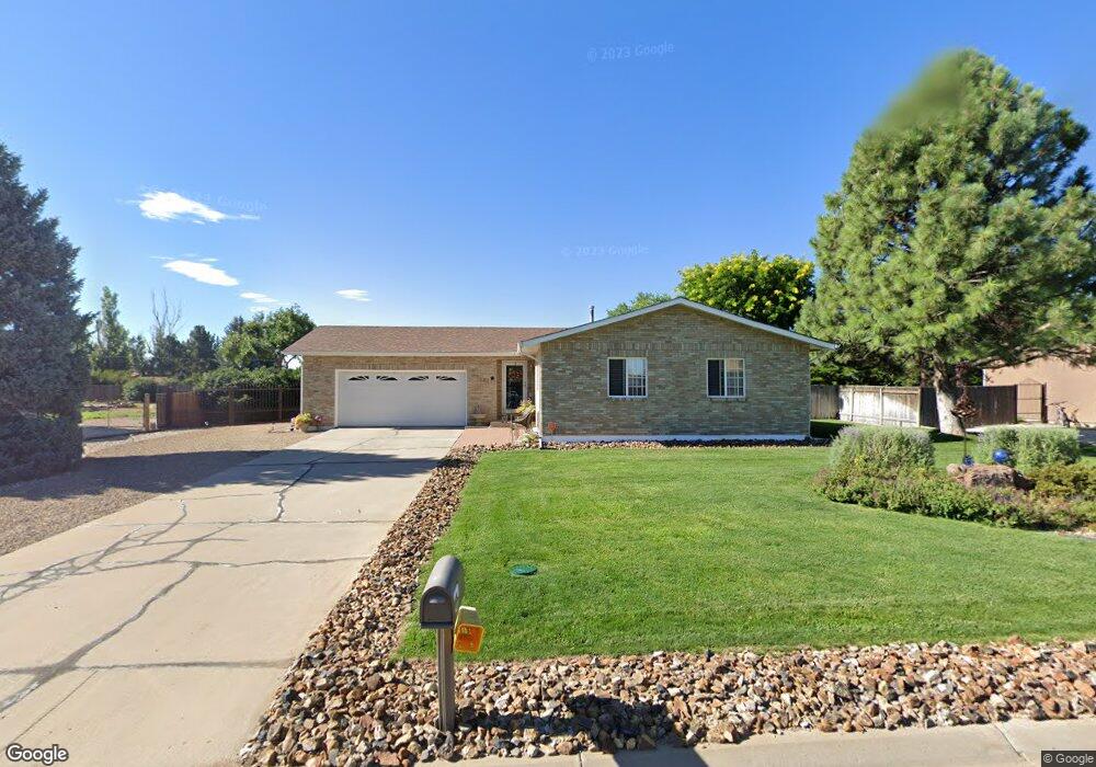
28156 Pongo Dr Pueblo, CO 81006
Estimated Value: $352,900 - $467,000
3
Beds
3
Baths
1,160
Sq Ft
$358/Sq Ft
Est. Value
About This Home
This home is located at 28156 Pongo Dr, Pueblo, CO 81006 and is currently estimated at $414,725, approximately $357 per square foot. 28156 Pongo Dr is a home located in Pueblo County with nearby schools including Vineland Elementary School, Vineland Middle School, and Pueblo County High School.
Ownership History
Date
Name
Owned For
Owner Type
Purchase Details
Closed on
May 27, 1994
Sold by
Davis William F + Joyce A
Bought by
Mraovich M M Iii + M R
Current Estimated Value
Purchase Details
Closed on
Dec 30, 1983
Sold by
Sparks Construction Co
Bought by
Davis William F + Joyce A
Purchase Details
Closed on
May 10, 1983
Sold by
Acacia Development Inc
Bought by
Sparks Construction Co
Purchase Details
Closed on
Aug 27, 1979
Sold by
Finnigan George A + Josephine
Bought by
Jat Enterprises + Zinno T
Purchase Details
Closed on
Aug 23, 1979
Sold by
Jat Enterprises + Zinno T
Bought by
Acacia Development Inc
Create a Home Valuation Report for This Property
The Home Valuation Report is an in-depth analysis detailing your home's value as well as a comparison with similar homes in the area
Home Values in the Area
Average Home Value in this Area
Purchase History
| Date | Buyer | Sale Price | Title Company |
|---|---|---|---|
| Mraovich M M Iii + M R | $88,000 | -- | |
| Davis William F + Joyce A | $61,500 | -- | |
| Sparks Construction Co | $8,500 | -- | |
| Jat Enterprises + Zinno T | -- | -- | |
| Acacia Development Inc | -- | -- |
Source: Public Records
Tax History Compared to Growth
Tax History
| Year | Tax Paid | Tax Assessment Tax Assessment Total Assessment is a certain percentage of the fair market value that is determined by local assessors to be the total taxable value of land and additions on the property. | Land | Improvement |
|---|---|---|---|---|
| 2024 | $2,254 | $21,590 | -- | -- |
| 2023 | $2,279 | $25,280 | $1,880 | $23,400 |
| 2022 | $2,510 | $24,050 | $2,260 | $21,790 |
| 2021 | $2,574 | $24,750 | $2,330 | $22,420 |
| 2020 | $1,750 | $16,790 | $2,150 | $14,640 |
| 2019 | $1,745 | $16,781 | $2,145 | $14,636 |
| 2018 | $1,449 | $13,929 | $2,160 | $11,769 |
| 2017 | $1,451 | $13,929 | $2,160 | $11,769 |
| 2016 | $1,506 | $14,488 | $2,388 | $12,100 |
| 2015 | $1,500 | $14,488 | $2,388 | $12,100 |
| 2014 | $1,402 | $13,575 | $2,388 | $11,187 |
Source: Public Records
Map
Nearby Homes
- 1557 28th Ln
- 1470 Villa Spanada St
- 27454 Preston Rd
- 1419 27 1 2 Ln
- 27875 County Farm Rd
- 27111 Preston Rd
- Lot C Manning Rd
- Lot C Manning Rd
- 27193 County Farm Rd
- 29767 Preston Rd
- TBD 27th Ln
- 28513 Hillside Rd
- 1620 Johneva St
- TBD Hillside Rd
- 1145 Wago Dr
- 2074 Oriole Rd
- 1040 28th Ln
- 1725 Harlow Ave
- 1345 Terry Cir
- 1143 25th Ln