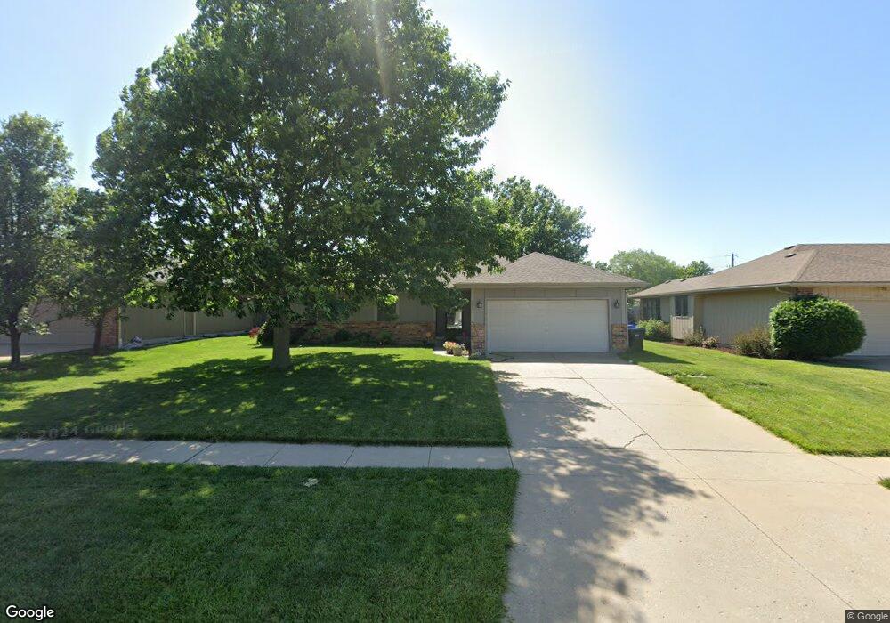
2825 SW Maxfield Rd Topeka, KS 66614
Estimated Value: $286,000 - $340,000
4
Beds
3
Baths
1,272
Sq Ft
$238/Sq Ft
Est. Value
About This Home
This home is located at 2825 SW Maxfield Rd, Topeka, KS 66614 and is currently estimated at $302,272, approximately $237 per square foot. 2825 SW Maxfield Rd is a home located in Shawnee County with nearby schools including Indian Hills Elementary School, Washburn Rural Middle School, and Washburn Rural High School.
Ownership History
Date
Name
Owned For
Owner Type
Purchase Details
Closed on
Feb 27, 2019
Sold by
Bass Aleah
Bought by
Bass Stephen
Current Estimated Value
Purchase Details
Closed on
Aug 25, 2017
Sold by
King Scott W and King Charity K
Bought by
Bass Stephen A
Home Financials for this Owner
Home Financials are based on the most recent Mortgage that was taken out on this home.
Original Mortgage
$151,920
Outstanding Balance
$127,305
Interest Rate
4.03%
Mortgage Type
New Conventional
Estimated Equity
$174,967
Create a Home Valuation Report for This Property
The Home Valuation Report is an in-depth analysis detailing your home's value as well as a comparison with similar homes in the area
Home Values in the Area
Average Home Value in this Area
Purchase History
| Date | Buyer | Sale Price | Title Company |
|---|---|---|---|
| Bass Stephen | -- | None Available | |
| Bass Stephen A | -- | Lawyers Title Of Topeka Inc |
Source: Public Records
Mortgage History
| Date | Status | Borrower | Loan Amount |
|---|---|---|---|
| Open | Bass Stephen A | $151,920 |
Source: Public Records
Tax History Compared to Growth
Tax History
| Year | Tax Paid | Tax Assessment Tax Assessment Total Assessment is a certain percentage of the fair market value that is determined by local assessors to be the total taxable value of land and additions on the property. | Land | Improvement |
|---|---|---|---|---|
| 2025 | $4,399 | $31,425 | -- | -- |
| 2023 | $4,399 | $30,204 | $0 | $0 |
| 2022 | $3,757 | $26,968 | $0 | $0 |
| 2021 | $3,206 | $23,451 | $0 | $0 |
| 2020 | $2,971 | $22,124 | $0 | $0 |
| 2019 | $2,918 | $21,480 | $0 | $0 |
| 2018 | $2,628 | $20,654 | $0 | $0 |
| 2017 | $2,203 | $16,315 | $0 | $0 |
| 2014 | $2,178 | $15,917 | $0 | $0 |
Source: Public Records
Map
Nearby Homes
- 2831 SW Bingham Rd
- 2801 SW Windermere Dr
- 7628 SW 28th Terrace
- 7225 SW Marian Rd
- 7419 SW 26th Ct
- 7622 SW 27th St
- 2839 SW Santa fe Dr
- 7319 SW 25th Ct
- 2604 SW Ancaster Rd
- 7741 SW 26th St
- 2418 SW Romar Rd
- 2728 SW Chauncey Ct
- 2401 SW Romar Rd
- 7700 SW 24th Terrace
- 0000 SW 24th Terrace
- 2747 SW Lagito Dr
- 7345 SW 23rd Ct
- 7237 SW 23rd Ct
- 2632 SW Sherwood Park Dr Unit Lot 2, Block B
- 2628 SW Sherwood Park Dr
- 2819 SW Maxfield Rd
- 2831 SW Maxfield Rd
- 2824 SW Romar Rd
- 2813 SW Maxfield Rd
- 2837 SW Maxfield Rd
- 2830 SW Romar Rd
- 2818 SW Romar Rd
- 2812 SW Romar Rd
- 2836 SW Romar Rd
- 2843 SW Maxfield Rd
- 2824 SW Maxfield Rd
- 2830 SW Maxfield Rd
- 2818 SW Maxfield Rd
- 2801 SW Maxfield Rd
- 7433 SW Bingham Rd
- 2842 SW Romar Rd
- 2836 SW Maxfield Rd
- 2812 SW Maxfield Rd
- 2849 SW Maxfield Rd
- 7441 SW Bingham Rd