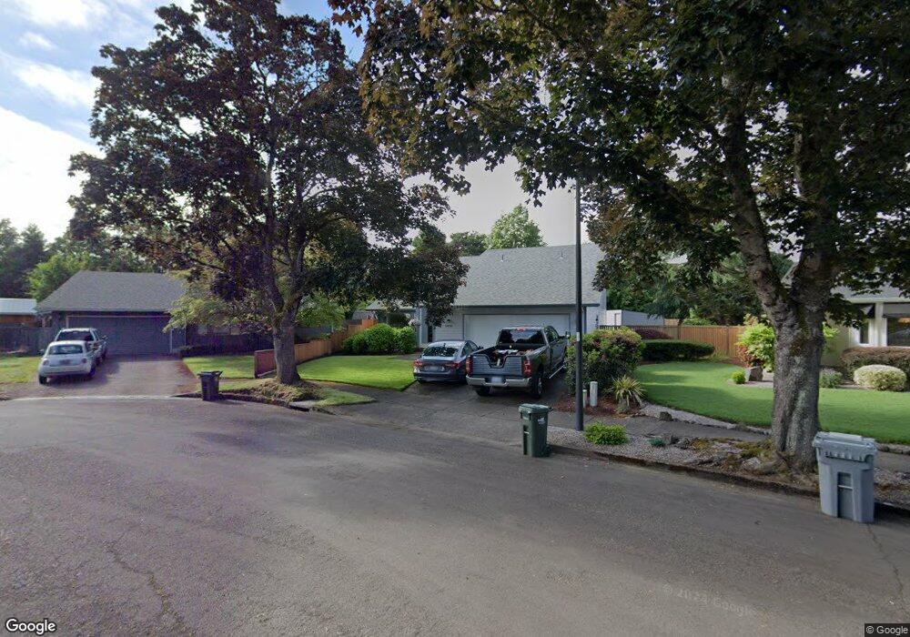
2826 Elysium Ave Eugene, OR 97401
Harlow NeighborhoodEstimated Value: $411,234 - $468,000
3
Beds
2
Baths
958
Sq Ft
$460/Sq Ft
Est. Value
About This Home
This home is located at 2826 Elysium Ave, Eugene, OR 97401 and is currently estimated at $441,059, approximately $460 per square foot. 2826 Elysium Ave is a home located in Lane County with nearby schools including Holt Elementary School, Monroe Middle School, and Sheldon High School.
Ownership History
Date
Name
Owned For
Owner Type
Purchase Details
Closed on
Jan 15, 2025
Sold by
Reddon Kimberly M and Jennings Kimberly M
Bought by
Kimberly M Reddon Living Trust and Reddon
Current Estimated Value
Purchase Details
Closed on
Jul 29, 2015
Sold by
Jennings Kimberly M
Bought by
Jennings Kimberly M and Jennings Daniel R
Purchase Details
Closed on
Apr 26, 2011
Sold by
Jennings William S and Jennings Kimberly M
Bought by
Jennings Kimberly M
Create a Home Valuation Report for This Property
The Home Valuation Report is an in-depth analysis detailing your home's value as well as a comparison with similar homes in the area
Home Values in the Area
Average Home Value in this Area
Purchase History
| Date | Buyer | Sale Price | Title Company |
|---|---|---|---|
| Kimberly M Reddon Living Trust | -- | None Listed On Document | |
| Jennings Kimberly M | -- | None Available | |
| Jennings Kimberly M | -- | None Available |
Source: Public Records
Tax History
| Year | Tax Paid | Tax Assessment Tax Assessment Total Assessment is a certain percentage of the fair market value that is determined by local assessors to be the total taxable value of land and additions on the property. | Land | Improvement |
|---|---|---|---|---|
| 2025 | $5,624 | $288,626 | -- | -- |
| 2024 | $5,554 | $280,220 | -- | -- |
| 2023 | $5,554 | $272,059 | $0 | $0 |
| 2022 | $5,203 | $264,135 | $0 | $0 |
| 2021 | $4,704 | $256,442 | $0 | $0 |
| 2020 | $4,639 | $248,973 | $0 | $0 |
| 2019 | $4,657 | $241,722 | $0 | $0 |
| 2018 | $4,282 | $227,847 | $0 | $0 |
| 2017 | $4,020 | $227,847 | $0 | $0 |
| 2016 | $3,834 | $221,211 | $0 | $0 |
| 2015 | $3,687 | $214,768 | $0 | $0 |
| 2014 | $3,642 | $208,513 | $0 | $0 |
Source: Public Records
Map
Nearby Homes
- 1993 Best Ln
- 2577 Elysium Ave
- 1794 Kings St N
- 2065 Providence St
- 3090 Willakenzie Rd
- 0 Sprig Ln Unit Lot 3
- 0 Sprig Ln Unit Lot 3 766109892
- 2420 Willona Dr
- 2611 Erin Way
- 2329 Willona Park
- 2645 Chuckanut St
- 1564 Regency Dr
- 1491 Victorian Way
- 2423 Benson Ln
- 2707 Dayna Ln
- 3025 Bailey Ln
- 2752 Dayna Ln
- 2267 Willona Dr
- 2776 Dayna Ln
- 2889 Kinney Loop
- 2822 Elysium Ave
- 2834 Elysium Ave
- 2848 Elysium Ave
- 2816 Elysium Ave
- 2854 Elysium Ave
- 2812 Elysium Ave
- 2872 Elysium Ave
- 2868 Elysium Ave
- 2924 Elysium Ave
- 2884 Elysium Ave
- 2808 Elysium Ave
- 2916 Elysium Ave
- 2928 Elysium Ave
- 2125 Coburg Rd
- 2912 Elysium Ave
- 2888 Elysium Ave
- 1725 Adkins St
- 2802 Elysium Ave
- 2932 Elysium Ave
- 2873 Elysium Ave
Your Personal Tour Guide
Ask me questions while you tour the home.