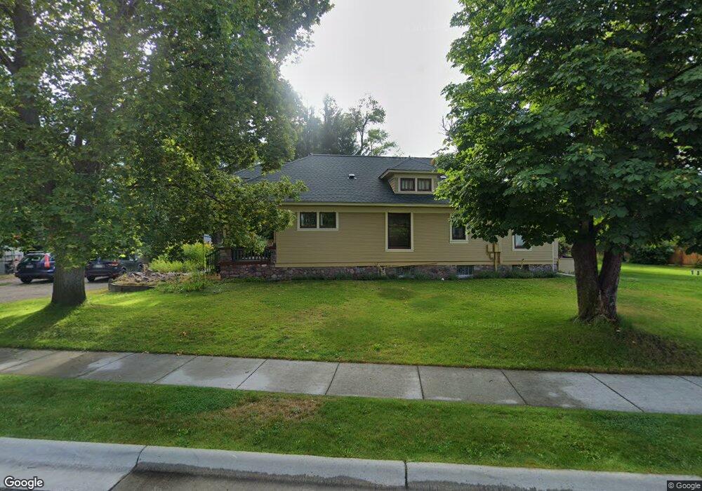
2829 S 3rd St W Missoula, MT 59804
Estimated Value: $580,409 - $609,000
3
Beds
1
Bath
798
Sq Ft
$743/Sq Ft
Est. Value
About This Home
This home is located at 2829 S 3rd St W, Missoula, MT 59804 and is currently estimated at $592,803, approximately $742 per square foot. 2829 S 3rd St W is a home located in Missoula County with nearby schools including Hawthorne Elementary School, Porter Middle School, and Big Sky High School.
Ownership History
Date
Name
Owned For
Owner Type
Purchase Details
Closed on
Jan 15, 2009
Sold by
Gm & Nm Llc
Bought by
Parks Victoria A and Parks Kenneth C
Current Estimated Value
Home Financials for this Owner
Home Financials are based on the most recent Mortgage that was taken out on this home.
Original Mortgage
$112,000
Outstanding Balance
$70,642
Interest Rate
5.14%
Mortgage Type
Unknown
Estimated Equity
$522,161
Purchase Details
Closed on
Mar 23, 2007
Sold by
Mostad Gene R and Mostad Nancy R
Bought by
Gm & Nm Llc
Purchase Details
Closed on
Mar 17, 2005
Sold by
Mostad Construction Inc
Bought by
Mostad Gene R and Mostad Nancy R
Purchase Details
Closed on
Apr 15, 2004
Sold by
Rolshoven William and Rolshoven Shirley A
Bought by
Mostad Construction Inc
Home Financials for this Owner
Home Financials are based on the most recent Mortgage that was taken out on this home.
Original Mortgage
$269,500
Interest Rate
5.57%
Mortgage Type
Purchase Money Mortgage
Create a Home Valuation Report for This Property
The Home Valuation Report is an in-depth analysis detailing your home's value as well as a comparison with similar homes in the area
Home Values in the Area
Average Home Value in this Area
Purchase History
| Date | Buyer | Sale Price | Title Company |
|---|---|---|---|
| Parks Victoria A | -- | Insured Titles Llc | |
| Gm & Nm Llc | -- | It | |
| Mostad Gene R | -- | -- | |
| Mostad Construction Inc | -- | -- |
Source: Public Records
Mortgage History
| Date | Status | Borrower | Loan Amount |
|---|---|---|---|
| Open | Parks Victoria A | $112,000 | |
| Previous Owner | Mostad Construction Inc | $269,500 |
Source: Public Records
Tax History Compared to Growth
Tax History
| Year | Tax Paid | Tax Assessment Tax Assessment Total Assessment is a certain percentage of the fair market value that is determined by local assessors to be the total taxable value of land and additions on the property. | Land | Improvement |
|---|---|---|---|---|
| 2025 | $5,300 | $509,600 | $232,483 | $277,117 |
| 2024 | $5,049 | $414,900 | $120,307 | $294,593 |
| 2023 | $4,904 | $414,900 | $120,307 | $294,593 |
| 2022 | $4,244 | $311,100 | $0 | $0 |
| 2021 | $3,779 | $311,100 | $0 | $0 |
| 2020 | $3,590 | $271,415 | $0 | $0 |
| 2019 | $3,455 | $262,025 | $0 | $0 |
| 2018 | $3,494 | $257,600 | $0 | $0 |
| 2017 | $3,087 | $257,600 | $0 | $0 |
| 2016 | $3,154 | $247,100 | $0 | $0 |
| 2015 | $2,921 | $247,100 | $0 | $0 |
| 2014 | $2,663 | $122,271 | $0 | $0 |
Source: Public Records
Map
Nearby Homes
- 2816 S 3rd St W
- 365 Hiberta St
- 815 Gary Dr
- 796 Eliza Ct
- 2719 Juneau Ct
- 2705 Emery Place
- 303 S Grove St
- 2783 Renae Ct
- 2712 Spurgin Rd
- 2515 and 2517 S 3rd St W
- 3330 S 3rd St W
- 2511 and 2513 S 3rd St W
- 2511, 2513, 2515, & S 3rd St W
- 2514 Gleason St
- 306 Tower St
- 112 N Grove St
- 1312 27th Ave
- 2406 S 5th St W
- 455 Stonybrook Dr
- 2123 27th Ave
- 605 Preston St
- 617 Preston St
- 629 Preston St
- 641 Preston St
- 641 Preston St
- 626 Preston St
- 6666 Preston St
- 618 Preston St
- 618 Preston St
- 610 Preston St
- 650 Preston St
- 653 Preston St
- 634 Preston St
- 645 Veranda Way
- 658 Preston St
- 642 Preston St
- 575 Hiberta St
- 605 Hiberta St
- 682 Preston St
- 545 Hiberta St