283 Highpoint Rd Jackson, TN 38305
Estimated Value: $535,000
Studio
7
Baths
8,258
Sq Ft
$65/Sq Ft
Est. Value
About This Home
This home is located at 283 Highpoint Rd, Jackson, TN 38305 and is currently estimated at $535,000, approximately $64 per square foot. 283 Highpoint Rd is a home located in Madison County with nearby schools including Pope School, Northeast Middle School, and North Side High School.
Ownership History
Date
Name
Owned For
Owner Type
Purchase Details
Closed on
Feb 7, 2020
Sold by
Harlan Fiona
Bought by
Ferguson Benjamin and Ferguson Holly
Current Estimated Value
Home Financials for this Owner
Home Financials are based on the most recent Mortgage that was taken out on this home.
Original Mortgage
$743,400
Outstanding Balance
$655,813
Interest Rate
3.74%
Mortgage Type
Future Advance Clause Open End Mortgage
Estimated Equity
-$120,813
Purchase Details
Closed on
Aug 21, 2018
Sold by
Harlan Jonathan and Harlan Fiona
Bought by
Harlan Jonthan V and Harlan Fiona
Purchase Details
Closed on
Nov 14, 1962
Bought by
Hills Walter J and Hills Sylvia
Create a Home Valuation Report for This Property
The Home Valuation Report is an in-depth analysis detailing your home's value as well as a comparison with similar homes in the area
Purchase History
| Date | Buyer | Sale Price | Title Company |
|---|---|---|---|
| Ferguson Benjamin | $300,000 | None Available | |
| Ferguson Benjamin | $1,000,000 | None Available | |
| Harlan Jonthan V | -- | None Available | |
| Hills Walter J | -- | -- |
Source: Public Records
Mortgage History
| Date | Status | Borrower | Loan Amount |
|---|---|---|---|
| Open | Ferguson Benjamin | $743,400 |
Source: Public Records
Tax History
| Year | Tax Paid | Tax Assessment Tax Assessment Total Assessment is a certain percentage of the fair market value that is determined by local assessors to be the total taxable value of land and additions on the property. | Land | Improvement |
|---|---|---|---|---|
| 2025 | $71 | $3,800 | $3,800 | -- |
| 2024 | $71 | $3,800 | $3,800 | -- |
| 2022 | $132 | $3,800 | $3,800 | $0 |
| 2021 | $132 | $3,075 | $3,075 | $0 |
| 2020 | $9,337 | $12,025 | $12,025 | $0 |
| 2019 | $9,337 | $216,550 | $42,200 | $174,350 |
| 2018 | $9,337 | $216,550 | $42,200 | $174,350 |
| 2017 | $9,245 | $209,550 | $40,825 | $168,725 |
| 2016 | $8,616 | $209,550 | $40,825 | $168,725 |
| 2015 | $8,616 | $209,550 | $40,825 | $168,725 |
| 2014 | $8,616 | $209,550 | $40,825 | $168,725 |
Source: Public Records
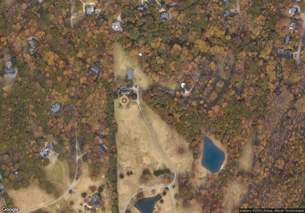
Map
Nearby Homes
- 22 Deepwood Dr
- 26 Bridlepath Dr
- 38 Bridlepath Dr
- 4 Windwood Dr
- 148 Bridlepath Dr
- 33 Summerfield Dr
- 9 Windwood Dr
- 812 Pipkin Rd
- 57 Forest Downs Dr
- 54 Forest Downs Dr
- 1019 Country Club Ln
- 32 Emerson Dr
- 100 Crest Ridge Dr
- 35 Hampstead Cove
- 50 Windfield Cove
- 191 Vann Dr
- 669 Walker Rd
- 54 Laurelwood Cove
- 0 Hwy 412 E
- 160 Plantation Rd
- 283 Highpoint Rd
- 23 Deepwood Dr
- 77 Greensborough Dr
- 21 Deepwood Dr
- 27 Windwood Dr
- 19 Deepwood Dr
- 65 Greensborough Dr
- 259 Saddlebrook Dr
- 106 Highpoint Rd
- 29 Windwood Hills Dr
- 29 Windwood Dr
- 53 Greensborough Dr
- 20 Deepwood Dr
- 239 Saddlebrook Dr
- 64 Greensborough Dr
- 251 Saddlebrook Dr
- 18 Deepwood Dr
- 227 Saddlebrook Dr
- 17 Deepwood Dr
- 54 Greensborough Dr
Your Personal Tour Guide
Ask me questions while you tour the home.