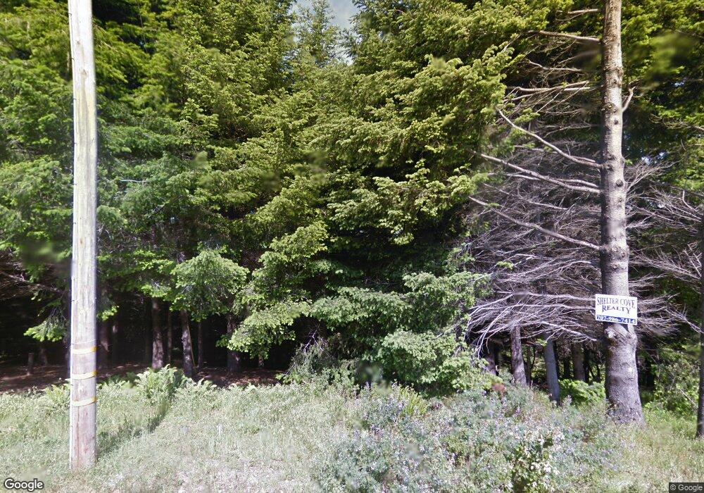
283 Parsons Rd Whitethorn, CA 95589
Estimated Value: $58,000 - $278,000
Studio
--
Bath
--
Sq Ft
0.31
Acres
About This Home
This home is located at 283 Parsons Rd, Whitethorn, CA 95589 and is currently estimated at $138,333. 283 Parsons Rd is a home located in Humboldt County.
Ownership History
Date
Name
Owned For
Owner Type
Purchase Details
Closed on
Nov 10, 2021
Sold by
Christianson Johnna and Estate Of Conrad Miles Christi
Bought by
Christianson Joseph and Christianson Johnna
Current Estimated Value
Purchase Details
Closed on
Mar 18, 2002
Sold by
Christianson Sylvia
Bought by
Christianson Conrad
Purchase Details
Closed on
Feb 1, 2002
Sold by
American State Bank
Bought by
Christianson Conrad
Purchase Details
Closed on
Oct 25, 2000
Sold by
Coombs Robert L
Bought by
Coombs Robert Leon and Robert Leon Coombs Trust
Create a Home Valuation Report for This Property
The Home Valuation Report is an in-depth analysis detailing your home's value as well as a comparison with similar homes in the area
Home Values in the Area
Average Home Value in this Area
Purchase History
| Date | Buyer | Sale Price | Title Company |
|---|---|---|---|
| Christianson Joseph | -- | None Available | |
| Christianson Conrad | -- | Humboldt Land Title Company | |
| Christianson Conrad | $15,000 | Humboldt Land Title Company | |
| Coombs Robert Leon | -- | -- |
Source: Public Records
Tax History Compared to Growth
Tax History
| Year | Tax Paid | Tax Assessment Tax Assessment Total Assessment is a certain percentage of the fair market value that is determined by local assessors to be the total taxable value of land and additions on the property. | Land | Improvement |
|---|---|---|---|---|
| 2025 | $544 | $22,147 | $22,147 | -- |
| 2024 | $544 | $21,713 | $21,713 | -- |
| 2023 | $545 | $21,288 | $21,288 | $0 |
| 2022 | $542 | $20,871 | $20,871 | $0 |
| 2021 | $533 | $20,462 | $20,462 | $0 |
| 2020 | $534 | $20,253 | $20,253 | $0 |
| 2019 | $528 | $19,856 | $19,856 | $0 |
| 2018 | $524 | $19,467 | $19,467 | $0 |
| 2017 | $446 | $19,086 | $19,086 | $0 |
| 2016 | $445 | $18,712 | $18,712 | $0 |
| 2015 | $444 | $18,431 | $18,431 | $0 |
| 2014 | $431 | $18,070 | $18,070 | $0 |
Source: Public Records
Map
Nearby Homes
- 261 Parsons Rd
- 450 Hillside Dr
- 1085 Hillside Dr
- 7431 Shelter Cove Rd
- 2715 Toth Rd
- 175 Hillside Dr
- 86 & 112 Rawhide Ct
- 62 Highview Cir
- 65 Carson Ct
- 8936 Shelter Cove Rd
- 1071 Hillside Dr
- 268 Oak Dr
- 41 W Cove Point
- 755 Telegraph Creek Rd
- 432 Knob Hill Dr
- 356 Nob Hill Rd
- 141 Cove Point W
- 111 Beach Rd
- 32 Sea Crest Rd
- 566 Redwood Rd
- 246 Parsons Rd
- 299 Olson Rd
- 3015 Toth Rd
- 283 Olson Olson Rd
- 293 Parsons Rd
- 466 Hillside Rd
- 211 & 225 Parsons Rd
- 225 Parsons Rd
- 2985 Toth Rd
- 224 Parsons Rd
- 482 & 496 Hillside Dr
- 211 Parsons Rd
- 323 Parsons Rd
- 343 Parsons Rd
- 383 Parsons Rd
- 2943 Toth Rd
- 214 Parsons Rd
- 238 Olson Rd
- 355 Parsons Rd
- 46 Parsons Rd
