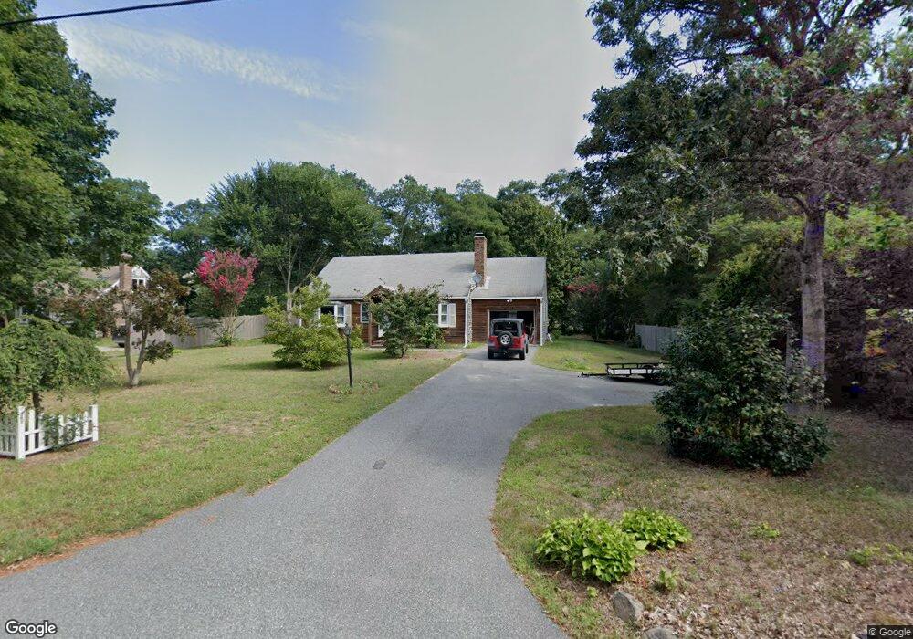
283 Tubman Rd Brewster, MA 02631
Estimated Value: $597,000 - $642,000
2
Beds
2
Baths
1,100
Sq Ft
$565/Sq Ft
Est. Value
About This Home
This home is located at 283 Tubman Rd, Brewster, MA 02631 and is currently estimated at $621,559, approximately $565 per square foot. 283 Tubman Rd is a home located in Barnstable County with nearby schools including Nauset Regional Middle School, Nauset Regional High School, and The Laurel School.
Ownership History
Date
Name
Owned For
Owner Type
Purchase Details
Closed on
May 12, 2025
Sold by
Ladutko William and Ladutko Lynn
Bought by
Douglas W & R Fellows Lt and Fellows
Current Estimated Value
Purchase Details
Closed on
Feb 10, 2024
Sold by
Ludutko William
Bought by
Ladutko William and Ladutko Lynn
Purchase Details
Closed on
Jan 25, 2024
Sold by
Tuckerman Elizabeth M and Wells Fargo Bank Na
Bought by
Ladutko William
Purchase Details
Closed on
Oct 19, 1983
Bought by
Tuckerman Elizabeth M
Create a Home Valuation Report for This Property
The Home Valuation Report is an in-depth analysis detailing your home's value as well as a comparison with similar homes in the area
Home Values in the Area
Average Home Value in this Area
Purchase History
| Date | Buyer | Sale Price | Title Company |
|---|---|---|---|
| Douglas W & R Fellows Lt | $625,000 | None Available | |
| Douglas W & R Fellows Lt | $625,000 | None Available | |
| Ladutko William | -- | None Available | |
| Ladutko William | -- | None Available | |
| Ladutko William | $437,000 | None Available | |
| Ladutko William | $437,000 | None Available | |
| Tuckerman Elizabeth M | -- | -- |
Source: Public Records
Mortgage History
| Date | Status | Borrower | Loan Amount |
|---|---|---|---|
| Previous Owner | Tuckerman Elizabeth M | $299,653 | |
| Previous Owner | Tuckerman Elizabeth M | $25,000 | |
| Previous Owner | Tuckerman Elizabeth M | $94,000 |
Source: Public Records
Tax History Compared to Growth
Tax History
| Year | Tax Paid | Tax Assessment Tax Assessment Total Assessment is a certain percentage of the fair market value that is determined by local assessors to be the total taxable value of land and additions on the property. | Land | Improvement |
|---|---|---|---|---|
| 2025 | $3,514 | $510,800 | $216,800 | $294,000 |
| 2024 | $3,309 | $485,900 | $204,500 | $281,400 |
| 2023 | $3,036 | $434,400 | $182,600 | $251,800 |
| 2022 | $2,751 | $350,500 | $136,900 | $213,600 |
| 2021 | $7,437 | $305,600 | $119,000 | $186,600 |
| 2020 | $7,059 | $312,000 | $119,000 | $193,000 |
| 2019 | $7,060 | $300,600 | $114,500 | $186,100 |
| 2018 | $6,702 | $295,500 | $114,500 | $181,000 |
| 2017 | $2,282 | $272,000 | $114,500 | $157,500 |
| 2016 | $2,266 | $268,800 | $112,300 | $156,500 |
| 2015 | $2,172 | $262,900 | $110,000 | $152,900 |
Source: Public Records
Map
Nearby Homes
- 1424 Main St
- 309 Great Fields Rd
- 1580 Main St
- 30 Fox Crossing Rd
- 597 Great Fields Rd
- 1861 Main St
- 728 Great Fields Rd
- 21 Sea Meadow Ln
- 20 Spring Ln
- 240 Robbins Hill Rd
- 55 Leona Terrace
- 429 Paines Creek Rd
- 120 Red Maple Rd
- 43 Billington Ln
- 43 Billington Ln Unit 43
- 52 Bettys Ln
- 272 Sheep Pond Dr
- 0 Canoe Pond Dr
- 33 Captain William Arthur Rd