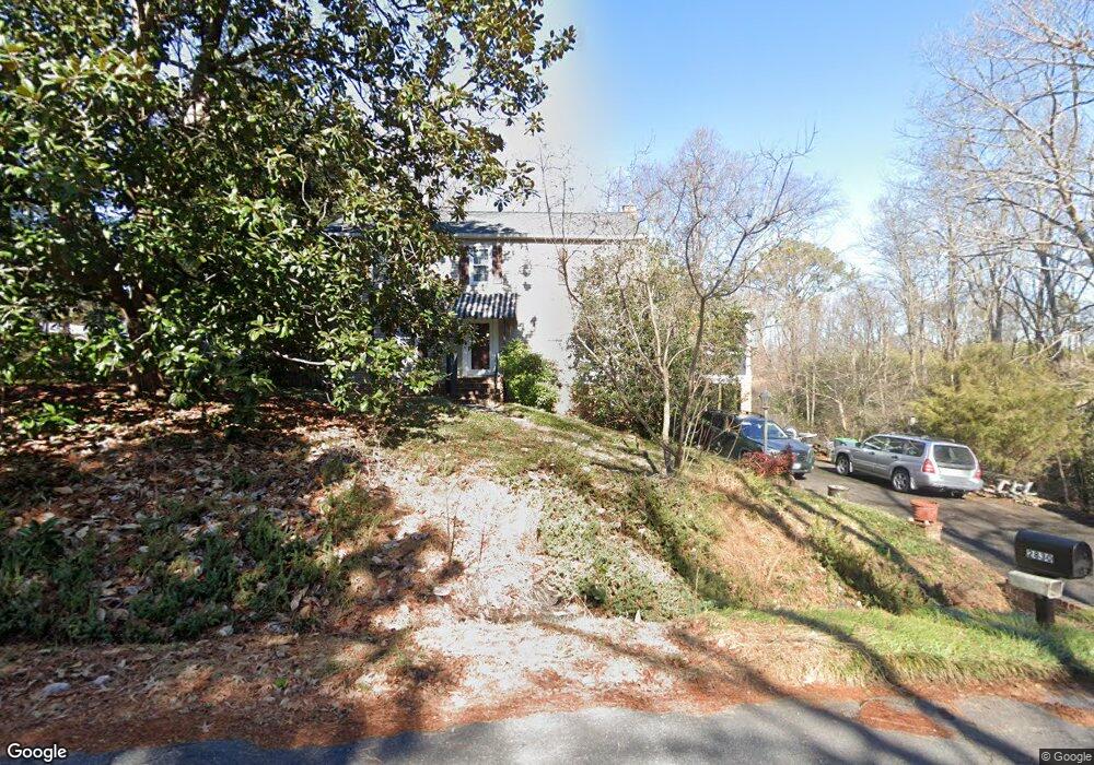
2830 Deford Ct Chester, VA 23831
Estimated Value: $340,000 - $399,000
4
Beds
3
Baths
2,080
Sq Ft
$184/Sq Ft
Est. Value
About This Home
This home is located at 2830 Deford Ct, Chester, VA 23831 and is currently estimated at $382,171, approximately $183 per square foot. 2830 Deford Ct is a home located in Chesterfield County with nearby schools including C E Curtis Elementary School, Bellwood Elementary School, and Elizabeth Davis Middle School.
Ownership History
Date
Name
Owned For
Owner Type
Purchase Details
Closed on
Mar 17, 2004
Sold by
Huston Douglas
Bought by
Keller Patricia and Keller Strihafka,Francis O
Current Estimated Value
Home Financials for this Owner
Home Financials are based on the most recent Mortgage that was taken out on this home.
Original Mortgage
$139,200
Outstanding Balance
$64,554
Interest Rate
5.56%
Mortgage Type
New Conventional
Estimated Equity
$317,617
Create a Home Valuation Report for This Property
The Home Valuation Report is an in-depth analysis detailing your home's value as well as a comparison with similar homes in the area
Home Values in the Area
Average Home Value in this Area
Purchase History
| Date | Buyer | Sale Price | Title Company |
|---|---|---|---|
| Keller Patricia | $139,200 | -- |
Source: Public Records
Mortgage History
| Date | Status | Borrower | Loan Amount |
|---|---|---|---|
| Open | Keller Patricia | $139,200 |
Source: Public Records
Tax History Compared to Growth
Tax History
| Year | Tax Paid | Tax Assessment Tax Assessment Total Assessment is a certain percentage of the fair market value that is determined by local assessors to be the total taxable value of land and additions on the property. | Land | Improvement |
|---|---|---|---|---|
| 2025 | $3,236 | $360,800 | $66,200 | $294,600 |
| 2024 | $3,236 | $355,900 | $64,200 | $291,700 |
| 2023 | $2,914 | $320,200 | $58,200 | $262,000 |
| 2022 | $2,945 | $320,100 | $54,200 | $265,900 |
| 2021 | $2,496 | $255,800 | $50,200 | $205,600 |
| 2020 | $2,430 | $255,800 | $50,200 | $205,600 |
| 2019 | $2,364 | $248,800 | $50,200 | $198,600 |
| 2018 | $2,186 | $230,100 | $50,200 | $179,900 |
| 2017 | $2,087 | $217,400 | $50,200 | $167,200 |
| 2016 | $2,087 | $217,400 | $50,200 | $167,200 |
| 2015 | $2,053 | $211,300 | $50,200 | $161,100 |
| 2014 | $2,011 | $206,900 | $50,200 | $156,700 |
Source: Public Records
Map
Nearby Homes
- Lot 7 Surry Place
- 10920 Stepney Rd
- 11600 Hillside Rd
- 11360 Elokomin Ave
- 11306 Elokomin Ave
- 10513 Surry Rd
- 11749 Cliff Lawn Dr
- 3512 Castlebury Dr
- 11800 Shady Ln
- 11816 Shady Ln
- 11709 Boyd Rd
- 2716 Goyne Loop
- 11016 Timonium Dr
- 10906 Timonium Dr
- 3000 Perdue Springs Ln
- 3230 Perdue Springs Ln
- 12137 Perdue Springs Loop
- 12173 Calgary Loop
- 12136 Warfield Estates Dr
- 3713 Yantis Ct
- 11121 Surry Rd
- 2831 Deford Ct
- 2814 Deford Ct
- 11200 Surry Rd
- 2821 Deford Ct
- 11111 Surry Rd
- 11111 Surry Rd
- 2812 Deford Ct
- 2901 Surry Ct
- 2811 Deford Ct
- 11103 Surry Rd
- 2800 Woodland Rd
- 2801 Deford Ct
- 2900 Surry Ct
- 2911 Surry Ct
- 2806 Deford Ct
- 2800 Deford Ct
- 11031 Surry Rd
- 11101 Surry Place
- 11211 Canterbury Rd