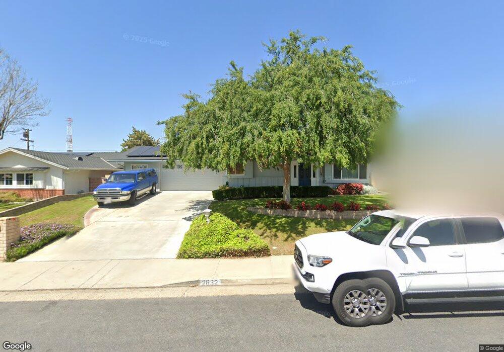
2832 Crest Dr Bakersfield, CA 93306
College Heights NeighborhoodEstimated Value: $316,000 - $397,000
4
Beds
2
Baths
1,767
Sq Ft
$204/Sq Ft
Est. Value
About This Home
This home is located at 2832 Crest Dr, Bakersfield, CA 93306 and is currently estimated at $359,878, approximately $203 per square foot. 2832 Crest Dr is a home located in Kern County with nearby schools including Colonel Howard Nichols Elementary School, Chipman Junior High School, and East Bakersfield High School.
Ownership History
Date
Name
Owned For
Owner Type
Purchase Details
Closed on
Oct 3, 2023
Sold by
Sly Trust
Bought by
Corral Sara and Corral Jonathan
Current Estimated Value
Home Financials for this Owner
Home Financials are based on the most recent Mortgage that was taken out on this home.
Original Mortgage
$299,250
Outstanding Balance
$292,258
Interest Rate
7.12%
Mortgage Type
New Conventional
Estimated Equity
$67,620
Purchase Details
Closed on
Oct 12, 1995
Sold by
Young John Julian and Young Sara Lucretia
Bought by
Young John Julian and Young Sara Lucretia
Create a Home Valuation Report for This Property
The Home Valuation Report is an in-depth analysis detailing your home's value as well as a comparison with similar homes in the area
Home Values in the Area
Average Home Value in this Area
Purchase History
| Date | Buyer | Sale Price | Title Company |
|---|---|---|---|
| Corral Sara | $315,000 | Chicago Title Company | |
| Young John Julian | -- | -- |
Source: Public Records
Mortgage History
| Date | Status | Borrower | Loan Amount |
|---|---|---|---|
| Open | Corral Sara | $299,250 |
Source: Public Records
Tax History
| Year | Tax Paid | Tax Assessment Tax Assessment Total Assessment is a certain percentage of the fair market value that is determined by local assessors to be the total taxable value of land and additions on the property. | Land | Improvement |
|---|---|---|---|---|
| 2025 | $4,332 | $321,300 | $56,100 | $265,200 |
| 2024 | $1,757 | $315,000 | $55,000 | $260,000 |
| 2023 | $1,757 | $98,045 | $16,597 | $81,448 |
| 2022 | $1,704 | $96,124 | $16,272 | $79,852 |
| 2021 | $1,602 | $94,241 | $15,953 | $78,288 |
| 2020 | $1,566 | $93,276 | $15,790 | $77,486 |
| 2019 | $1,534 | $93,276 | $15,790 | $77,486 |
| 2018 | $1,500 | $89,656 | $15,178 | $74,478 |
| 2017 | $1,488 | $87,900 | $14,881 | $73,019 |
| 2016 | $1,381 | $86,178 | $14,590 | $71,588 |
| 2015 | $1,368 | $84,884 | $14,371 | $70,513 |
| 2014 | $1,323 | $83,222 | $14,090 | $69,132 |
Source: Public Records
Map
Nearby Homes
- 2931 Crest Dr
- 2937 Summit Cir
- 2848 Summit Cir
- 3319 Crest Dr
- 2820 Rio Vista Dr
- 3206 Candlewood Dr
- 3905 Noel Place
- 4200 Boise St Unit 16A
- 3319 Candlewood Dr
- 3516 Dana St Unit 3
- 3516 Harmony Dr
- 3612 Christmas Tree Ln
- 3616 Century Dr
- 2624 Renegade Ave
- 3700 Candlewood Dr
- 3609 Cardinal Ave
- 3606 Kaibab Ave
- 3801 Century Dr
- 2712 San Pablo Ave
- 3804 Candlewood Dr
Your Personal Tour Guide
Ask me questions while you tour the home.