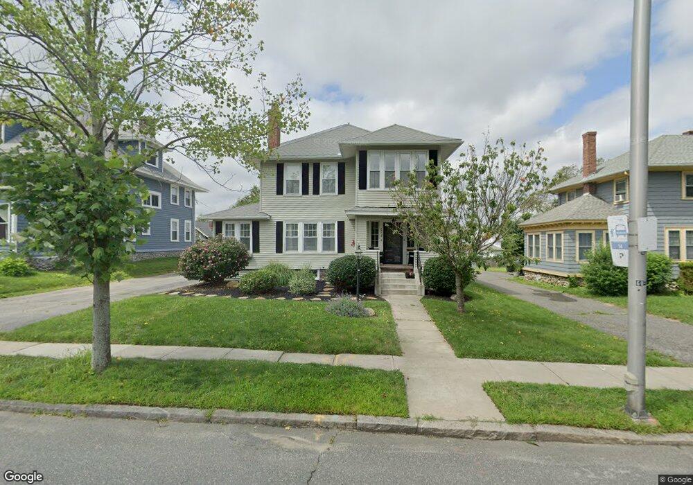
284 Burncoat St Worcester, MA 01606
Greendale NeighborhoodEstimated Value: $615,000 - $698,000
6
Beds
2
Baths
2,960
Sq Ft
$222/Sq Ft
Est. Value
About This Home
This home is located at 284 Burncoat St, Worcester, MA 01606 and is currently estimated at $656,729, approximately $221 per square foot. 284 Burncoat St is a home located in Worcester County with nearby schools including Jacob Hiatt Magnet School, Chandler Magnet, and Thorndyke Road School.
Ownership History
Date
Name
Owned For
Owner Type
Purchase Details
Closed on
Apr 10, 2020
Sold by
Chalifoux Linda
Bought by
Shea Ashley and Cristino Mathew
Current Estimated Value
Home Financials for this Owner
Home Financials are based on the most recent Mortgage that was taken out on this home.
Original Mortgage
$230,000
Outstanding Balance
$203,365
Interest Rate
3.3%
Mortgage Type
New Conventional
Estimated Equity
$453,364
Purchase Details
Closed on
May 1, 1995
Sold by
Est Melican Francis and Melican Denis
Bought by
Loconto Christopher and Loconto Stephanie
Home Financials for this Owner
Home Financials are based on the most recent Mortgage that was taken out on this home.
Original Mortgage
$115,900
Interest Rate
8.33%
Mortgage Type
Purchase Money Mortgage
Create a Home Valuation Report for This Property
The Home Valuation Report is an in-depth analysis detailing your home's value as well as a comparison with similar homes in the area
Home Values in the Area
Average Home Value in this Area
Purchase History
| Date | Buyer | Sale Price | Title Company |
|---|---|---|---|
| Shea Ashley | $370,000 | None Available | |
| Loconto Christopher | $122,000 | -- |
Source: Public Records
Mortgage History
| Date | Status | Borrower | Loan Amount |
|---|---|---|---|
| Open | Shea Ashley | $230,000 | |
| Previous Owner | Loconto Christopher | $136,089 | |
| Previous Owner | Loconto Christopher | $35,000 | |
| Previous Owner | Loconto Christopher | $115,900 |
Source: Public Records
Tax History
| Year | Tax Paid | Tax Assessment Tax Assessment Total Assessment is a certain percentage of the fair market value that is determined by local assessors to be the total taxable value of land and additions on the property. | Land | Improvement |
|---|---|---|---|---|
| 2025 | $8,724 | $661,400 | $118,600 | $542,800 |
| 2024 | $8,334 | $606,100 | $118,600 | $487,500 |
| 2023 | $7,808 | $544,500 | $103,100 | $441,400 |
| 2022 | $7,228 | $475,200 | $82,500 | $392,700 |
| 2021 | $6,341 | $389,500 | $66,000 | $323,500 |
| 2020 | $5,867 | $345,100 | $66,000 | $279,100 |
| 2019 | $5,900 | $327,800 | $59,400 | $268,400 |
| 2018 | $5,768 | $305,000 | $59,400 | $245,600 |
| 2017 | $5,487 | $285,500 | $59,400 | $226,100 |
| 2016 | $5,482 | $266,000 | $43,600 | $222,400 |
| 2015 | $5,339 | $266,000 | $43,600 | $222,400 |
| 2014 | $5,198 | $266,000 | $43,600 | $222,400 |
Source: Public Records
Map
Nearby Homes
- 169 Whitmarsh Ave
- 323 Burncoat St
- 331 Burncoat St
- 66 Eunice Ave
- 39 Whitmarsh Ave
- 58 Osceola Ave
- 15 Ericsson St
- 3205 Halcyon Dr Unit 3205
- 30 Danielles Way
- 13 Fatima Ln
- 45 Goldthwaite Rd
- 12 Erie Ave
- 44 Boardman St
- 39 Bullard Ave
- 31 Boardman St
- 53 Collins St
- 30 Melrose St
- 22 Huron Ave
- 41 Mohave Rd
- 37 Mohave Rd
- 286 Burncoat St
- 282 Burncoat St
- 74 Hillcroft Ave
- 278 Burncoat St
- 288 Burncoat St
- 76 Hillcroft Ave
- 64 Hillcroft Ave
- 281 Burncoat St
- 292 Burncoat St
- 7 Devens Rd
- 62 Hillcroft Ave
- 1 Devens Rd
- 276 Burncoat St
- 2 Devens Rd
- 1 Bellingham Rd
- 289 Burncoat St
- 54 Hillcroft Ave
- 69 Hillcroft Ave
- 67 Hillcroft Ave
- 4 Devens Rd
Your Personal Tour Guide
Ask me questions while you tour the home.