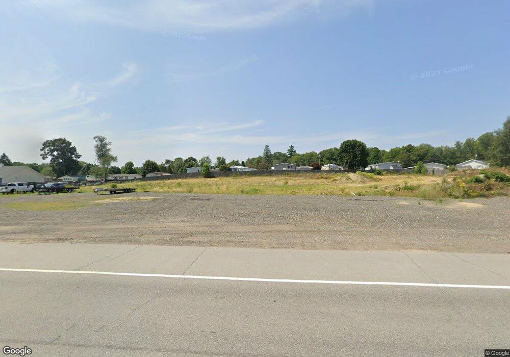
284 Calef Highway (Route 125) Epping, NH 03042
Estimated Value: $555,948
--
Bed
--
Bath
--
Sq Ft
2.15
Acres
About This Home
This home is located at 284 Calef Highway (Route 125), Epping, NH 03042 and is currently estimated at $555,948. 284 Calef Highway (Route 125) is a home located in Rockingham County with nearby schools including Epping Elementary School, Epping Middle School, and Epping High School.
Ownership History
Date
Name
Owned For
Owner Type
Purchase Details
Closed on
Oct 28, 2020
Sold by
Wilfred Cloutier Ret
Bought by
Calef Highway 276 Llc
Current Estimated Value
Home Financials for this Owner
Home Financials are based on the most recent Mortgage that was taken out on this home.
Original Mortgage
$195,000
Outstanding Balance
$173,522
Interest Rate
2.8%
Mortgage Type
New Conventional
Estimated Equity
$382,426
Purchase Details
Closed on
Feb 21, 2003
Sold by
Taube Realty
Bought by
Cloutier Wilfred
Create a Home Valuation Report for This Property
The Home Valuation Report is an in-depth analysis detailing your home's value as well as a comparison with similar homes in the area
Home Values in the Area
Average Home Value in this Area
Purchase History
| Date | Buyer | Sale Price | Title Company |
|---|---|---|---|
| Calef Highway 276 Llc | $350,000 | None Available | |
| Cloutier Wilfred | $200,000 | -- |
Source: Public Records
Mortgage History
| Date | Status | Borrower | Loan Amount |
|---|---|---|---|
| Open | Calef Highway 276 Llc | $195,000 |
Source: Public Records
Tax History Compared to Growth
Tax History
| Year | Tax Paid | Tax Assessment Tax Assessment Total Assessment is a certain percentage of the fair market value that is determined by local assessors to be the total taxable value of land and additions on the property. | Land | Improvement |
|---|---|---|---|---|
| 2024 | $8,248 | $326,900 | $326,900 | $0 |
| 2023 | $7,649 | $326,900 | $326,900 | $0 |
| 2022 | $7,352 | $326,900 | $326,900 | $0 |
| 2021 | $7,329 | $326,900 | $326,900 | $0 |
| 2020 | $4,873 | $326,900 | $326,900 | $0 |
| 2019 | $7,856 | $283,600 | $283,600 | $0 |
| 2018 | $12,262 | $472,700 | $472,700 | $0 |
| 2017 | $12,262 | $472,700 | $472,700 | $0 |
| 2016 | $12,262 | $472,700 | $472,700 | $0 |
| 2015 | $12,262 | $472,700 | $472,700 | $0 |
| 2014 | $11,543 | $472,700 | $472,700 | $0 |
| 2013 | $11,472 | $472,700 | $472,700 | $0 |
Source: Public Records
Map
Nearby Homes
- 3A Lunas Ave
- 9A Lunas Ave
- 16B Lunas Ave
- 3A Lunas Ave Unit A
- 19 Biggs Ave Unit B
- 110 Main St
- 11 Three Ponds Dr
- 13 Elm St
- 1 Annika Lee Dr Unit B
- 5 Sunset Ln Unit A
- 290 Calef Hwy Unit A 20
- 290 Calef Hwy Unit A6
- The Leyland Plan at Pleasant View Farm
- The Ridgemont Plan at Pleasant View Farm
- The Laurel Plan at Pleasant View Farm
- The Rosewood Plan at Pleasant View Farm
- 21A Highland Ave Unit 21A
- 27 Mulberry Ln
- 1B Connor Ct Unit 1B
- 9A Connor Ct Unit 9A
- 0 Calef Unit 4671304
- 0 Route 125
- 0 Route 125 Unit 4702960
- 0 Route 125 Unit 2814124
- 0 Main St
- 23 Fresh River Rd
- 0 Fresh River Rd Unit Map 29, Block 283, L
- 0 Fresh River Rd
- 85 Calef Hwy
- 12 Main St
- 86 Calef Hwy
- 98 Railroad Ave
- 106 Railroad Ave
- 99 Calef Hwy
- 14 Main St
- 96 Calef Hwy Unit D
- 96 Calef Hwy Unit B
- 96 Calef Hwy
- 16 Leddy Dr
- 17 Leddy Dr