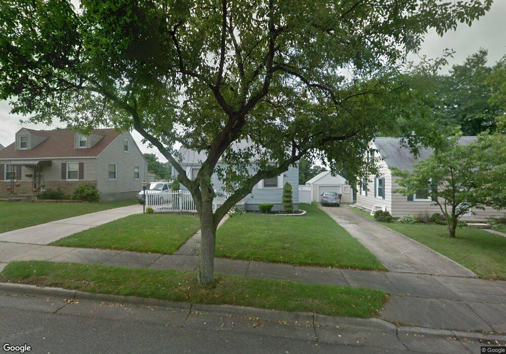
284 E Linwood Ave Akron, OH 44301
Firestone Park NeighborhoodEstimated Value: $114,317 - $142,000
2
Beds
1
Bath
750
Sq Ft
$170/Sq Ft
Est. Value
About This Home
This home is located at 284 E Linwood Ave, Akron, OH 44301 and is currently estimated at $127,579, approximately $170 per square foot. 284 E Linwood Ave is a home located in Summit County with nearby schools including Kenmore Garfield Community Learning Center, Main Preparatory Academy, and Eagle Elementary.
Ownership History
Date
Name
Owned For
Owner Type
Purchase Details
Closed on
Apr 2, 2008
Sold by
Biggins Bordner Cheryl and Bordner Clark
Bought by
Scofield Donald L
Current Estimated Value
Home Financials for this Owner
Home Financials are based on the most recent Mortgage that was taken out on this home.
Original Mortgage
$52,800
Outstanding Balance
$33,794
Interest Rate
6.17%
Mortgage Type
Purchase Money Mortgage
Estimated Equity
$93,785
Purchase Details
Closed on
Aug 17, 2006
Sold by
Estate Of Sheldon V Cochran
Bought by
Biggins Bordner Cheryl and Cochran David B
Purchase Details
Closed on
Feb 6, 2006
Sold by
Estate Of George B Cochran
Bought by
Cochran Sheldon
Create a Home Valuation Report for This Property
The Home Valuation Report is an in-depth analysis detailing your home's value as well as a comparison with similar homes in the area
Home Values in the Area
Average Home Value in this Area
Purchase History
| Date | Buyer | Sale Price | Title Company |
|---|---|---|---|
| Scofield Donald L | $66,000 | Attorney | |
| Biggins Bordner Cheryl | -- | None Available | |
| Cochran Sheldon | -- | None Available |
Source: Public Records
Mortgage History
| Date | Status | Borrower | Loan Amount |
|---|---|---|---|
| Open | Scofield Donald L | $52,800 |
Source: Public Records
Tax History Compared to Growth
Tax History
| Year | Tax Paid | Tax Assessment Tax Assessment Total Assessment is a certain percentage of the fair market value that is determined by local assessors to be the total taxable value of land and additions on the property. | Land | Improvement |
|---|---|---|---|---|
| 2025 | $1,847 | $33,446 | $9,135 | $24,311 |
| 2024 | $1,847 | $33,446 | $9,135 | $24,311 |
| 2023 | $1,847 | $33,446 | $9,135 | $24,311 |
| 2022 | $1,744 | $24,718 | $6,619 | $18,099 |
| 2021 | $1,746 | $24,718 | $6,619 | $18,099 |
| 2020 | $1,721 | $24,720 | $6,620 | $18,100 |
| 2019 | $1,738 | $22,700 | $6,620 | $16,080 |
| 2018 | $1,715 | $22,700 | $6,620 | $16,080 |
| 2017 | $1,741 | $22,700 | $6,620 | $16,080 |
| 2016 | $1,743 | $22,700 | $6,620 | $16,080 |
| 2015 | $1,741 | $22,700 | $6,620 | $16,080 |
| 2014 | $1,728 | $22,700 | $6,620 | $16,080 |
| 2013 | $1,700 | $22,780 | $6,620 | $16,160 |
Source: Public Records
Map
Nearby Homes
- 291 Selden Ave
- 315 Clinton Ave
- 146 E Woodsdale Ave
- 739 S Firestone Blvd
- 79 Selden Ave
- 1614 Glenmount Ave
- 361 Mission Dr
- 74 E Catawba Ave
- 40 E Dresden Ave
- 1637 Rockford St
- 37 Selden Ave
- 23 Selden Ave
- 1699 Redwood Ave
- 1635 Brown St
- 1698 Sunset Ave
- 1595 Evergreen Ave
- 17 W Woodsdale Ave
- 1638 Sunset Ave
- 1663 Sunset Ave
- 1861 S Main St
- 288 E Linwood Ave
- 278 E Linwood Ave
- 296 E Linwood Ave
- 285 E Woodsdale Ave
- 285 E Woodsdale Ave
- 1901 Thornapple Ave
- 1893 Thornapple Ave
- 279 E Woodsdale Ave
- 1905 Thornapple Ave
- 277 E Linwood Ave
- 300 E Linwood Ave
- 285 E Linwood Ave
- 295 E Woodsdale Ave
- 291 E Woodsdale Ave
- 293 E Linwood Ave
- 271 E Linwood Ave
- 1913 Thornapple Ave
- 299 E Linwood Ave
- 1875 Thornapple Ave
- 308 E Linwood Ave