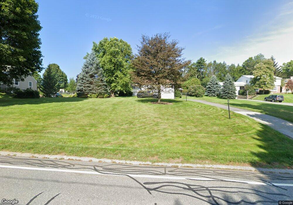
284 Maple St West Boylston, MA 01583
Estimated Value: $601,132 - $914,000
3
Beds
3
Baths
1,593
Sq Ft
$434/Sq Ft
Est. Value
About This Home
This home is located at 284 Maple St, West Boylston, MA 01583 and is currently estimated at $692,033, approximately $434 per square foot. 284 Maple St is a home located in Worcester County with nearby schools including Major Edwards Elementary School, West Boylston Junior/Senior High School, and Abby Kelley Foster Charter Public School.
Ownership History
Date
Name
Owned For
Owner Type
Purchase Details
Closed on
Oct 28, 2011
Sold by
Linna Robert E and Linna Connie A
Bought by
Creelman Joshua O and Creelman Andrea L
Current Estimated Value
Home Financials for this Owner
Home Financials are based on the most recent Mortgage that was taken out on this home.
Original Mortgage
$263,155
Outstanding Balance
$180,224
Interest Rate
4.11%
Mortgage Type
FHA
Estimated Equity
$511,809
Purchase Details
Closed on
Nov 8, 1988
Sold by
Bourgeois Richard H
Bought by
Draleaus Gary J
Home Financials for this Owner
Home Financials are based on the most recent Mortgage that was taken out on this home.
Original Mortgage
$142,000
Interest Rate
10.33%
Mortgage Type
Purchase Money Mortgage
Create a Home Valuation Report for This Property
The Home Valuation Report is an in-depth analysis detailing your home's value as well as a comparison with similar homes in the area
Home Values in the Area
Average Home Value in this Area
Purchase History
| Date | Buyer | Sale Price | Title Company |
|---|---|---|---|
| Creelman Joshua O | $283,500 | -- | |
| Draleaus Gary J | $202,000 | -- |
Source: Public Records
Mortgage History
| Date | Status | Borrower | Loan Amount |
|---|---|---|---|
| Open | Creelman Joshua O | $263,155 | |
| Previous Owner | Draleaus Gary J | $150,000 | |
| Previous Owner | Draleaus Gary J | $25,000 | |
| Previous Owner | Draleaus Gary J | $142,000 | |
| Previous Owner | Draleaus Gary J | $68,000 |
Source: Public Records
Tax History Compared to Growth
Tax History
| Year | Tax Paid | Tax Assessment Tax Assessment Total Assessment is a certain percentage of the fair market value that is determined by local assessors to be the total taxable value of land and additions on the property. | Land | Improvement |
|---|---|---|---|---|
| 2025 | $81 | $581,300 | $116,200 | $465,100 |
| 2024 | $7,405 | $501,000 | $116,200 | $384,800 |
| 2023 | $7,171 | $460,300 | $114,700 | $345,600 |
| 2022 | $6,969 | $394,200 | $114,700 | $279,500 |
| 2021 | $6,832 | $370,100 | $105,800 | $264,300 |
| 2020 | $6,778 | $364,800 | $105,800 | $259,000 |
| 2019 | $6,548 | $347,400 | $105,800 | $241,600 |
| 2018 | $6,032 | $322,200 | $105,800 | $216,400 |
| 2017 | $5,730 | $304,800 | $105,800 | $199,000 |
| 2016 | $5,282 | $286,300 | $98,300 | $188,000 |
| 2015 | $5,016 | $273,500 | $97,400 | $176,100 |
Source: Public Records
Map
Nearby Homes
- 1 Highland Ave
- 12 Birchbrush Ln
- 740 Burncoat St Unit B
- 39 Davidson Rd
- 156 Hillside Village Dr
- 33 Meola Ave
- 39 Meola Ave
- 1110 W Boylston St Unit A
- 33 Isleboro St
- 29 Isleboro St
- 1097 W Boylston St
- 83 Hillside Village Dr
- 97 Hillside Village Dr
- 59 Santoro Rd
- 44 Dixfield St
- 62 Maple St
- 22 Danielles Way
- 26 Danielles Way
- 31 Danielles Way
- 54 Maple St