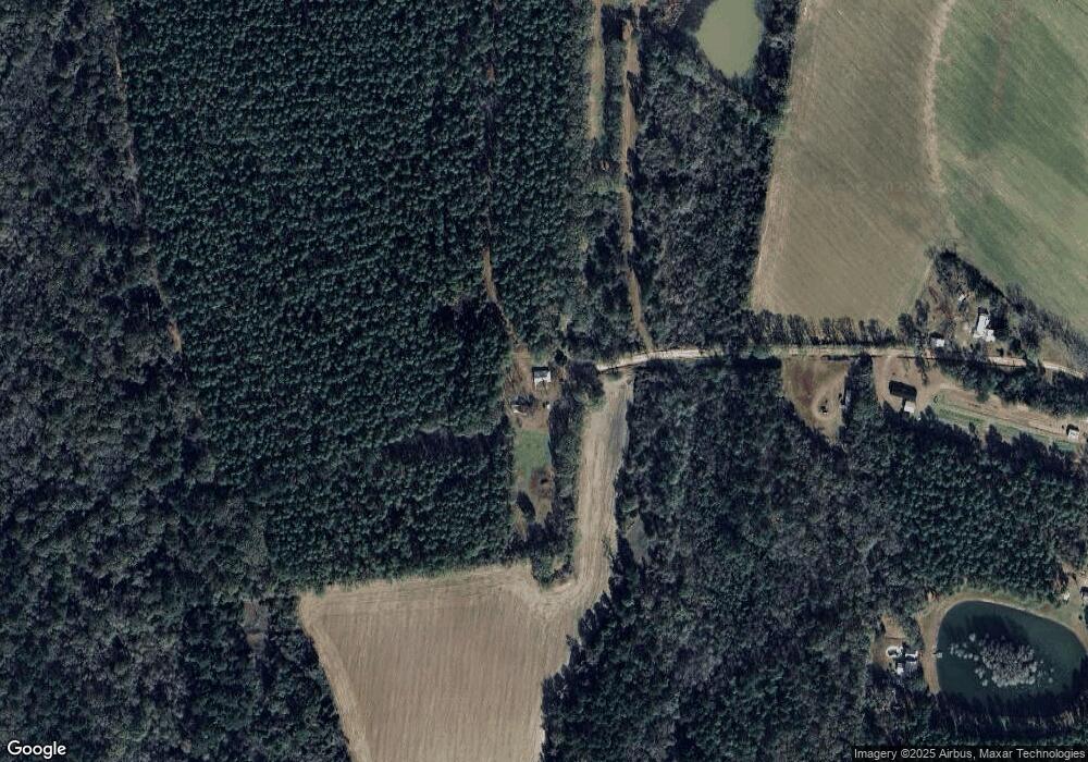
284 Tim and Sallys Ln Moultrie, GA 31788
Estimated Value: $85,443 - $115,000
--
Bed
2
Baths
1,147
Sq Ft
$87/Sq Ft
Est. Value
About This Home
This home is located at 284 Tim and Sallys Ln, Moultrie, GA 31788 and is currently estimated at $100,111, approximately $87 per square foot. 284 Tim and Sallys Ln is a home located in Colquitt County with nearby schools including Odom Elementary School, Willie J. Williams Middle School, and C.A. Gray Junior High School.
Ownership History
Date
Name
Owned For
Owner Type
Purchase Details
Closed on
Nov 13, 2020
Sold by
Hilton Alesia C
Bought by
Hilton Matthew Chadwick and Hilton Jessica Joleen
Current Estimated Value
Home Financials for this Owner
Home Financials are based on the most recent Mortgage that was taken out on this home.
Original Mortgage
$29,000
Interest Rate
2.8%
Mortgage Type
New Conventional
Purchase Details
Closed on
Apr 4, 1996
Bought by
Hilton Roger D
Purchase Details
Closed on
Dec 21, 1991
Bought by
Hilton Roger D
Create a Home Valuation Report for This Property
The Home Valuation Report is an in-depth analysis detailing your home's value as well as a comparison with similar homes in the area
Home Values in the Area
Average Home Value in this Area
Purchase History
| Date | Buyer | Sale Price | Title Company |
|---|---|---|---|
| Hilton Matthew Chadwick | $32,500 | -- | |
| Hilton Roger D | -- | -- | |
| Hilton Roger D | -- | -- |
Source: Public Records
Mortgage History
| Date | Status | Borrower | Loan Amount |
|---|---|---|---|
| Closed | Hilton Matthew Chadwick | $29,000 |
Source: Public Records
Tax History Compared to Growth
Tax History
| Year | Tax Paid | Tax Assessment Tax Assessment Total Assessment is a certain percentage of the fair market value that is determined by local assessors to be the total taxable value of land and additions on the property. | Land | Improvement |
|---|---|---|---|---|
| 2024 | $701 | $32,051 | $4,759 | $27,292 |
| 2023 | $676 | $21,775 | $4,759 | $17,016 |
| 2022 | $496 | $20,833 | $4,229 | $16,604 |
| 2021 | $542 | $22,307 | $4,229 | $18,078 |
| 2020 | $449 | $20,184 | $4,229 | $15,955 |
| 2019 | $504 | $20,331 | $4,229 | $16,102 |
| 2018 | $520 | $20,331 | $4,229 | $16,102 |
| 2017 | $561 | $22,608 | $6,506 | $16,102 |
| 2015 | $574 | $22,608 | $6,506 | $16,102 |
| 2014 | $563 | $22,608 | $6,506 | $16,102 |
| 2013 | -- | $22,608 | $6,506 | $16,102 |
Source: Public Records
Map
Nearby Homes
- 5808 Georgia 133
- 0 Upper Trail Unit 913421
- 0 Upper Trail Unit 913422
- 313 Langford St
- 410 Railroad St
- 0 Southerland Ave
- 277 Indian Creek Subdivision
- 2262 Sardis Church Rd
- 182 Horseshoe Dr
- 1114 Cannon Rd
- 0 Sardis Church Rd
- 8774 Antioch Rd
- 124 Flint Dr
- 5940 Georgia 37
- 132 Tallokas Trail
- 9283 Tallokas Rd Unit 54/13
- 9283 Tallokas Rd
- 270 Old Timey Trail
- 48 Packer Pride Dr SE
- 65 Packer Pride Dr SE
- 185 Tim and Sallys Ln
- 275 Dandron Rd
- 280 Tim and Sallys Ln
- 276 Dandron Rd
- 267 Dandron Rd
- 826 Perry Rd
- 156 Tim and Sallys Ln
- 900 Perry Rd
- 262 Dandron Rd
- 175 Janette Ln
- 171 Janette Ln
- 238 Dandron Rd
- 180 Janette Ln
- 844 Perry Rd
- 241 Dandron Rd
- 155 Janette Ln
- 176 Janette Ln
- 855 Perry Rd
- 125 Janette Ln
- 120 Janette Ln
