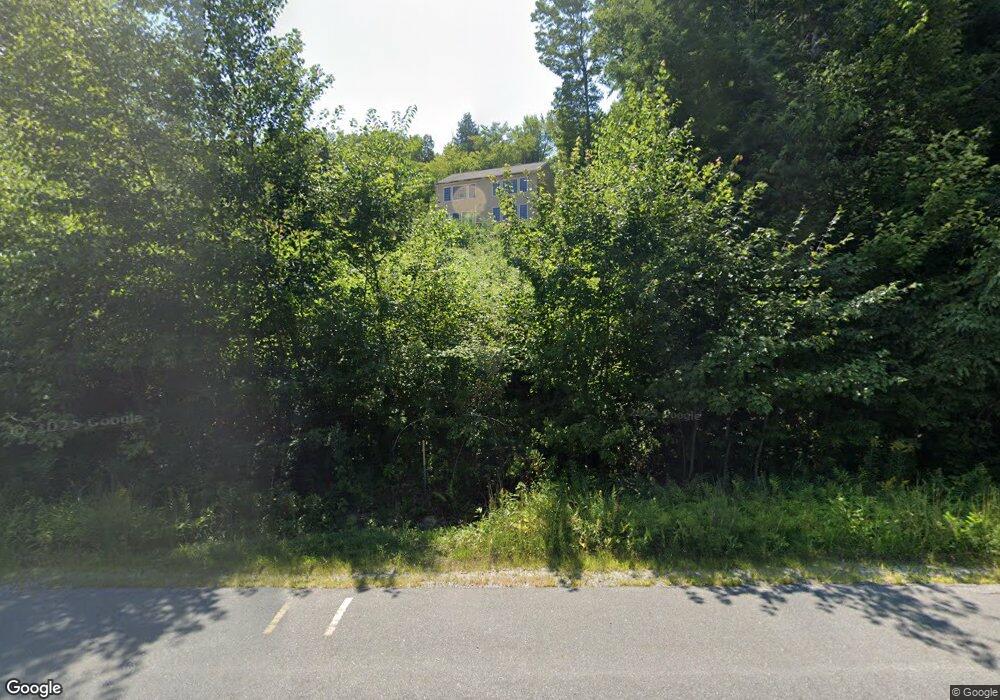
2845 State Route 114 Bradford, NH 03221
Estimated Value: $583,000 - $624,000
3
Beds
3
Baths
2,718
Sq Ft
$222/Sq Ft
Est. Value
About This Home
This home is located at 2845 State Route 114, Bradford, NH 03221 and is currently estimated at $603,400, approximately $222 per square foot. 2845 State Route 114 is a home located in Merrimack County with nearby schools including Kearsarge Regional Elementary School at Bradford, Kearsarge Regional Middle School, and Kearsarge Regional High School.
Ownership History
Date
Name
Owned For
Owner Type
Purchase Details
Closed on
Aug 21, 2024
Sold by
Cahill Allen B
Bought by
Allen B Cahill Ret and Cahill
Current Estimated Value
Purchase Details
Closed on
Oct 6, 2008
Sold by
Colby Wayne and Colby Marie
Bought by
Cahill Allen B
Home Financials for this Owner
Home Financials are based on the most recent Mortgage that was taken out on this home.
Original Mortgage
$125,000
Interest Rate
6.54%
Mortgage Type
Purchase Money Mortgage
Create a Home Valuation Report for This Property
The Home Valuation Report is an in-depth analysis detailing your home's value as well as a comparison with similar homes in the area
Home Values in the Area
Average Home Value in this Area
Purchase History
| Date | Buyer | Sale Price | Title Company |
|---|---|---|---|
| Allen B Cahill Ret | -- | None Available | |
| Allen B Cahill Ret | -- | None Available | |
| Cahill Allen B | $38,000 | -- | |
| Cahill Allen B | $38,000 | -- |
Source: Public Records
Mortgage History
| Date | Status | Borrower | Loan Amount |
|---|---|---|---|
| Previous Owner | Cahill Allen B | $125,000 |
Source: Public Records
Tax History Compared to Growth
Tax History
| Year | Tax Paid | Tax Assessment Tax Assessment Total Assessment is a certain percentage of the fair market value that is determined by local assessors to be the total taxable value of land and additions on the property. | Land | Improvement |
|---|---|---|---|---|
| 2024 | $7,612 | $483,900 | $159,700 | $324,200 |
| 2023 | $7,834 | $281,800 | $87,700 | $194,100 |
| 2022 | $6,958 | $281,800 | $87,700 | $194,100 |
| 2021 | $6,738 | $281,800 | $87,700 | $194,100 |
| 2020 | $6,724 | $281,800 | $87,700 | $194,100 |
| 2019 | $6,296 | $225,600 | $56,200 | $169,400 |
| 2018 | $6,080 | $225,600 | $56,200 | $169,400 |
| 2017 | $5,956 | $225,600 | $56,200 | $169,400 |
| 2016 | $204 | $225,600 | $56,200 | $169,400 |
| 2015 | $5,670 | $210,300 | $56,200 | $154,100 |
| 2014 | $5,750 | $247,100 | $75,800 | $171,300 |
| 2013 | $5,540 | $247,100 | $75,800 | $171,300 |
Source: Public Records
Map
Nearby Homes
- 45 Crittenden Rd
- 257 Jackson Rd
- 337 Rowe Mountain Rd
- 71 Melvin Rd
- 0 Bagley Hill Rd
- 64 Rowe Mountain Rd
- 5 Greenhouse Ln
- 55 Water St
- 26 Butman Rd
- 86 Route 103
- 338 E Washington Rd
- 375 West Rd
- 44 Pleasant View Rd
- 00 Fairgrounds Rd Unit 5
- 17 Jolly Farm Rd
- 000 Route 114 Unit 168
- 2024 Route 114
- 2400 Route 114
- 1 Gridley St
- 0 Waldron Hill Rd Unit 30-2-3
- 2847 State Route 114
- 2798 W Shore Ln
- 2804 W Shore Ln
- 2800 W Shore Ln
- 2788 W Shore Ln
- 2871 New Hampshire 114
- 2871 State Route 114
- 2818 W Shore Ln
- 2812 W Shore Ln
- 6 Forest St
- 52 Frenchs Park Rd
- 00 114
- 567 Route 114
- 111 Route 114
- 46 Frenchs Park Rd
- 11 Forest St
- 00 Forest St
- 42 Frenchs Park Rd
- 2761 State Route 114
- 17 Forest St