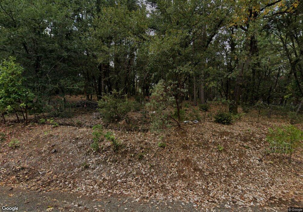
2848 Lawyer Dr Placerville, CA 95667
Estimated Value: $70,022 - $255,000
--
Bed
--
Bath
--
Sq Ft
2
Acres
About This Home
This home is located at 2848 Lawyer Dr, Placerville, CA 95667 and is currently estimated at $117,506. 2848 Lawyer Dr is a home located in El Dorado County with nearby schools including El Dorado High School.
Ownership History
Date
Name
Owned For
Owner Type
Purchase Details
Closed on
Aug 14, 2006
Sold by
Mitchell Tom J and Cram Laura
Bought by
Mitchell Tom J and Mitchell Laura
Current Estimated Value
Purchase Details
Closed on
May 22, 2006
Sold by
Cram Marvin L and Cram Luann M
Bought by
Mitchell Tom J and Cram Laura
Purchase Details
Closed on
Aug 29, 2002
Sold by
Moretti Donald
Bought by
Cram Laura and Mitchell Tom J
Home Financials for this Owner
Home Financials are based on the most recent Mortgage that was taken out on this home.
Original Mortgage
$20,930
Interest Rate
6.43%
Purchase Details
Closed on
Mar 17, 1994
Sold by
Highfill Greg S and Highfill Mary J
Bought by
Moretti Donald
Home Financials for this Owner
Home Financials are based on the most recent Mortgage that was taken out on this home.
Original Mortgage
$16,900
Interest Rate
7.21%
Mortgage Type
Seller Take Back
Create a Home Valuation Report for This Property
The Home Valuation Report is an in-depth analysis detailing your home's value as well as a comparison with similar homes in the area
Home Values in the Area
Average Home Value in this Area
Purchase History
| Date | Buyer | Sale Price | Title Company |
|---|---|---|---|
| Mitchell Tom J | -- | None Available | |
| Mitchell Tom J | -- | None Available | |
| Cram Laura | $30,000 | Placer Title Company | |
| Moretti Donald | $20,000 | Placer Title Company |
Source: Public Records
Mortgage History
| Date | Status | Borrower | Loan Amount |
|---|---|---|---|
| Previous Owner | Cram Laura | $20,930 | |
| Previous Owner | Moretti Donald | $16,900 |
Source: Public Records
Tax History Compared to Growth
Tax History
| Year | Tax Paid | Tax Assessment Tax Assessment Total Assessment is a certain percentage of the fair market value that is determined by local assessors to be the total taxable value of land and additions on the property. | Land | Improvement |
|---|---|---|---|---|
| 2025 | $476 | $26,000 | $26,000 | -- |
| 2024 | $476 | $26,000 | $26,000 | -- |
| 2023 | $478 | $26,000 | $26,000 | $0 |
| 2022 | $479 | $26,000 | $26,000 | $0 |
| 2021 | $482 | $26,000 | $26,000 | $0 |
| 2020 | $480 | $26,000 | $26,000 | $0 |
| 2019 | $483 | $26,000 | $26,000 | $0 |
| 2018 | $480 | $26,000 | $26,000 | $0 |
| 2017 | $471 | $25,000 | $25,000 | $0 |
| 2016 | $473 | $25,000 | $25,000 | $0 |
| 2015 | $459 | $24,000 | $24,000 | $0 |
| 2014 | $459 | $24,000 | $24,000 | $0 |
Source: Public Records
Map
Nearby Homes
- 2629 Shilo Dr
- 2721 Dyer Way
- 9030 Orval Beckett Ct
- 6570 Mosquito Rd
- 3192 Buckeye Ct
- 6060 Keeble Ln
- 3233 Running Quail Ct
- 3196 Pine Cone Ct
- 3191 Pine Cone Ct
- 3814 Stope Dr
- 3553 Lupine Ln
- 6560 Log Cabin Ln
- 2227 Swansboro Rd
- 6324 Dickinson Rd
- 2700 Dancing Oaks Rd
- 3000 Gravel Ct
- 2640 Sky Ranch Ln
- 1638 Swansboro Rd
- 7161 Kona Dr
- 1610 Swansboro Rd
- 7106 Indian Way
- 7122 Indian Way
- 2830 Lawyer Dr
- 2835 Lawyer Dr
- 7136 Indian Way
- 2875 Lawyer Dr
- 2810 Lawyer Dr
- 2890 Lawyer Dr
- 2890 Lawyer Dr
- 2817 Lawyer Dr
- 2901 Lawyer Dr
- 2801 Lawyer Dr
- 2914 Lawyer Dr
- 7135 Indian Way
- 3106 Buckboard Rd
- 2870 Gold Trail
- 2852 Gold Trail
- 2820 Gold Trail
- 3092 Buckboard Rd
- 2934 Lawyer Dr