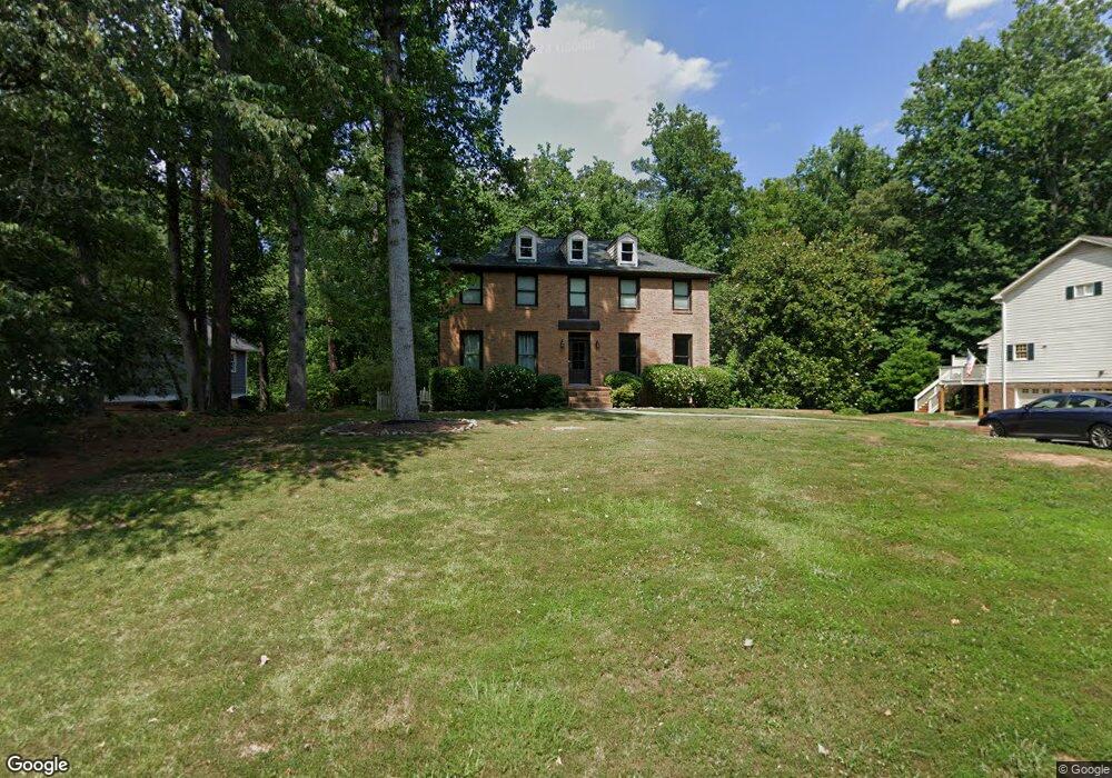
285 Millbrook Trace Unit 2 Marietta, GA 30068
East Cobb NeighborhoodEstimated Value: $506,078 - $598,000
4
Beds
3
Baths
2,196
Sq Ft
$254/Sq Ft
Est. Value
About This Home
This home is located at 285 Millbrook Trace Unit 2, Marietta, GA 30068 and is currently estimated at $557,770, approximately $253 per square foot. 285 Millbrook Trace Unit 2 is a home located in Cobb County with nearby schools including Eastvalley Elementary School, East Cobb Middle School, and Wheeler High School.
Ownership History
Date
Name
Owned For
Owner Type
Purchase Details
Closed on
Jul 30, 2018
Sold by
Fleming Joseph Thomas
Bought by
Young Elizabeth Ann
Current Estimated Value
Purchase Details
Closed on
Jun 26, 2002
Sold by
Chapovsky Arkady and Chapovsky Galina
Bought by
Fleming Joseph T
Home Financials for this Owner
Home Financials are based on the most recent Mortgage that was taken out on this home.
Original Mortgage
$196,000
Interest Rate
6.75%
Mortgage Type
New Conventional
Create a Home Valuation Report for This Property
The Home Valuation Report is an in-depth analysis detailing your home's value as well as a comparison with similar homes in the area
Home Values in the Area
Average Home Value in this Area
Purchase History
| Date | Buyer | Sale Price | Title Company |
|---|---|---|---|
| Young Elizabeth Ann | -- | -- | |
| Fleming Joseph T | $245,000 | -- |
Source: Public Records
Mortgage History
| Date | Status | Borrower | Loan Amount |
|---|---|---|---|
| Previous Owner | Fleming Joseph T | $196,000 |
Source: Public Records
Tax History Compared to Growth
Tax History
| Year | Tax Paid | Tax Assessment Tax Assessment Total Assessment is a certain percentage of the fair market value that is determined by local assessors to be the total taxable value of land and additions on the property. | Land | Improvement |
|---|---|---|---|---|
| 2025 | $4,310 | $176,204 | $46,000 | $130,204 |
| 2024 | $4,314 | $176,204 | $46,000 | $130,204 |
| 2023 | $3,827 | $178,776 | $36,000 | $142,776 |
| 2022 | $3,648 | $144,288 | $36,000 | $108,288 |
| 2021 | $3,648 | $144,288 | $36,000 | $108,288 |
| 2020 | $3,417 | $133,696 | $36,000 | $97,696 |
| 2019 | $3,042 | $116,588 | $36,000 | $80,588 |
| 2018 | $2,815 | $106,228 | $24,000 | $82,228 |
| 2017 | $2,689 | $106,228 | $24,000 | $82,228 |
| 2016 | $2,465 | $95,960 | $24,000 | $71,960 |
| 2015 | $2,526 | $95,960 | $24,000 | $71,960 |
| 2014 | $2,087 | $79,064 | $0 | $0 |
Source: Public Records
Map
Nearby Homes
- 2790 Burtz Dr
- 2811 Georgian Terrace Unit 5
- 2851 Dale Dr
- 29 Rhodes Dr
- 11 Cecil Dr
- 470 Manor Oak Ln SE
- 61 Holt Rd NE
- 302 Chase Ln
- 560 Park Ln SE
- 654 Grove Pkwy SE
- 2514 Sunny Ln SE
- 2490 Freydale Rd SE
- 15 Vickwood Ct NE
- 3048 Haverford Ln SE
- 489 Little Rd SE
- 180 Blue Sky Dr
- 2431 Weatherford Ct
- 558 Lullingstone Dr SE
- 663 Foxcroft Cir SE
- 2310 Old Sewell Rd
- 305 Millbrook Trace
- 265 Millbrook Trace
- 245 Millbrook Trace
- 315 Millbrook Trace
- 204 Millbrook Farm Rd
- 204 Millbrook Farm Rd
- 280 Millbrook Trace
- 194 Millbrook Farm Rd
- 214 Millbrook Farm Rd
- 2805 Burtz Dr
- 235 Millbrook Trace
- 325 Millbrook Trace
- 224 Millbrook Farm Rd
- 224 Millbrook Farm Rd
- 184 Millbrook Farm Rd Unit 1
- 260 Millbrook Trace
- 240 Millbrook Trace
- 215 Millbrook Trace
- 2797 Burtz Dr
- 238 Millbrook Farm Rd