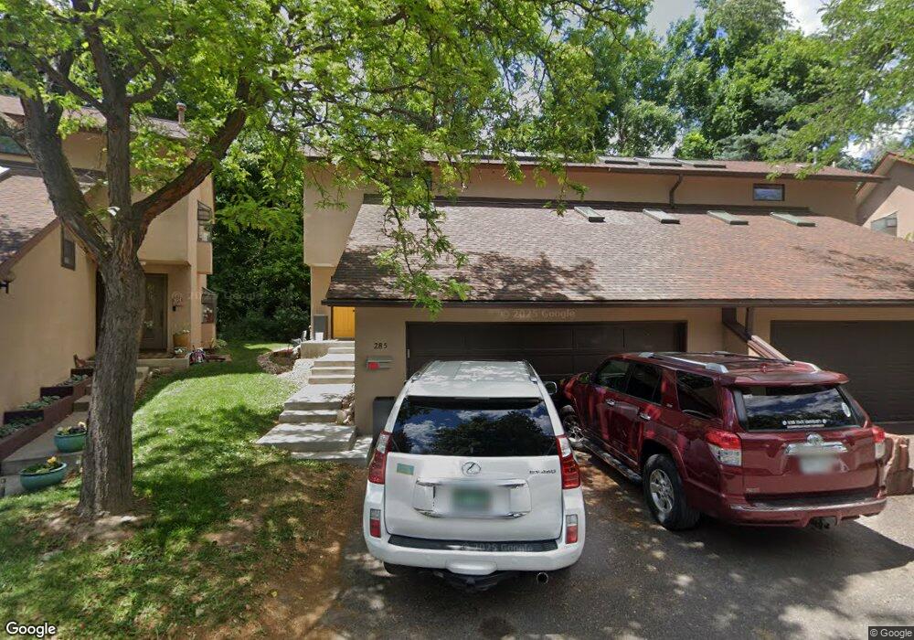
285 Spruce Ct Boulder, CO 80302
Mapleton Hill NeighborhoodEstimated Value: $1,111,000 - $1,904,000
4
Beds
3
Baths
1,376
Sq Ft
$1,067/Sq Ft
Est. Value
About This Home
This home is located at 285 Spruce Ct, Boulder, CO 80302 and is currently estimated at $1,467,595, approximately $1,066 per square foot. 285 Spruce Ct is a home located in Boulder County with nearby schools including Whittier Elementary School, Casey Middle School, and Boulder High School.
Ownership History
Date
Name
Owned For
Owner Type
Purchase Details
Closed on
Jan 11, 2011
Sold by
Barksdale Kay Elizabeth
Bought by
Romine Michael W
Current Estimated Value
Purchase Details
Closed on
Nov 6, 2010
Sold by
Romine Michael W
Bought by
Romine Michael W
Purchase Details
Closed on
Aug 3, 1977
Bought by
Romine Michael W & Kay E Barksdale Trust
Create a Home Valuation Report for This Property
The Home Valuation Report is an in-depth analysis detailing your home's value as well as a comparison with similar homes in the area
Home Values in the Area
Average Home Value in this Area
Purchase History
| Date | Buyer | Sale Price | Title Company |
|---|---|---|---|
| Romine Michael W | -- | None Available | |
| Romine Michael W | -- | None Available | |
| Romine Michael W & Kay E Barksdale Trust | $80,500 | -- |
Source: Public Records
Tax History
| Year | Tax Paid | Tax Assessment Tax Assessment Total Assessment is a certain percentage of the fair market value that is determined by local assessors to be the total taxable value of land and additions on the property. | Land | Improvement |
|---|---|---|---|---|
| 2025 | $8,590 | $95,000 | $54,631 | $40,369 |
| 2024 | $8,590 | $95,000 | $54,631 | $40,369 |
| 2023 | $8,438 | $96,842 | $57,010 | $43,517 |
| 2022 | $8,357 | $89,183 | $47,830 | $41,353 |
| 2021 | $7,972 | $91,749 | $49,206 | $42,543 |
| 2020 | $7,606 | $87,381 | $40,827 | $46,554 |
| 2019 | $7,490 | $87,381 | $40,827 | $46,554 |
| 2018 | $7,171 | $82,714 | $38,160 | $44,554 |
| 2017 | $6,947 | $91,444 | $42,188 | $49,256 |
| 2016 | $5,663 | $65,416 | $33,512 | $31,904 |
| 2015 | $5,362 | $50,626 | $17,910 | $32,716 |
| 2014 | $4,257 | $50,626 | $17,910 | $32,716 |
Source: Public Records
Map
Nearby Homes
- 545 Pearl St
- 349 W Arapahoe Ln
- 613 Pine St
- 620 Pearl St Unit C
- 2409 5th St
- 604 Mapleton Ave
- 350 Arapahoe Ave Unit 17
- 5228 Sunshine Canyon Dr
- 5405 Sunshine Canyon Dr
- 2449 5th St
- 3561 Sunshine Canyon Dr
- 1628 4th St
- 465 Marine St
- 643 Mapleton Ave
- 745 Highland Ave
- 854 Walnut St Unit D
- 715 Arapahoe Ave Unit 2
- 623 Marine St
- 534 Dewey Ave
- 934 Spruce St
- 287 Spruce Ct
- 277 Spruce Ct
- 295 Spruce Ct
- 275 Spruce Ct
- 275 Spruce St
- 299 Spruce Ct
- 290 Spruce St Unit D
- 290 Spruce St Unit C
- 290 Spruce St Unit B
- 290 Spruce St Unit A
- 290 Spruce St Unit B
- 299 Spruce Ct
- 267 Spruce Ct
- 265 Spruce Ct
- 2125 Knollwood Dr
- 2135 Knollwood Dr
- 311 Spruce St
- 2145 Knollwood Dr
- 259 Spruce St
- 2115 Knollwood Dr
Your Personal Tour Guide
Ask me questions while you tour the home.