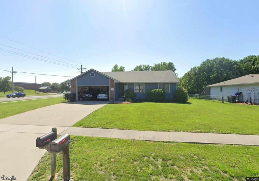
2855 SW Maxfield Rd Topeka, KS 66614
Estimated Value: $290,000 - $314,000
3
Beds
3
Baths
1,539
Sq Ft
$196/Sq Ft
Est. Value
About This Home
This home is located at 2855 SW Maxfield Rd, Topeka, KS 66614 and is currently estimated at $301,359, approximately $195 per square foot. 2855 SW Maxfield Rd is a home located in Shawnee County with nearby schools including Indian Hills Elementary School, Washburn Rural Middle School, and Washburn Rural High School.
Ownership History
Date
Name
Owned For
Owner Type
Purchase Details
Closed on
Jan 27, 2020
Sold by
Thorpe Christopher J and Shaughnessy Kelly A
Bought by
Haines Jared and Haines Sandra
Current Estimated Value
Purchase Details
Closed on
Jun 5, 2007
Sold by
Abrahams Brad and Abrahams Rose M
Bought by
Thorpe Christopher J and Shaughnessy Kelly A
Home Financials for this Owner
Home Financials are based on the most recent Mortgage that was taken out on this home.
Original Mortgage
$135,040
Interest Rate
6.19%
Mortgage Type
New Conventional
Create a Home Valuation Report for This Property
The Home Valuation Report is an in-depth analysis detailing your home's value as well as a comparison with similar homes in the area
Home Values in the Area
Average Home Value in this Area
Purchase History
| Date | Buyer | Sale Price | Title Company |
|---|---|---|---|
| Haines Jared | -- | None Available | |
| Thorpe Christopher J | -- | Columbian Title Of Topeka |
Source: Public Records
Mortgage History
| Date | Status | Borrower | Loan Amount |
|---|---|---|---|
| Previous Owner | Thorpe Christopher J | $135,040 |
Source: Public Records
Tax History Compared to Growth
Tax History
| Year | Tax Paid | Tax Assessment Tax Assessment Total Assessment is a certain percentage of the fair market value that is determined by local assessors to be the total taxable value of land and additions on the property. | Land | Improvement |
|---|---|---|---|---|
| 2025 | $4,220 | $30,194 | -- | -- |
| 2023 | $4,220 | $29,021 | $0 | $0 |
| 2022 | $3,606 | $25,911 | $0 | $0 |
| 2021 | $3,079 | $22,531 | $0 | $0 |
| 2020 | $2,852 | $21,256 | $0 | $0 |
| 2019 | $2,802 | $20,637 | $0 | $0 |
| 2018 | $2,523 | $19,843 | $0 | $0 |
| 2017 | $2,636 | $19,455 | $0 | $0 |
| 2014 | $2,606 | $18,980 | $0 | $0 |
Source: Public Records
Map
Nearby Homes
- 2831 SW Bingham Rd
- 2801 SW Windermere Dr
- 7628 SW 28th Terrace
- 7225 SW Marian Rd
- 7419 SW 26th Ct
- 7622 SW 27th St
- 2839 SW Santa fe Dr
- 7319 SW 25th Ct
- 2604 SW Ancaster Rd
- 7741 SW 26th St
- 2418 SW Romar Rd
- 2728 SW Chauncey Ct
- 2401 SW Romar Rd
- 7700 SW 24th Terrace
- 0000 SW 24th Terrace
- 2747 SW Lagito Dr
- 7345 SW 23rd Ct
- 7237 SW 23rd Ct
- 2632 SW Sherwood Park Dr Unit Lot 2, Block B
- 2628 SW Sherwood Park Dr
- 2849 SW Maxfield Rd
- 2854 SW Romar Rd
- 2843 SW Maxfield Rd
- 2848 SW Romar Rd
- 2842 SW Romar Rd
- 2854 SW Maxfield Rd
- 2837 SW Maxfield Rd
- 2848 SW Maxfield Rd
- 2842 SW Maxfield Rd
- 2836 SW Romar Rd
- 2831 SW Maxfield Rd
- 2836 SW Maxfield Rd
- 2830 SW Romar Rd
- 2855 SW Romar Rd
- 2849 SW Romar Rd
- 2830 SW Maxfield Rd
- 2825 SW Maxfield Rd
- 2843 SW Romar Rd
- 2855 SW Stutley Rd
- 2849 SW Stutley Rd