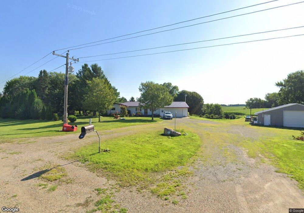
28552 890th Ave Austin, MN 55912
Estimated Value: $373,000 - $556,000
3
Beds
2
Baths
2,864
Sq Ft
$163/Sq Ft
Est. Value
About This Home
This home is located at 28552 890th Ave, Austin, MN 55912 and is currently estimated at $466,175, approximately $162 per square foot. 28552 890th Ave is a home located in Freeborn County with nearby schools including Banfield Elementary School, Ellis Middle School, and I.J. Holton Intermediate School.
Ownership History
Date
Name
Owned For
Owner Type
Purchase Details
Closed on
Oct 16, 2020
Sold by
Helgeson Larry P and Helgeson Cheryl
Bought by
Mietzner George E
Current Estimated Value
Home Financials for this Owner
Home Financials are based on the most recent Mortgage that was taken out on this home.
Original Mortgage
$256,000
Outstanding Balance
$227,283
Interest Rate
2.8%
Mortgage Type
New Conventional
Estimated Equity
$238,892
Create a Home Valuation Report for This Property
The Home Valuation Report is an in-depth analysis detailing your home's value as well as a comparison with similar homes in the area
Purchase History
| Date | Buyer | Sale Price | Title Company |
|---|---|---|---|
| Mietzner George E | $320,000 | None Available | |
| Mietzner George George | $320,000 | -- |
Source: Public Records
Mortgage History
| Date | Status | Borrower | Loan Amount |
|---|---|---|---|
| Open | Mietzner George E | $256,000 | |
| Closed | Mietzner George George | $256,000 |
Source: Public Records
Tax History
| Year | Tax Paid | Tax Assessment Tax Assessment Total Assessment is a certain percentage of the fair market value that is determined by local assessors to be the total taxable value of land and additions on the property. | Land | Improvement |
|---|---|---|---|---|
| 2025 | $3,530 | $419,100 | $104,500 | $314,600 |
| 2024 | $3,550 | $355,600 | $104,500 | $251,100 |
| 2023 | $3,792 | $357,100 | $104,500 | $252,600 |
| 2022 | $2,796 | $356,400 | $89,500 | $266,900 |
| 2021 | $2,772 | $245,300 | $74,600 | $170,700 |
| 2020 | $2,702 | $225,000 | $64,600 | $160,400 |
| 2019 | $2,558 | $227,400 | $64,600 | $162,800 |
| 2018 | $2,150 | $0 | $0 | $0 |
| 2016 | $1,396 | $0 | $0 | $0 |
| 2015 | $1,352 | $0 | $0 | $0 |
| 2014 | $1,400 | $0 | $0 | $0 |
| 2012 | $1,658 | $0 | $0 | $0 |
Source: Public Records
Map
Nearby Homes
- 50424 305th St
- 28143 N Island Cir
- 85204 Ballpark Rd
- 24975 Mower Freeborn Rd
- 87387 245th St
- 23897 890th Ave
- 84237 State Highway 251
- TBD 266th St & 539th Ave
- 54067 267th St
- 277 3rd St SW
- 205 2nd St SW
- 431 Highway Ave S
- 114 2nd St SE
- TBD 220th St
- 137 Memorial Dr NW
- 206 NW Highway Ave N
- 238 3rd St NE
- Tbd 31st St NW
- 650 33rd St NW
- TBD 31st St NW
- 28668 890th Ave
- 28356 890th Ave
- 28515 890th Ave
- 28145 890th Ave
- 88750 State Highway 251
- 89143 290th St
- 88835 290th St
- 29048 890th Ave
- 89190 State Highway 251
- 89529 290th St
- 88948 290th St
- 88948 290th St
- 29139 890th Ave
- 89432 State Highway 251
- 89309 State Highway 251
- 88574 State Highway 251
- 88564 290th St
- 88835 State Highway 251
- 88431 290th St
- 88256 State Highway 251
Your Personal Tour Guide
Ask me questions while you tour the home.