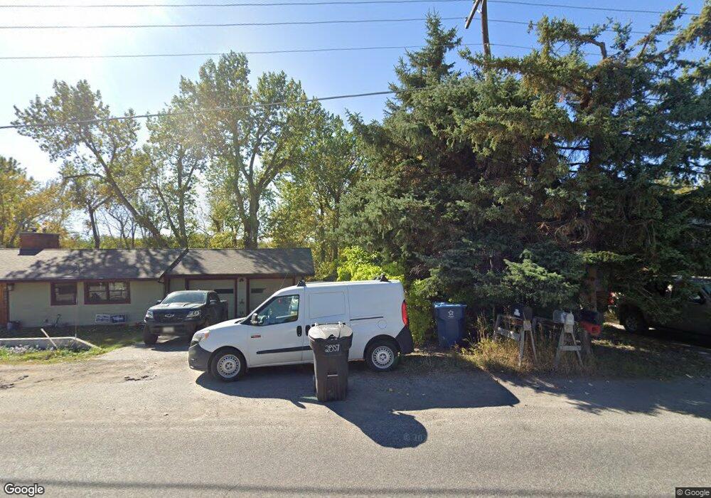
2857 Sourdough Rd Bozeman, MT 59715
East Bozeman NeighborhoodEstimated Value: $766,000 - $826,000
3
Beds
2
Baths
1,225
Sq Ft
$641/Sq Ft
Est. Value
About This Home
This home is located at 2857 Sourdough Rd, Bozeman, MT 59715 and is currently estimated at $785,265, approximately $641 per square foot. 2857 Sourdough Rd is a home located in Gallatin County with nearby schools including Morning Star School, Sacajawea Middle School, and Bozeman High School.
Ownership History
Date
Name
Owned For
Owner Type
Purchase Details
Closed on
Sep 5, 2008
Sold by
Lonestar Property Llc
Bought by
Stowers Justin T
Current Estimated Value
Purchase Details
Closed on
Aug 26, 2005
Sold by
Simpson Herva F and Simpson Donald M
Bought by
Lonestar Property Llc
Home Financials for this Owner
Home Financials are based on the most recent Mortgage that was taken out on this home.
Original Mortgage
$130,000
Interest Rate
5.61%
Mortgage Type
Purchase Money Mortgage
Create a Home Valuation Report for This Property
The Home Valuation Report is an in-depth analysis detailing your home's value as well as a comparison with similar homes in the area
Home Values in the Area
Average Home Value in this Area
Purchase History
| Date | Buyer | Sale Price | Title Company |
|---|---|---|---|
| Stowers Justin T | -- | American Land Title Company | |
| Lonestar Property Llc | -- | American Land Title Company |
Source: Public Records
Mortgage History
| Date | Status | Borrower | Loan Amount |
|---|---|---|---|
| Previous Owner | Lonestar Property Llc | $130,000 |
Source: Public Records
Tax History
| Year | Tax Paid | Tax Assessment Tax Assessment Total Assessment is a certain percentage of the fair market value that is determined by local assessors to be the total taxable value of land and additions on the property. | Land | Improvement |
|---|---|---|---|---|
| 2025 | $2,726 | $737,700 | $0 | $0 |
| 2024 | $3,163 | $601,685 | $0 | $0 |
| 2023 | $3,238 | $639,900 | $0 | $0 |
| 2022 | $2,561 | $391,500 | $0 | $0 |
| 2021 | $2,855 | $391,500 | $0 | $0 |
| 2020 | $2,786 | $377,700 | $0 | $0 |
| 2019 | $2,748 | $377,700 | $0 | $0 |
| 2018 | $2,596 | $326,600 | $0 | $0 |
| 2017 | $2,409 | $326,600 | $0 | $0 |
| 2016 | $2,038 | $257,400 | $0 | $0 |
| 2015 | $2,054 | $257,400 | $0 | $0 |
| 2014 | $2,278 | $167,374 | $0 | $0 |
Source: Public Records
Map
Nearby Homes
- 1109 E Kagy Blvd
- 1103 S Pinecrest Dr
- TBD Spring Creek Dr
- 1918 Spring Creek Dr
- 1918 & TBD Spring Creek Dr
- 1914 Spring Creek Dr
- 2516 Spring Creek Dr
- 102 Hoffman Dr Unit 1
- 3751 Sourdough Rd
- 131 Erik Dr
- 17 W Fieldview Cir
- 2404 Westridge Dr
- 407 Fieldstone Dr
- 3726 Bungalow Ln
- 517 Staudaher St
- 3018 Secor Ave
- 405 Ice Pond Rd
- TBD - Lot 18 Boreal Way
- 101 Painted Ridge Rd
- 101 Painted Ridge
- 2893 Sourdough Rd
- Lot 8 Sourdough Rd
- Lot 18 Sourdough Rd
- 4780 Sourdough Rd
- 2880 Sourdough Rd
- 2856 Sourdough Rd
- 2892 Sourdough Rd
- 2228 Sourdough Rd
- 2232 Sourdough Rd
- 2232 Sourdough Rd Unit 8
- 2224 Sourdough Rd
- 2220 Sourdough Rd Unit 5
- 2216 Sourdough Rd Unit 4
- 2208 Sourdough Rd Unit 2
- 2125 Sourdough Rd
- 1002 E Kagy Blvd
- 2940 Sourdough Rd
- 2970 Sourdough Rd
- 3002 Sourdough
- 3002 Candy Ln
Your Personal Tour Guide
Ask me questions while you tour the home.