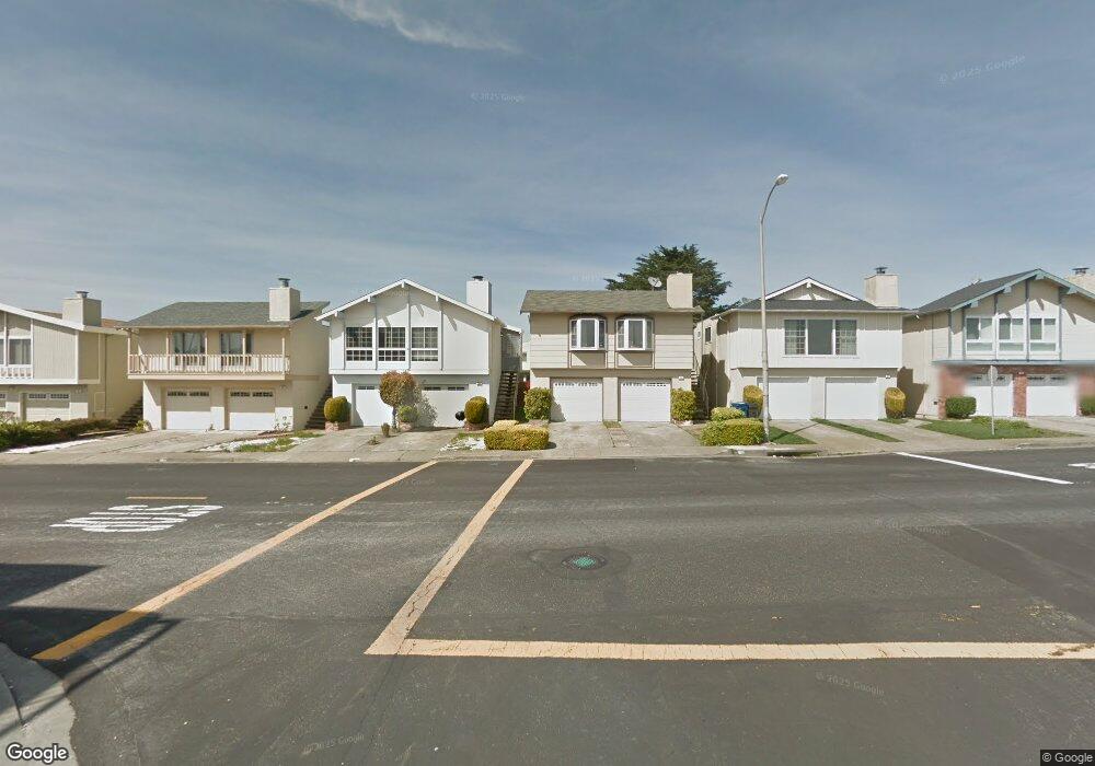
286 Warwick St Daly City, CA 94015
Serramonte NeighborhoodEstimated Value: $1,034,369 - $1,252,000
3
Beds
1
Bath
1,170
Sq Ft
$994/Sq Ft
Est. Value
About This Home
This home is located at 286 Warwick St, Daly City, CA 94015 and is currently estimated at $1,162,592, approximately $993 per square foot. 286 Warwick St is a home located in San Mateo County with nearby schools including Skyline Elementary School, Westborough Middle School, and El Camino High School.
Ownership History
Date
Name
Owned For
Owner Type
Purchase Details
Closed on
Aug 26, 1996
Sold by
Tong Sui C and Tong Sui
Bought by
Gelasio Alfredo and Gelasio Nora
Current Estimated Value
Home Financials for this Owner
Home Financials are based on the most recent Mortgage that was taken out on this home.
Original Mortgage
$176,250
Outstanding Balance
$15,175
Interest Rate
8.23%
Estimated Equity
$1,147,417
Create a Home Valuation Report for This Property
The Home Valuation Report is an in-depth analysis detailing your home's value as well as a comparison with similar homes in the area
Home Values in the Area
Average Home Value in this Area
Purchase History
| Date | Buyer | Sale Price | Title Company |
|---|---|---|---|
| Gelasio Alfredo | $235,000 | Fidelity National Title Co |
Source: Public Records
Mortgage History
| Date | Status | Borrower | Loan Amount |
|---|---|---|---|
| Open | Gelasio Alfredo | $176,250 | |
| Closed | Gelasio Alfredo | $35,250 |
Source: Public Records
Tax History Compared to Growth
Tax History
| Year | Tax Paid | Tax Assessment Tax Assessment Total Assessment is a certain percentage of the fair market value that is determined by local assessors to be the total taxable value of land and additions on the property. | Land | Improvement |
|---|---|---|---|---|
| 2025 | $5,255 | $382,712 | $191,356 | $191,356 |
| 2023 | $5,255 | $367,852 | $183,926 | $183,926 |
| 2022 | $4,756 | $360,640 | $180,320 | $180,320 |
| 2021 | $4,334 | $353,570 | $176,785 | $176,785 |
| 2020 | $4,312 | $349,946 | $174,973 | $174,973 |
| 2019 | $4,646 | $343,086 | $171,543 | $171,543 |
| 2018 | $3,699 | $336,360 | $168,180 | $168,180 |
| 2017 | $4,463 | $329,766 | $164,883 | $164,883 |
| 2016 | $4,390 | $323,300 | $161,650 | $161,650 |
| 2015 | $4,195 | $318,444 | $159,222 | $159,222 |
| 2014 | $4,408 | $312,208 | $156,104 | $156,104 |
Source: Public Records
Map
Nearby Homes
- 109 Lycett Cir
- 3885 Carter Dr Unit 307
- 3855 Carter Dr Unit 101
- 3836 Carter Dr
- 286 Barbara Ln
- 289 Barbara Ln
- 656 Forest Lake Dr
- 257 Hampshire Ct
- 2679 Sean Ct
- 130 Marbly Ave
- 618 Foothill Dr
- 3739 Fairfax Way Unit 129B
- 672 Claridge Dr
- 3639 Erris Ct
- 130 Morton Dr
- 532 Heathcliff Dr
- 391 Imperial Dr
- 74 Penhurst Ave
- 720 Lockhaven Dr
- 2316 Kristie Ln