28617 Primrose Ln Juliaetta, ID 83535
Estimated Value: $615,000 - $824,000
4
Beds
3
Baths
3,420
Sq Ft
$210/Sq Ft
Est. Value
About This Home
This home is located at 28617 Primrose Ln, Juliaetta, ID 83535 and is currently estimated at $718,701, approximately $210 per square foot. 28617 Primrose Ln is a home located in Nez Perce County with nearby schools including Lapwai Elementary School and Lapwai Middle/High School.
Ownership History
Date
Name
Owned For
Owner Type
Purchase Details
Closed on
Dec 5, 2024
Sold by
Upper Columbia Corporation Of Seventh-Da
Bought by
Pritchard Marion Allen and Thulon-Pritchard Sharon Sara
Current Estimated Value
Purchase Details
Closed on
Oct 28, 2022
Sold by
Thulon Victor L and Thulon Sharon S
Bought by
Thulon Sharon S
Purchase Details
Closed on
Apr 6, 2016
Sold by
Thulon Victor L and Thulon Sharon S
Bought by
Upper Columbia Corporation Of Seventh Da
Create a Home Valuation Report for This Property
The Home Valuation Report is an in-depth analysis detailing your home's value as well as a comparison with similar homes in the area
Home Values in the Area
Average Home Value in this Area
Purchase History
| Date | Buyer | Sale Price | Title Company |
|---|---|---|---|
| Pritchard Marion Allen | -- | None Listed On Document | |
| Thulon Sharon S | -- | -- | |
| Upper Columbia Corporation Of Seventh Da | -- | None Available |
Source: Public Records
Tax History Compared to Growth
Tax History
| Year | Tax Paid | Tax Assessment Tax Assessment Total Assessment is a certain percentage of the fair market value that is determined by local assessors to be the total taxable value of land and additions on the property. | Land | Improvement |
|---|---|---|---|---|
| 2025 | $2,035 | $589,666 | $73,449 | $516,217 |
| 2024 | $18 | $511,782 | $66,776 | $445,006 |
| 2023 | $1,597 | $488,323 | $55,648 | $432,675 |
| 2022 | $2,072 | $443,813 | $46,373 | $397,440 |
| 2021 | $1,516 | $310,811 | $40,325 | $270,486 |
| 2020 | $1,500 | $272,639 | $39,150 | $233,489 |
| 2019 | $1,280 | $236,516 | $39,150 | $197,366 |
| 2018 | $1,257 | $230,138 | $37,350 | $192,788 |
| 2017 | $1,209 | $0 | $0 | $0 |
| 2016 | $1,209 | $0 | $0 | $0 |
| 2015 | $1,214 | $0 | $0 | $0 |
| 2014 | $1,172 | $206,751 | $34,650 | $172,101 |
Source: Public Records
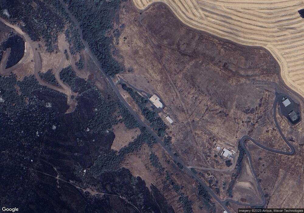
Map
Nearby Homes
- 17550 Stoney Point
- 16078 Hoffman Rd
- 18699 Family Ln
- 164 State St
- 13790 Cross Farm Rd
- 1647 State Highway 3
- TBD Arrow Highline Rd
- NKA Clearwater Ridge Dr
- 0 Nka Clearwater Ridge Dr
- NKA Clearwater Ridge Dr
- 29634 Wild Plum Ln
- TBD Clearwater Dr
- 1701 State Highway 3
- 34245 Grandview Ln
- 24500 Arrow Highline Rd
- 701 Wheeler St
- 19357 School Rd
- 901 E Main St
- 812 Main St
- 0 Jacks Canyon Rd