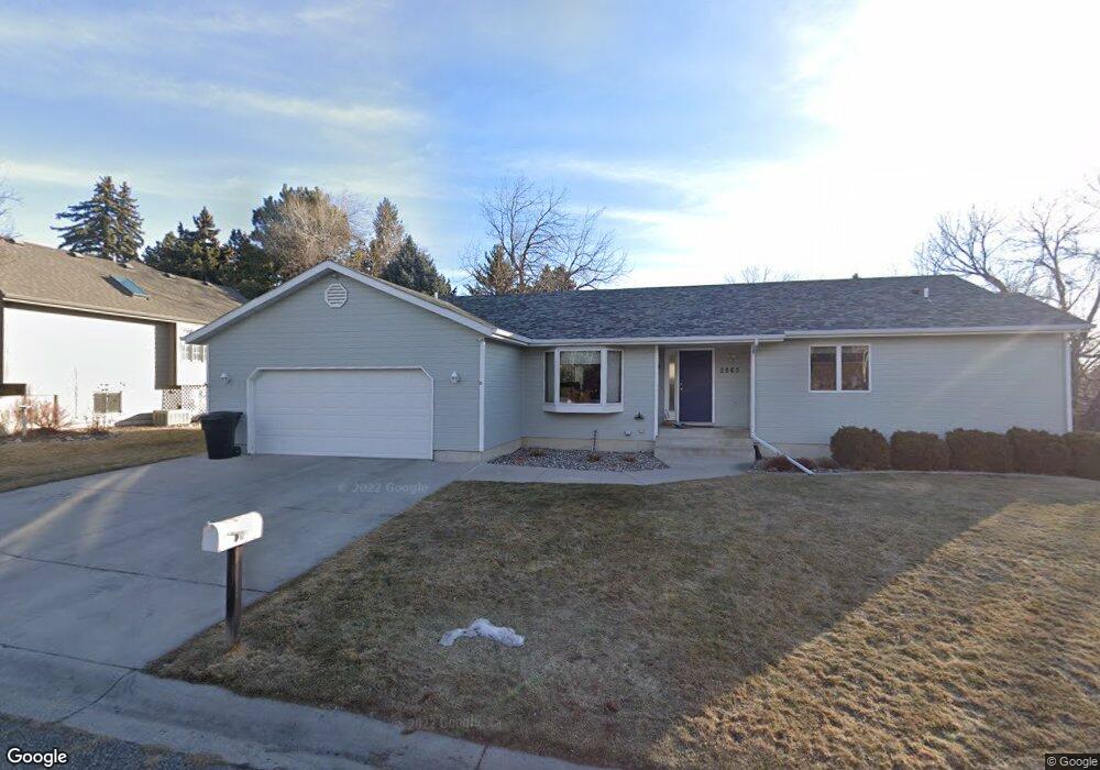
2865 Jennie Ln Billings, MT 59102
North Central Billings NeighborhoodEstimated Value: $448,000 - $470,000
4
Beds
4
Baths
3,098
Sq Ft
$148/Sq Ft
Est. Value
About This Home
This home is located at 2865 Jennie Ln, Billings, MT 59102 and is currently estimated at $459,506, approximately $148 per square foot. 2865 Jennie Ln is a home located in Yellowstone County with nearby schools including Boulder School, Will James Junior High School, and Billings Senior High School.
Ownership History
Date
Name
Owned For
Owner Type
Purchase Details
Closed on
Jul 15, 2019
Sold by
Wagner James K
Bought by
Smith Bradley W and Smith Katie S
Current Estimated Value
Home Financials for this Owner
Home Financials are based on the most recent Mortgage that was taken out on this home.
Original Mortgage
$285,000
Outstanding Balance
$187,109
Interest Rate
3.82%
Mortgage Type
New Conventional
Estimated Equity
$272,397
Create a Home Valuation Report for This Property
The Home Valuation Report is an in-depth analysis detailing your home's value as well as a comparison with similar homes in the area
Home Values in the Area
Average Home Value in this Area
Purchase History
| Date | Buyer | Sale Price | Title Company |
|---|---|---|---|
| Smith Bradley W | -- | -- |
Source: Public Records
Mortgage History
| Date | Status | Borrower | Loan Amount |
|---|---|---|---|
| Open | Smith Bradley W | $285,000 |
Source: Public Records
Tax History Compared to Growth
Tax History
| Year | Tax Paid | Tax Assessment Tax Assessment Total Assessment is a certain percentage of the fair market value that is determined by local assessors to be the total taxable value of land and additions on the property. | Land | Improvement |
|---|---|---|---|---|
| 2025 | $3,635 | $471,400 | $56,964 | $414,436 |
| 2024 | $3,635 | $379,300 | $54,110 | $325,190 |
| 2023 | $3,633 | $379,300 | $54,110 | $325,190 |
| 2022 | $3,396 | $311,900 | $51,666 | $260,234 |
| 2021 | $3,233 | $311,900 | $0 | $0 |
| 2020 | $3,258 | $301,500 | $0 | $0 |
| 2019 | $2,819 | $271,400 | $0 | $0 |
| 2018 | $2,649 | $249,400 | $0 | $0 |
| 2017 | $2,573 | $249,400 | $0 | $0 |
| 2016 | $2,562 | $252,200 | $0 | $0 |
| 2015 | $2,506 | $252,200 | $0 | $0 |
| 2014 | $2,236 | $119,250 | $0 | $0 |
Source: Public Records
Map
Nearby Homes
- 2912 Stinson Ave
- 2717 Patricia Ln
- 3065 Gregory Dr W
- 2748 Palm Dr
- 2815 Palm Dr
- 2516 Lyndale Ln
- 2730 Gregory Dr S
- 2736 Palm Dr
- 2646 Rimrock Rd
- 3135 Sycamore Ln
- 2644 Rimrock Rd
- 3106 Forsythia Blvd
- 3107 Poly Dr
- 2737 Gregory Dr N
- 2820 Boulder Ave
- 3311 Harlou Dr
- 2911 E Macdonald Dr
- 3107 Boulder Ave
- 2820 Arrowhead Meadows Dr
- 3237 Rimrock Rd
- 2850 Rimrock Rd
- 2885 Jennie Ln
- 2845 Jennie Ln
- 2836 Chester Ct
- 2825 Jennie Ln
- 2713 Stinson Place
- 2918 Rimrock Rd
- 2840 Chester Ct
- 2804 Patricia Ln
- 2802 Patricia Ln
- 2850 Jennie Ln
- 2832 Chester Ct
- 2830 Jennie Ln
- 2709 Stinson Place
- 2835 Chester Ct
- 2805 Patricia Ln
- 2710 Stinson Place
- 2718 Patricia Ln
- 2839 Chester Ct
- 2814 Gregory Dr S