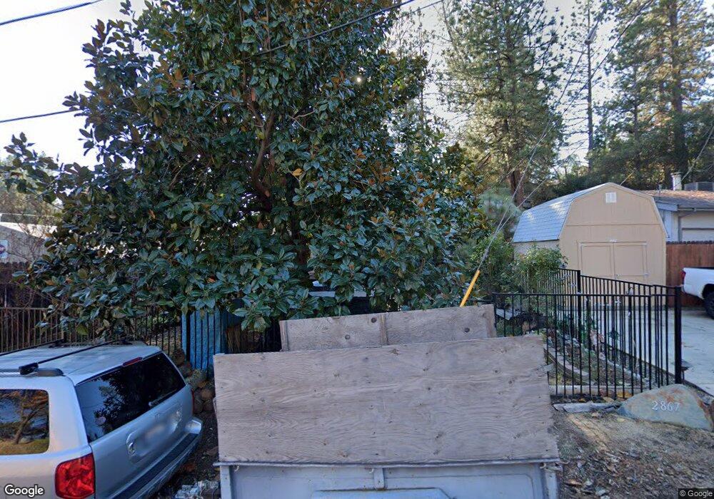
2867 Anderson Way Placerville, CA 95667
Estimated Value: $236,000 - $411,581
3
Beds
2
Baths
1,554
Sq Ft
$227/Sq Ft
Est. Value
About This Home
This home is located at 2867 Anderson Way, Placerville, CA 95667 and is currently estimated at $353,395, approximately $227 per square foot. 2867 Anderson Way is a home located in El Dorado County with nearby schools including El Dorado High School, Country Day Montessori, and El Dorado Adventist School.
Ownership History
Date
Name
Owned For
Owner Type
Purchase Details
Closed on
May 13, 2011
Sold by
Hunt Virginia A
Bought by
Hunt Andrew
Current Estimated Value
Purchase Details
Closed on
Jan 9, 2004
Sold by
Hunt Andrew
Bought by
Hunt Andrew and Hunt Virginia A
Home Financials for this Owner
Home Financials are based on the most recent Mortgage that was taken out on this home.
Original Mortgage
$180,000
Outstanding Balance
$89,106
Interest Rate
6.75%
Mortgage Type
New Conventional
Estimated Equity
$264,289
Purchase Details
Closed on
Oct 7, 2002
Sold by
Riley Steve
Bought by
Hunt Andrew
Home Financials for this Owner
Home Financials are based on the most recent Mortgage that was taken out on this home.
Original Mortgage
$100,000
Interest Rate
6.22%
Purchase Details
Closed on
Oct 1, 2002
Sold by
Patterson Carole
Bought by
Riley Steve and Hunt Andrew
Home Financials for this Owner
Home Financials are based on the most recent Mortgage that was taken out on this home.
Original Mortgage
$100,000
Interest Rate
6.22%
Create a Home Valuation Report for This Property
The Home Valuation Report is an in-depth analysis detailing your home's value as well as a comparison with similar homes in the area
Home Values in the Area
Average Home Value in this Area
Purchase History
| Date | Buyer | Sale Price | Title Company |
|---|---|---|---|
| Hunt Andrew | -- | None Available | |
| Hunt Andrew | -- | Placer Title Co | |
| Hunt Andrew | -- | Fidelity Natl Title Co | |
| Riley Steve | $145,000 | Fidelity Natl Title Co |
Source: Public Records
Mortgage History
| Date | Status | Borrower | Loan Amount |
|---|---|---|---|
| Open | Hunt Andrew | $180,000 | |
| Closed | Riley Steve | $100,000 | |
| Closed | Riley Steve | $25,000 |
Source: Public Records
Tax History Compared to Growth
Tax History
| Year | Tax Paid | Tax Assessment Tax Assessment Total Assessment is a certain percentage of the fair market value that is determined by local assessors to be the total taxable value of land and additions on the property. | Land | Improvement |
|---|---|---|---|---|
| 2025 | $2,358 | $232,756 | $56,471 | $176,285 |
| 2024 | $2,358 | $228,193 | $55,364 | $172,829 |
| 2023 | $2,329 | $223,720 | $54,279 | $169,441 |
| 2022 | $2,295 | $219,334 | $53,215 | $166,119 |
| 2021 | $2,268 | $215,034 | $52,172 | $162,862 |
| 2020 | $2,234 | $212,831 | $51,638 | $161,193 |
| 2019 | $2,205 | $208,659 | $50,626 | $158,033 |
| 2018 | $2,138 | $204,569 | $49,634 | $154,935 |
| 2017 | $2,105 | $200,559 | $48,661 | $151,898 |
| 2016 | $2,071 | $196,627 | $47,707 | $148,920 |
| 2015 | $1,975 | $193,676 | $46,992 | $146,684 |
| 2014 | $1,975 | $189,883 | $46,072 | $143,811 |
Source: Public Records
Map
Nearby Homes
- 2921 Miller Way
- 2940 Anderson Way
- 2977 Mosquito Rd
- 678 Main St
- 1017 Utah Dr
- 1284 Roxie Way
- 1001 Utah Dr
- 3022 Constellation Ave
- 1015 Utah Dr
- 1011 Utah Dr
- Plan 2 at Sutter’s Ridge
- 2896 Clay St
- 0 Lincoln Alley
- 2771 Morrene Dr
- 0 Trails End Dr Unit 225117516
- 2-Acres Homestead Dr
- 3 Acres
- 3136 Baco Dr
- 2689 Morrene Dr
- 944 Crawford Drift Ct
- 2873 Anderson Way
- 2634 Clay St
- 1159 Franklin Ct
- 2877 Anderson Way
- 2640 Clay St
- 2899 Willow St
- 0 Franklin Ct
- 2903 Willow St
- 2648 Clay St
- 2878 Anderson Way
- 2881 Anderson Way
- 2650 Clay St
- 2654 Clay St
- 2885 Anderson Way
- 2895 Willow St
- 2884 Anderson Way
- 2631 Clay St
- 2986 Anderson Way
- 2886 Willow St
- 2889 Anderson Way