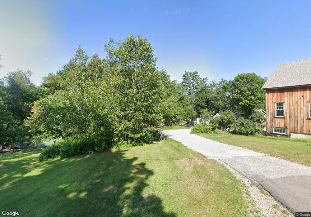
287 Gorham Pond Rd Goffstown, NH 03045
Estimated Value: $652,000 - $973,000
3
Beds
3
Baths
2,376
Sq Ft
$329/Sq Ft
Est. Value
About This Home
This home is located at 287 Gorham Pond Rd, Goffstown, NH 03045 and is currently estimated at $780,915, approximately $328 per square foot. 287 Gorham Pond Rd is a home with nearby schools including Mountain View Middle School and Goffstown High School.
Ownership History
Date
Name
Owned For
Owner Type
Purchase Details
Closed on
Oct 31, 2002
Sold by
Srl Home Builders Llc
Bought by
Bohle William S
Current Estimated Value
Home Financials for this Owner
Home Financials are based on the most recent Mortgage that was taken out on this home.
Original Mortgage
$272,270
Interest Rate
6.09%
Create a Home Valuation Report for This Property
The Home Valuation Report is an in-depth analysis detailing your home's value as well as a comparison with similar homes in the area
Home Values in the Area
Average Home Value in this Area
Purchase History
| Date | Buyer | Sale Price | Title Company |
|---|---|---|---|
| Bohle William S | $286,600 | -- |
Source: Public Records
Mortgage History
| Date | Status | Borrower | Loan Amount |
|---|---|---|---|
| Open | Bohle William S | $350,000 | |
| Closed | Bohle William S | $322,000 | |
| Closed | Bohle William S | $35,000 | |
| Closed | Bohle William S | $272,270 |
Source: Public Records
Tax History Compared to Growth
Tax History
| Year | Tax Paid | Tax Assessment Tax Assessment Total Assessment is a certain percentage of the fair market value that is determined by local assessors to be the total taxable value of land and additions on the property. | Land | Improvement |
|---|---|---|---|---|
| 2024 | $14,463 | $707,600 | $197,800 | $509,800 |
| 2023 | $12,995 | $689,000 | $197,800 | $491,200 |
| 2022 | $10,758 | $408,900 | $122,300 | $286,600 |
| 2021 | $10,149 | $408,900 | $122,300 | $286,600 |
| 2020 | $10,119 | $407,700 | $122,300 | $285,400 |
| 2019 | $10,021 | $407,700 | $122,300 | $285,400 |
| 2018 | $7,583 | $407,700 | $122,300 | $285,400 |
| 2017 | $10,063 | $367,000 | $111,800 | $255,200 |
| 2016 | $9,700 | $367,000 | $111,800 | $255,200 |
| 2015 | $9,665 | $343,200 | $94,800 | $248,400 |
| 2014 | $8,764 | $324,600 | $94,800 | $229,800 |
Source: Public Records
Map
Nearby Homes
- 88 Saunders Rd
- 22 Fairway Dr
- 0 Fairway Dr Unit 11
- 3 Stephanie Rd
- 174 S Stark Hwy Unit 13
- 174 S Stark Hwy Unit 1
- 174 S Stark Hwy Unit 23
- 93 Daniels Rd
- 16 Palmer Rd
- 25 Pleasant St
- 77 Gould Rd
- 99 Elm St
- 12 S Mast St
- 39 S Mast St
- 137 Elm St
- 103 Renshaw Rd
- 22 Winter Hill Rd
- 95 Wright Dr
- 602 Black Brook Rd
- 45 Range Rd
- 280 Gorham Pond Rd
- 291 Gorham Pond Rd
- 303 Gorham Pond Rd
- 0 Gorham Pond Rd Unit 72902689
- 0 Gorham Pond Rd Unit Map 7 Lot 49
- 266 Snook Rd
- 272 Gorham Pond Rd
- 257 Snook Rd
- 311 Gorham Pond Rd
- 290 Gorham Pond Rd
- 262 Snook Rd
- 248 Gorham Pond Rd
- 252 Snook Rd
- 245 Snook Rd
- 320 Gorham Pond Rd
- 314 Gorham Pond Rd
- 326 Gorham Pond Rd
- 242 Snook Rd
- 236 Gorham Pond Rd
- 239 Snook Rd