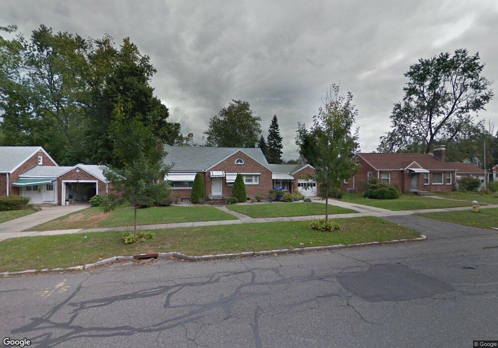
287 Roosevelt Ave Springfield, MA 01118
East Forest Park NeighborhoodEstimated Value: $290,000 - $315,000
3
Beds
1
Bath
1,184
Sq Ft
$253/Sq Ft
Est. Value
About This Home
This home is located at 287 Roosevelt Ave, Springfield, MA 01118 and is currently estimated at $299,733, approximately $253 per square foot. 287 Roosevelt Ave is a home located in Hampden County with nearby schools including Mary A. Dryden Veterans Memorial School, M Marcus Kiley Middle, and Springfield High School of Science and Technology.
Ownership History
Date
Name
Owned For
Owner Type
Purchase Details
Closed on
May 25, 2006
Sold by
Burns Catherine C
Bought by
Steadman Mark D
Current Estimated Value
Home Financials for this Owner
Home Financials are based on the most recent Mortgage that was taken out on this home.
Original Mortgage
$135,120
Outstanding Balance
$78,836
Interest Rate
6.53%
Mortgage Type
Purchase Money Mortgage
Estimated Equity
$220,897
Purchase Details
Closed on
Apr 14, 2005
Sold by
Burns Catherine C
Bought by
Burns Catherine C and Burns Claire E
Create a Home Valuation Report for This Property
The Home Valuation Report is an in-depth analysis detailing your home's value as well as a comparison with similar homes in the area
Home Values in the Area
Average Home Value in this Area
Purchase History
| Date | Buyer | Sale Price | Title Company |
|---|---|---|---|
| Steadman Mark D | $168,900 | -- | |
| Burns Catherine C | -- | -- |
Source: Public Records
Mortgage History
| Date | Status | Borrower | Loan Amount |
|---|---|---|---|
| Open | Steadman Mark D | $135,120 |
Source: Public Records
Tax History
| Year | Tax Paid | Tax Assessment Tax Assessment Total Assessment is a certain percentage of the fair market value that is determined by local assessors to be the total taxable value of land and additions on the property. | Land | Improvement |
|---|---|---|---|---|
| 2025 | $4,157 | $265,100 | $47,500 | $217,600 |
| 2024 | $3,618 | $225,300 | $47,500 | $177,800 |
| 2023 | $3,618 | $212,200 | $45,300 | $166,900 |
| 2022 | $3,331 | $177,000 | $45,300 | $131,700 |
| 2021 | $3,319 | $175,600 | $41,100 | $134,500 |
| 2020 | $3,154 | $161,500 | $41,100 | $120,400 |
| 2019 | $2,960 | $150,400 | $41,100 | $109,300 |
| 2018 | $2,787 | $141,600 | $41,100 | $100,500 |
| 2017 | $2,731 | $138,900 | $41,100 | $97,800 |
| 2016 | $2,515 | $127,900 | $41,100 | $86,800 |
| 2015 | $2,429 | $123,500 | $41,100 | $82,400 |
Source: Public Records
Map
Nearby Homes
- 297 Roosevelt Ave
- 68 Ashbrook St
- 74 Ashbrook St
- 62 Ashbrook St
- 80 Ashbrook St
- 305 Roosevelt Ave
- 271 Roosevelt Ave
- 86 Ashbrook St
- 54 Ashbrook St
- 284 Roosevelt Ave
- 294 Roosevelt Ave
- 67 Brighton St
- 295 Roosevelt Ave
- 261 Roosevelt Ave
- 304 Roosevelt Ave
- 199 Cambria St
- 67 Ashbrook St
- 90 Ashbrook St
- 73 Ashbrook St
- 48 Ashbrook St
Your Personal Tour Guide
Ask me questions while you tour the home.