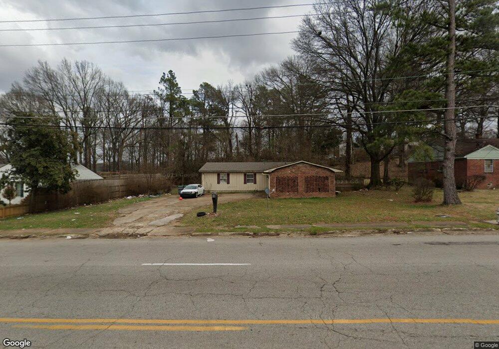
2870 Range Line Rd Memphis, TN 38127
Frayser NeighborhoodEstimated Value: $118,000 - $136,000
3
Beds
2
Baths
1,757
Sq Ft
$73/Sq Ft
Est. Value
About This Home
This home is located at 2870 Range Line Rd, Memphis, TN 38127 and is currently estimated at $127,574, approximately $72 per square foot. 2870 Range Line Rd is a home located in Shelby County with nearby schools including Lucie E. Campbell Elementary School, Grandview Heights Middle, and Trezevant High School.
Ownership History
Date
Name
Owned For
Owner Type
Purchase Details
Closed on
May 15, 2018
Sold by
Fisher Jennifer
Bought by
Majestic Properties Llc
Current Estimated Value
Purchase Details
Closed on
Mar 13, 2017
Sold by
Seko George
Bought by
Fisher Jennifer
Purchase Details
Closed on
Oct 21, 2008
Sold by
Lasalle Bank Na
Bought by
Seko George
Purchase Details
Closed on
Mar 12, 2008
Sold by
Ray Sammie Lee and Ray Alice
Bought by
Lasalle Bank Na and Bear Stearns Asset Backed Securities Inc
Purchase Details
Closed on
Dec 26, 2003
Sold by
Ray James and Ray Annie
Bought by
Ray James Earl
Create a Home Valuation Report for This Property
The Home Valuation Report is an in-depth analysis detailing your home's value as well as a comparison with similar homes in the area
Home Values in the Area
Average Home Value in this Area
Purchase History
| Date | Buyer | Sale Price | Title Company |
|---|---|---|---|
| Majestic Properties Llc | $47,000 | None Available | |
| Fisher Jennifer | -- | None Available | |
| Seko George | $7,000 | Edco Title & Closing Service | |
| Lasalle Bank Na | $24,937 | None Available | |
| Ray James Earl | -- | -- |
Source: Public Records
Tax History
| Year | Tax Paid | Tax Assessment Tax Assessment Total Assessment is a certain percentage of the fair market value that is determined by local assessors to be the total taxable value of land and additions on the property. | Land | Improvement |
|---|---|---|---|---|
| 2025 | $697 | $29,075 | $3,375 | $25,700 |
| 2024 | $697 | $20,575 | $2,600 | $17,975 |
| 2023 | $1,253 | $20,575 | $2,600 | $17,975 |
| 2022 | $1,253 | $20,575 | $2,600 | $17,975 |
| 2021 | $1,268 | $20,575 | $2,600 | $17,975 |
| 2020 | $1,085 | $14,975 | $2,600 | $12,375 |
| 2019 | $479 | $14,975 | $2,600 | $12,375 |
| 2018 | $479 | $14,975 | $2,600 | $12,375 |
| 2017 | $490 | $14,975 | $2,600 | $12,375 |
| 2016 | $677 | $15,500 | $0 | $0 |
| 2014 | $677 | $15,500 | $0 | $0 |
Source: Public Records
Map
Nearby Homes
- 2934 N Trezevant St
- 2535 Clearpark Dr
- 2838 Birchfield Dr
- 2800 Spring Hill Dr
- 3091 Range Line Rd Unit 6
- 2460 Woodvale Dr
- 0 Range Line Rd Unit 10207554
- 2458 Whitney Ave
- 3151 Range Line Rd
- 2869 Dumbarton Oaks Dr
- 3075 Debby St
- 3095 Spring Hill Dr
- 3158 Madeline Cir
- 3152 Mountain Terrace St
- 3034 Laurencekirk Rd
- 2341 Daywood Ave
- 3294 Lockmeade Dr
- 2292 Daywood Ave
- 0 Chandler St
- 3294 Mountain Terrace
- 2880 Range Line Rd
- 2860 Range Line Rd
- 2850 Range Line Rd
- 2857 W Lake Shore Dr
- 2849 W Lake Shore Dr
- 2871 W Lake Shore Dr
- 2840 Range Line Rd
- 2841 W Lake Shore Dr
- 2690 N Lake Shore Dr
- 2830 Range Line Rd
- 2833 W Lake Shore Dr
- 2862 W Lake Shore Dr
- 2852 W Lake Shore Dr
- 2691 N Lake Shore Dr
- 2823 W Lake Shore Dr
- 2820 Range Line Rd
- 2840 W Lake Shore Dr
- 2698 N Lake Shore Dr
- 2682 Mahue Dr
- 2815 W Lake Shore Dr
Your Personal Tour Guide
Ask me questions while you tour the home.