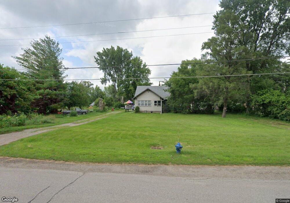
2871 Independence Ave Evansdale, IA 50707
Estimated Value: $105,000 - $153,000
3
Beds
1
Bath
1,369
Sq Ft
$97/Sq Ft
Est. Value
About This Home
This home is located at 2871 Independence Ave, Evansdale, IA 50707 and is currently estimated at $132,925, approximately $97 per square foot. 2871 Independence Ave is a home located in Black Hawk County with nearby schools including Highland Elementary School, George Washington Carver Academy, and East High School.
Ownership History
Date
Name
Owned For
Owner Type
Purchase Details
Closed on
Apr 20, 2020
Sold by
Garrison Kurt Allen and Garrison Duane Craig
Bought by
Garrison Duane Craig
Current Estimated Value
Purchase Details
Closed on
Apr 2, 2019
Sold by
Garrison Lois L
Bought by
Garrison Duane
Home Financials for this Owner
Home Financials are based on the most recent Mortgage that was taken out on this home.
Original Mortgage
$46,000
Interest Rate
4.4%
Mortgage Type
New Conventional
Create a Home Valuation Report for This Property
The Home Valuation Report is an in-depth analysis detailing your home's value as well as a comparison with similar homes in the area
Home Values in the Area
Average Home Value in this Area
Purchase History
| Date | Buyer | Sale Price | Title Company |
|---|---|---|---|
| Garrison Duane Craig | -- | None Available | |
| Garrison Duane | $60,000 | -- |
Source: Public Records
Mortgage History
| Date | Status | Borrower | Loan Amount |
|---|---|---|---|
| Previous Owner | Garrison Duane | $46,000 |
Source: Public Records
Tax History Compared to Growth
Tax History
| Year | Tax Paid | Tax Assessment Tax Assessment Total Assessment is a certain percentage of the fair market value that is determined by local assessors to be the total taxable value of land and additions on the property. | Land | Improvement |
|---|---|---|---|---|
| 2025 | $2,502 | $135,980 | $26,630 | $109,350 |
| 2024 | $2,502 | $115,360 | $26,630 | $88,730 |
| 2023 | $1,812 | $115,360 | $26,630 | $88,730 |
| 2022 | $1,764 | $82,460 | $26,630 | $55,830 |
| 2021 | $1,680 | $82,460 | $26,630 | $55,830 |
| 2020 | $1,652 | $74,150 | $18,320 | $55,830 |
| 2019 | $1,652 | $74,150 | $18,320 | $55,830 |
| 2018 | $1,654 | $74,150 | $18,320 | $55,830 |
| 2017 | $1,702 | $74,150 | $18,320 | $55,830 |
| 2016 | $1,682 | $74,150 | $18,320 | $55,830 |
| 2015 | $1,682 | $74,150 | $18,320 | $55,830 |
| 2014 | $1,714 | $74,150 | $18,320 | $55,830 |
Source: Public Records
Map
Nearby Homes
- 2836 Independence Ave
- 1022 Short St
- 0 Maywood Ave
- 1337 Shultz St
- 924 Creston Ave
- 122 Ogden Ave
- 1765 Independence Ave
- 108 Ogden Ave
- 701 Shirley St
- 0 Plainview & Shirley St Unit NBR20254115
- 1235 Independence Ave
- 0 Plain View St
- 0 Madison Monroe Unit NBR20253026
- 1900 Clearview St
- 507 California St
- 421 Miner Dr
- 1127 Independence Ave
- 211 Madison St
- 47 Zuma St
- 427 Adrian St
- 2876 Independence Ave
- 2864 Independence Ave
- 2936 Independence Ave
- 2951 Independence Ave
- 2944 Independence Ave
- 2850 Independence Ave
- 2950 Independence Ave
- 2836 Independence Ave Unit 2
- 2836 Independence Ave Unit 3
- 2836 Independence Ave Unit 4
- 2836 Independence Ave Unit 5
- 2961 Independence Ave
- 2968 Independence Ave
- 2822 Independence Ave
- 2971 Independence Ave
- 2970 Independence Ave
- 137 Wolgast Rd
- 111 Rebecca Ln
- 110 Rebecca Ln
- 147 Rebecca Ln