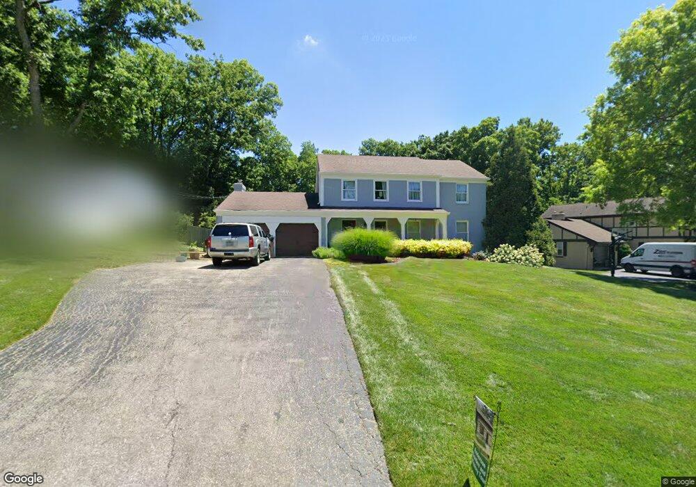
2872 Lengel Rd Cincinnati, OH 45244
Turpin Hills NeighborhoodEstimated Value: $570,359 - $731,000
4
Beds
4
Baths
2,928
Sq Ft
$217/Sq Ft
Est. Value
About This Home
This home is located at 2872 Lengel Rd, Cincinnati, OH 45244 and is currently estimated at $634,840, approximately $216 per square foot. 2872 Lengel Rd is a home located in Hamilton County with nearby schools including Mercer Elementary School, Nagel Middle School, and Turpin High School.
Ownership History
Date
Name
Owned For
Owner Type
Purchase Details
Closed on
Mar 4, 1998
Sold by
Schradin Leslie J and Schradin Marsha M
Bought by
Dilts Judith K
Current Estimated Value
Home Financials for this Owner
Home Financials are based on the most recent Mortgage that was taken out on this home.
Original Mortgage
$165,000
Outstanding Balance
$26,960
Interest Rate
7.23%
Estimated Equity
$607,880
Create a Home Valuation Report for This Property
The Home Valuation Report is an in-depth analysis detailing your home's value as well as a comparison with similar homes in the area
Home Values in the Area
Average Home Value in this Area
Purchase History
| Date | Buyer | Sale Price | Title Company |
|---|---|---|---|
| Dilts Judith K | $239,000 | -- |
Source: Public Records
Mortgage History
| Date | Status | Borrower | Loan Amount |
|---|---|---|---|
| Open | Dilts Judith K | $165,000 |
Source: Public Records
Tax History
| Year | Tax Paid | Tax Assessment Tax Assessment Total Assessment is a certain percentage of the fair market value that is determined by local assessors to be the total taxable value of land and additions on the property. | Land | Improvement |
|---|---|---|---|---|
| 2025 | $8,763 | $140,189 | $26,845 | $113,344 |
| 2023 | $8,100 | $140,189 | $26,845 | $113,344 |
| 2022 | $8,036 | $123,873 | $23,335 | $100,538 |
| 2021 | $7,846 | $123,873 | $23,335 | $100,538 |
| 2020 | $7,937 | $123,873 | $23,335 | $100,538 |
| 2019 | $7,736 | $109,620 | $20,650 | $88,970 |
| 2018 | $7,246 | $109,620 | $20,650 | $88,970 |
| 2017 | $6,834 | $109,620 | $20,650 | $88,970 |
| 2016 | $8,111 | $127,155 | $20,580 | $106,575 |
| 2015 | $7,877 | $127,155 | $20,580 | $106,575 |
| 2014 | $7,883 | $127,155 | $20,580 | $106,575 |
| 2013 | $7,099 | $121,100 | $19,600 | $101,500 |
Source: Public Records
Map
Nearby Homes
- 2779 Redfield Place
- 5459 Hanover Cir
- 2605 Bonnie Dr
- 6362 Stirrup Rd
- 2669 Newtown Rd
- 5327 Reserve Cir
- 6809 Jefferson St
- 6253 Sturdy Ave
- 6912 Edith St
- 2911 Perthwood Dr
- 2127 Oxford Ave Unit 10
- 2121 Sutton Ave
- 2111 Sutton Ave
- 6050 Bagdad Dr
- 3305 Scioto Dr
- 7080 Hunley Rd
- 1944 Rockland Ave
- 6258 Benneville St
- 1776 Wilaray Terrace
- 4715 Wilmer Ct
- 2884 Lengel Rd
- 2860 Lengel Rd
- 5986 Crittenden Dr
- 5971 Ropes Dr
- 5992 Crittenden Dr
- 2896 Lengel Rd
- 5983 Ropes Dr
- 2850 Lengel Rd
- 2879 Lengel Rd
- 5969 Lengwood Dr
- 5998 Crittenden Dr
- 5993 Ropes Dr
- 2895 Lengel Rd
- 2851 Lengel Rd
- 5957 Lengwood Dr
- 5950 Lengwood Dr
- 6005 Ropes Dr
- 5925 Ropes Dr
- 6010 Crittenden Dr
- 5987 Crittenden Dr
Your Personal Tour Guide
Ask me questions while you tour the home.