Estimated Value: $194,000 - $339,000
3
Beds
3
Baths
1,907
Sq Ft
$147/Sq Ft
Est. Value
About This Home
This home is located at 288 Keene Rd, Cairo, GA 39828 and is currently estimated at $279,654, approximately $146 per square foot. 288 Keene Rd is a home.
Ownership History
Date
Name
Owned For
Owner Type
Purchase Details
Closed on
Nov 18, 2016
Sold by
Mary Nell Rehberg
Bought by
Rehberg Owens Jeb Stuart and Rehberg Owens Mary Nell
Current Estimated Value
Home Financials for this Owner
Home Financials are based on the most recent Mortgage that was taken out on this home.
Original Mortgage
$197,100
Interest Rate
3.52%
Mortgage Type
New Conventional
Purchase Details
Closed on
Mar 28, 2006
Sold by
Rehberg Doris M
Bought by
Owens Mary Nell Rehberg
Create a Home Valuation Report for This Property
The Home Valuation Report is an in-depth analysis detailing your home's value as well as a comparison with similar homes in the area
Purchase History
| Date | Buyer | Sale Price | Title Company |
|---|---|---|---|
| Rehberg Owens Jeb Stuart | -- | -- | |
| Owens Mary Nell Rehberg | -- | -- |
Source: Public Records
Mortgage History
| Date | Status | Borrower | Loan Amount |
|---|---|---|---|
| Closed | Rehberg Owens Jeb Stuart | $197,100 |
Source: Public Records
Tax History Compared to Growth
Tax History
| Year | Tax Paid | Tax Assessment Tax Assessment Total Assessment is a certain percentage of the fair market value that is determined by local assessors to be the total taxable value of land and additions on the property. | Land | Improvement |
|---|---|---|---|---|
| 2024 | $2,176 | $91,050 | $1,854 | $89,196 |
| 2023 | $2,707 | $89,946 | $1,980 | $87,966 |
| 2022 | $2,707 | $89,946 | $1,980 | $87,966 |
| 2021 | $2,716 | $89,946 | $1,980 | $87,966 |
| 2020 | $2,725 | $89,946 | $1,980 | $87,966 |
| 2019 | $2,725 | $89,946 | $1,980 | $87,966 |
| 2018 | $2,576 | $25,094 | $1,980 | $23,114 |
| 2017 | $695 | $25,094 | $1,980 | $23,114 |
| 2016 | $55 | $1,980 | $1,980 | $0 |
| 2015 | $54 | $1,980 | $1,980 | $0 |
| 2014 | -- | $1,980 | $1,980 | $0 |
| 2013 | -- | $2,520 | $2,520 | $0 |
Source: Public Records
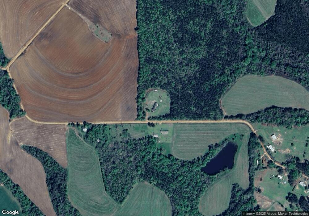
Map
Nearby Homes
- 4761 Hadley Ferry Road (428+ - Acres)
- 4103 Hadley Ferry Rd
- 198 2nd Ave
- 15222 High Hill Cir
- 000 Magnolia Dr NW
- XXXX Xxxx Fairbanks Ferry
- 00 Tired Creek Rd
- 404 Beaver Lake Rd
- 3055 Hadley Ferry Rd
- 171 Council Ln
- 421 Lewis Rd
- 48 Blue Bird Ct
- 1718 Old 179 S
- 2ACR Lewis Rd
- 7667 Tallahassee Hwy
- 12995 N Meridian Rd
- 0 Hiamonee Dr
- 0 Fla-Ga Hwy Unit 355337
- 170 Pine Top Trail
- 3695 Tired Creek Rd
- 0 Keene Rd
- 279 Keene Rd
- 00 Keene Rd
- 167 Keene Rd
- 147 Keene Rd
- 2322 Lower Hawthorne Trail
- 2210 Lower Hawthorne Trail
- 2264 Lower Hawthorne Trail
- 2354 Lower Hawthorne Trail
- 100 Keene Rd
- 477 Bryant Rd
- 8.39 ac Lower Hawthorne Trail
- 487 Bryant Rd
- 464 Bryant Rd
- 2243 Lower Hawthorne Trail
- 2341 Lower Hawthorne Trail
- 2341 Lower Hawthorne Trail
- 2104 Lower Hawthorne Trail
- 2404 Lower Hawthorne Trail
- 534 Bryant Rd