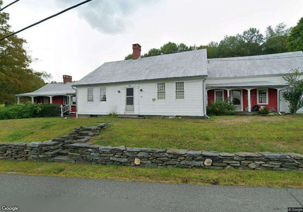
288 S Central St Plainfield, MA 01070
Estimated Value: $420,894 - $483,000
4
Beds
3
Baths
3,119
Sq Ft
$145/Sq Ft
Est. Value
About This Home
This home is located at 288 S Central St, Plainfield, MA 01070 and is currently estimated at $451,965, approximately $144 per square foot. 288 S Central St is a home located in Hampshire County with nearby schools including Mohawk Trail Regional High School.
Create a Home Valuation Report for This Property
The Home Valuation Report is an in-depth analysis detailing your home's value as well as a comparison with similar homes in the area
Home Values in the Area
Average Home Value in this Area
Tax History
| Year | Tax Paid | Tax Assessment Tax Assessment Total Assessment is a certain percentage of the fair market value that is determined by local assessors to be the total taxable value of land and additions on the property. | Land | Improvement |
|---|---|---|---|---|
| 2025 | $6,139 | $332,200 | $106,900 | $225,300 |
| 2024 | $5,663 | $264,400 | $84,300 | $180,100 |
| 2023 | $5,478 | $264,400 | $84,300 | $180,100 |
| 2022 | $5,275 | $264,400 | $84,300 | $180,100 |
| 2021 | $5,004 | $260,100 | $83,000 | $177,100 |
| 2020 | $5,040 | $250,500 | $78,100 | $172,400 |
| 2019 | $4,548 | $234,200 | $78,700 | $155,500 |
| 2018 | $4,522 | $237,000 | $71,800 | $165,200 |
| 2017 | $4,449 | $228,600 | $67,600 | $161,000 |
| 2016 | $4,594 | $243,600 | $82,600 | $161,000 |
| 2015 | $4,397 | $246,600 | $93,900 | $152,700 |
| 2014 | $4,304 | $240,700 | $91,300 | $149,400 |
Source: Public Records
Map
Nearby Homes
- 10 Maple St
- 296 E Main St
- 311 Cummington Rd
- 333 Ranney Corner Rd
- 0 John Ford Rd Unit 73403156
- 0 Spruce Corner Rd Unit 73244975
- 13 Jordan Rd
- 54 Porter Hill Rd
- 39 Hawley St
- 678 W Main St
- 237 Trouble St
- 00 Capen Clark Rd
- 0 Sears Rd Unit 73373850
- 146 Berkshire Trail W
- 220 Hawley Rd
- 90 Williamsburg Rd
- 458 Old North Rd
- 40 Suburban Dr
- 00 Yale Rd
- lot 16 Pierce Rd
Your Personal Tour Guide
Ask me questions while you tour the home.