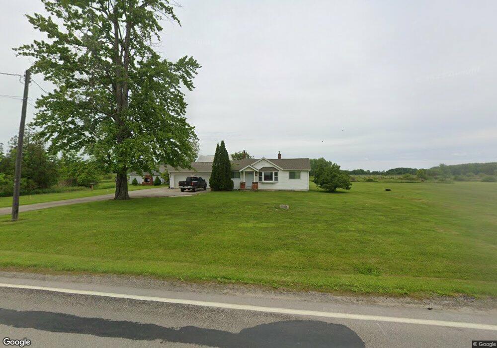
2887 State Route 167 Jefferson, OH 44047
Estimated Value: $193,000 - $262,000
3
Beds
2
Baths
1,970
Sq Ft
$118/Sq Ft
Est. Value
About This Home
This home is located at 2887 State Route 167, Jefferson, OH 44047 and is currently estimated at $232,907, approximately $118 per square foot. 2887 State Route 167 is a home located in Ashtabula County with nearby schools including Jefferson Elementary School, Jefferson Area Junior High School, and Jefferson Area Senior High School.
Ownership History
Date
Name
Owned For
Owner Type
Purchase Details
Closed on
Jun 5, 2012
Sold by
Mansur Muhammad and Streety Roland L
Bought by
Kelsey Tracy E
Current Estimated Value
Home Financials for this Owner
Home Financials are based on the most recent Mortgage that was taken out on this home.
Original Mortgage
$97,465
Outstanding Balance
$68,552
Interest Rate
4.15%
Mortgage Type
FHA
Estimated Equity
$164,355
Purchase Details
Closed on
Nov 1, 2011
Sold by
Mansur Muhammad and Streety Ronald L
Bought by
Estate Of Roland Streety
Create a Home Valuation Report for This Property
The Home Valuation Report is an in-depth analysis detailing your home's value as well as a comparison with similar homes in the area
Home Values in the Area
Average Home Value in this Area
Purchase History
| Date | Buyer | Sale Price | Title Company |
|---|---|---|---|
| Kelsey Tracy E | $100,000 | Chicago Title | |
| Estate Of Roland Streety | -- | Chicago Title |
Source: Public Records
Mortgage History
| Date | Status | Borrower | Loan Amount |
|---|---|---|---|
| Open | Kelsey Tracy E | $97,465 |
Source: Public Records
Tax History Compared to Growth
Tax History
| Year | Tax Paid | Tax Assessment Tax Assessment Total Assessment is a certain percentage of the fair market value that is determined by local assessors to be the total taxable value of land and additions on the property. | Land | Improvement |
|---|---|---|---|---|
| 2024 | $5,121 | $67,480 | $10,360 | $57,120 |
| 2023 | $2,577 | $67,480 | $10,360 | $57,120 |
| 2022 | $2,008 | $48,790 | $7,980 | $40,810 |
| 2021 | $2,032 | $48,790 | $7,980 | $40,810 |
| 2020 | $2,033 | $48,790 | $7,980 | $40,810 |
| 2019 | $1,825 | $42,710 | $7,320 | $35,390 |
| 2018 | $1,751 | $42,710 | $7,320 | $35,390 |
| 2017 | $1,748 | $42,710 | $7,320 | $35,390 |
| 2016 | $1,557 | $36,230 | $6,200 | $30,030 |
| 2015 | $1,554 | $36,230 | $6,200 | $30,030 |
| 2014 | $1,507 | $36,230 | $6,200 | $30,030 |
| 2013 | $1,566 | $37,420 | $5,670 | $31,750 |
Source: Public Records
Map
Nearby Homes
- V/L State Route 167
- 876 Clay Rd
- 1067 Garrett Rd
- 2977 Ohio 307
- 309 Woodland Way Unit A
- 0 Tower Rd
- V/L Ohio 167
- 2234 Ohio 307
- 0000 Black Sea Rd
- 0 Lewis Rd
- 2608 Stanhope Kelloggsville Rd
- 1749 Black Sea Rd
- 116 Willis Ave
- 3448 Maple Rd
- 1148 Lewis Rd
- 187 Garfield Ln
- 5011 Beckwith Rd
- 157 W Monroe Cir
- 0 Vl St Rt 307
- 0 Pinney Topper Rd Unit 5128549
- 2911 State Route 167
- 2911 Ohio 167
- 2929 State Route 167
- 2908 State Route 167
- 1000 Brown Rd
- 1012 Brown Rd
- 56 Clay Rd
- 2956 State Route 167
- 2953 State Route 167
- 88 Clay Rd
- 2964 State Route 167
- 88 V/L Clay Rd
- 1044 Brown Rd
- 2999 State Route 167
- 1076 Brown Rd
- 3030 State Route 167
- 3047 State Route 167
- 3074 State Route 167
- 3063 State Route 167
- 1172 Brown Rd