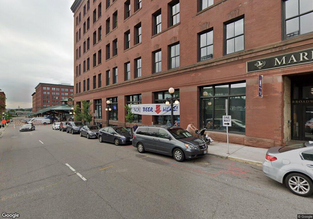
289 5th St E Unit 609 Saint Paul, MN 55101
Downtown NeighborhoodEstimated Value: $232,000 - $406,000
2
Beds
1
Bath
1,306
Sq Ft
$222/Sq Ft
Est. Value
About This Home
This home is located at 289 5th St E Unit 609, Saint Paul, MN 55101 and is currently estimated at $289,388, approximately $221 per square foot. 289 5th St E Unit 609 is a home located in Ramsey County with nearby schools including John A.Johnson Achievement Plus Elementary School, Creative Arts Secondary School, and Washington Technology Magnet School.
Ownership History
Date
Name
Owned For
Owner Type
Purchase Details
Closed on
May 26, 2009
Sold by
Bank Of America
Bought by
Wing Aaron M
Current Estimated Value
Purchase Details
Closed on
May 1, 2002
Sold by
Hersrud Michael D and Hersrud Lisa A
Bought by
Kirchner John R and Marvin Catherine I
Purchase Details
Closed on
Jun 28, 2001
Sold by
Jodzio Gregory and Jodzio Betty Jo
Bought by
Hersrud Michael and Hersrud Lisa
Create a Home Valuation Report for This Property
The Home Valuation Report is an in-depth analysis detailing your home's value as well as a comparison with similar homes in the area
Home Values in the Area
Average Home Value in this Area
Purchase History
| Date | Buyer | Sale Price | Title Company |
|---|---|---|---|
| Wing Aaron M | $120,000 | -- | |
| Kirchner John R | $250,000 | -- | |
| Hersrud Michael | $223,250 | -- |
Source: Public Records
Tax History Compared to Growth
Tax History
| Year | Tax Paid | Tax Assessment Tax Assessment Total Assessment is a certain percentage of the fair market value that is determined by local assessors to be the total taxable value of land and additions on the property. | Land | Improvement |
|---|---|---|---|---|
| 2025 | $4,276 | $230,600 | $1,000 | $229,600 |
| 2023 | $4,276 | $280,500 | $1,000 | $279,500 |
| 2022 | $4,374 | $289,000 | $1,000 | $288,000 |
| 2021 | $4,020 | $280,600 | $1,000 | $279,600 |
| 2020 | $4,058 | $268,800 | $1,000 | $267,800 |
| 2019 | $3,642 | $249,000 | $1,000 | $248,000 |
| 2018 | $3,436 | $227,800 | $1,000 | $226,800 |
| 2017 | $1,994 | $221,200 | $1,000 | $220,200 |
| 2016 | $1,778 | $0 | $0 | $0 |
| 2015 | $1,868 | $128,300 | $6,400 | $121,900 |
| 2014 | $1,982 | $0 | $0 | $0 |
Source: Public Records
Map
Nearby Homes
- 289 5th St E Unit 408
- 289 5th St E Unit 403
- 406 Wacouta St Unit 515
- 406 Wacouta St Unit 707
- 406 Wacouta St Unit 107
- 406 Wacouta St Unit 603
- 406 Wacouta St Unit 108
- 406 Wacouta St Unit 601
- 406 Wacouta St Unit 207
- 406 Wacouta St Unit 611
- 406 Wacouta St Unit 216
- 406 Wacouta St Unit 308
- 270 4th St E Unit 301
- 270 4th St E Unit 203
- 270 4th St E Unit 509
- 270 4th St E Unit 401
- 300 Wall St Unit 306
- 300 Wall St Unit 502
- 300 Wall St Unit 708
- 300 Wall St Unit 201
- 289 5th St E Unit 608
- 289 5th St E Unit 413
- 289 5th St E Unit 614
- 289 5th St E Unit 301
- 289 5th St E Unit 405
- 289 5th St E Unit 509
- 289 5th St E Unit 401
- 289 5th St E Unit 412
- 289 5th St E Unit 604
- 289 5th St E Unit 310
- 289 5th St E Unit 414
- 289 5th St E Unit 605
- 289 5th St E
- 289 5th St E Unit 411
- 289 5th St E Unit 504
- 289 5th St E Unit 302
- 289 5th St E Unit 501
- 289 5th St E Unit 305
- 289 5th St E Unit 407
- 289 5th St E Unit 512